

US Route 20 is the longest highway in the United States — 3,365 miles from Newport, Oregon on the Pacific Coast to Boston, Massachusetts on the Atlantic. Nebraska's 431-mile segment is the third-longest of any state, after Oregon and Wyoming, and one of the most remote and scenic drives in the country.
Commissioned in 1926 as part of America's original numbered highway system, US-20 is one of the oldest routes in the nation. In Nebraska, it runs coast-to-mountain-to-plains across the entire northern tier of the state — from the Missouri River bluffs at South Sioux City, through the fertile Elkhorn Valley, past the Niobrara River canyon, across the sweeping Nebraska Sandhills, through the Pine Ridge badlands, and into the high plains near the Wyoming border at Harrison.
Three great rivers shape the US-20 corridor through Nebraska. The Niobrara River — a National Scenic River — runs east through Cherry and Brown counties, offering world-class canoeing and wildlife viewing. The Elkhorn River winds through Holt and Antelope counties near O'Neill and Neligh. The Missouri River marks the eastern end of Nebraska's US-20 run at South Sioux City — where the highway crosses into Iowa and continues its 3,365-mile journey to the Atlantic coast.
Before it was 20. Before it carried a federal number, much of this road had a name: the Blue Pole Highway. A 1924 map of Nebraska's best roads traced it from Harrison through Chadron, Valentine and O'Neill, and federal highway historians still cite the Blue Pole Highway, Chadron to Fremont, as an example of how early auto trails were marked. West of O'Neill it followed an older path, the Fremont, Elkhorn & Missouri Valley Railroad, later the Chicago & North Western's "Cowboy Line," whose trains reached Valentine in 1883 and Chadron in 1885. East of O'Neill the Blue Pole turned southeast down the Elkhorn valley, the line of today's Highway 275, while U.S. 20 took its own way east to the Missouri. Nebraska gave the road a string of state numbers in 1922, combined them as Highway 1, and in 1926 it joined the new national system as U.S. 20. The railroad was abandoned in 1992, and its grade is now the Cowboy Trail.
NebraskaHighway20.com brings you here — Nebraska's most complete guide to the US-20 corridor.
US Highway 20 Corridor
Nebraska’s northern backbone—400+ miles of towns, museums, and landscapes.
From the Wyoming border to Siouxland, Highway 20 threads through the heart of northern Nebraska. This corridor links prairie towns, scenic overlooks, and local businesses- offering a panoramic journey across the state. Whether you’re exploring Fort Robinson, Ainsworth, Laurel, or South Sioux City, Highway 20 invites discovery.
Plan Your Journey
- Use the site directory to find places to eat, stay, and explore
- Visit each county module for town-by-town travel guides
Runza along Highway 20
Entering Nebraska from Wyoming
Highway 20 enters Nebraska just east of Lusk, Wyoming, crossing the state line into Harrison—the highest town in the state. From here, the highway begins its 431-mile journey across northern Nebraska, making it the longest highway in the state.
Nationally, U.S. Highway 20 is the longest road in America, stretching over 3,365 miles from Newport, Oregon to Boston, Massachusetts. Nebraska’s segment was designated in 1926 and remains a two-lane corridor of prairie towns, river crossings, and historic landmarks. The western 197 miles—from the Wyoming line to Valentine—are officially recognized as the Bridges to Buttes Scenic Byway, showcasing escarpments, Sandhills, and frontier history.
As you travel east, Highway 20 threads through 12 counties and dozens of communities—each with its own story. Whether you’re visiting in person or browsing from afar, we invite you to use the Directory to explore every county and town page. The Directory is your gateway to Nebraska’s Highway 20 corridor—past, present, and future.
Start your journey in Sioux County, or use the navigation below to explore each county along the route.
Explore Sioux County
Sioux County
County Page:
Sioux County
Sioux County Cameras
Towns:
Harrison ·
Montrose ·
Agate ·
Andrews
.Nebraska’s northwest corner, and the emptiest stretch of the whole route. Harrison, the county seat, sits at 4,876 feet — the highest town in Nebraska, which is why it bills itself Nebraska’s Top Town. Population 239. Agate Fossil Beds National Monument lies south of the highway, and Sowbelly Canyon cuts north of Harrison into the Pine Ridge.
History along the road. Highway 20 enters Nebraska beside the site of Coffee Siding, where rancher Charles F. Coffee built cattle pens along the new railroad. The rails reached Harrison by June 1886, and on August 15 Coffee shipped the first trainload of cattle to Chicago. Harrison began in 1884 as a railroad camp called Summit, was platted as Bowen, and took the name Harrison on June 20, 1887. Until the town dug a well, water was hauled five miles by wagon from Sowbelly Canyon. Markers for both sites stand beside the highway.
US-20 near Harrison looking east
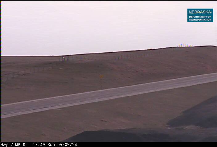
US-20 at Harrison looking west
US-20 east of Harrison looking east
US-20 east of Harrison looking west
Leaving Sioux County
As you roll east from Harrison, Nebraska’s highest town, the land opens into the Pine Ridge escarpment. Just beyond town lies Sowbelly Canyon, a hidden gem of winding roads and red rock cliffs. The highway dips past Red Cloud Buttes and enters Fort Robinson State Park—once a frontier outpost, now a place to hike, ride horses, and stand where Crazy Horse surrendered in 1877.
It’s here that Highway 20 becomes the Bridges to Buttes Scenic Byway, a 197-mile stretch of history and high plains beauty. You’re not just driving—you’re tracing the edge of Nebraska’s wild past.
Explore Dawes County
Dawes County
County Page:
Dawes County
Dawes County Cameras
Towns:
Chadron ·
Crawford ·
Whitney
The largest town on the western half of the route. Chadron, the county seat, has a state college, a state park just south, and full services — the last real supply stop before the Sandhills. Fort Robinson State Park lies west near Crawford, and the Museum of the Fur Trade sits a few miles east of Chadron on US-20.
History along the road. The railroad built Dawes County's towns. When the Fremont, Elkhorn & Missouri Valley bypassed the settlement of O'Linn in the mid-1880s, its people moved the town, buildings and all, to the new railroad site of Chadron. Crawford began as a tent city in 1886 and was named for Army Captain Emmet Crawford. Whitney, first called Dawes City and then Earth Lodge, took the name of railroad official Peter Whitney. In 1893 Chadron started a thousand-mile cowboy horse race to Chicago, and east of town the Museum of the Fur Trade stands on the site of the Bordeaux trading post.

US-20 at Whitney Spur looking east
US-20 at Whitney Spur looking west
Leaving Dawes County
East of Chadron, Highway 20 climbs through the Pine Ridge Escarpment, passing Bordeaux Creek and the site of Nebraska’s oldest state park. The Museum of the Fur Trade marks the legacy of frontier commerce, with artifacts from Kit Carson and Tecumseh. As the road rises, views stretch toward the Black Hills and the sandstone buttes of Whitney fade behind you.
Just beyond the ridge, the land softens into prairie. You’re entering Sheridan County—where the Sandhills begin to roll and the towns of Hay Springs, Rushville, and Gordon offer quiet charm and deep roots. This is Nebraska’s high plains heartland, where the railroad once carved a path through cattle country and the sky seems to stretch forever.
Explore Sheridan County
Sheridan County
County Page:
Sheridan County
Sheridan County Cameras
Towns:
Gordon ·
Hay Springs ·
Rushville
US-20 runs the length of Sheridan County, linking Hay Springs, Rushville and Gordon — three towns strung along the railroad that built them. Rushville is the county seat. This is transition country, where the Pine Ridge falls away and the Sandhills begin to roll.
History along the road. The tracks crossed Sheridan County in 1885, and the towns followed them. Hay Springs, named for the hay meadows east of the springs, was incorporated that November. Rushville began as Rush Valley, two miles north; when the railroad missed it, its merchants bought lots from the railroad's townsite company and moved, incorporating on October 9, 1885. Clinton was named for Clinton, Iowa, and Gordon for a pioneer settler named John Gordon. A marker at Hay Springs recalls Camp Sheridan, and another stands in Rushville's Main Street park.
US-20 west of Hay Springs looking east
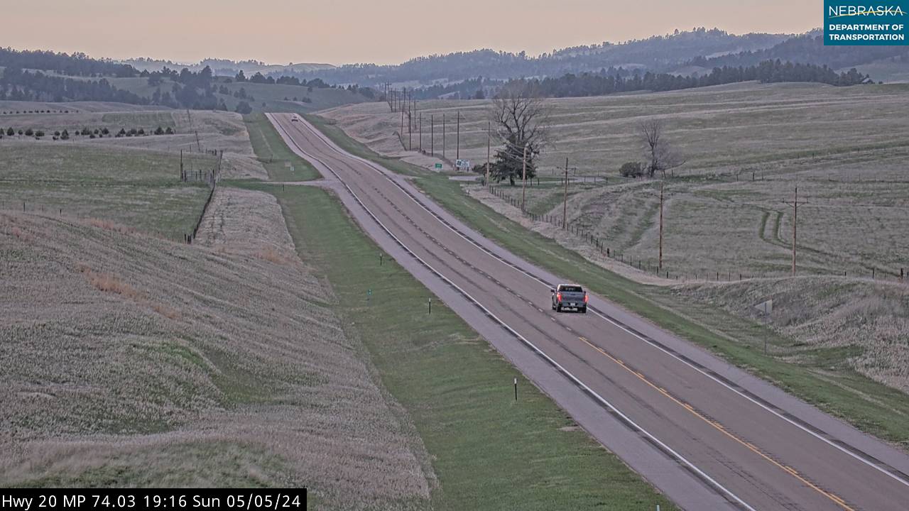
US-20 west of Hay Springs looking west
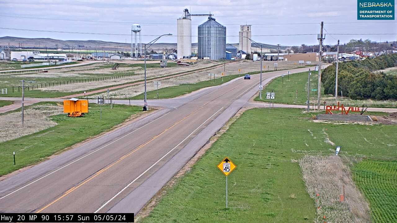
US-20 at Rushville looking east
US-20 at Rushville looking west
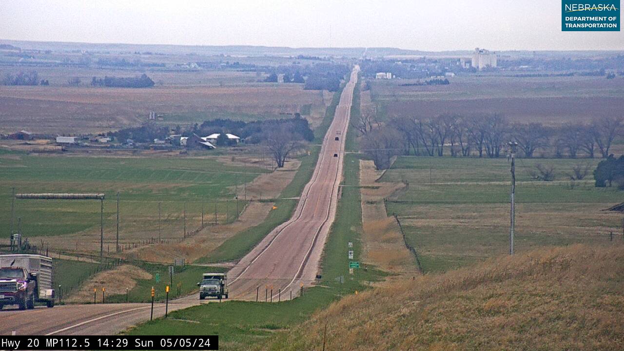
US-20 at Gordon, west panoramic
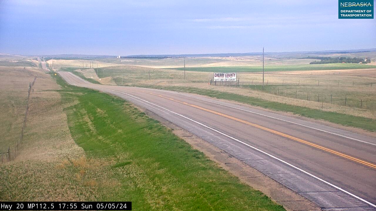
US-20 at Gordon looking east
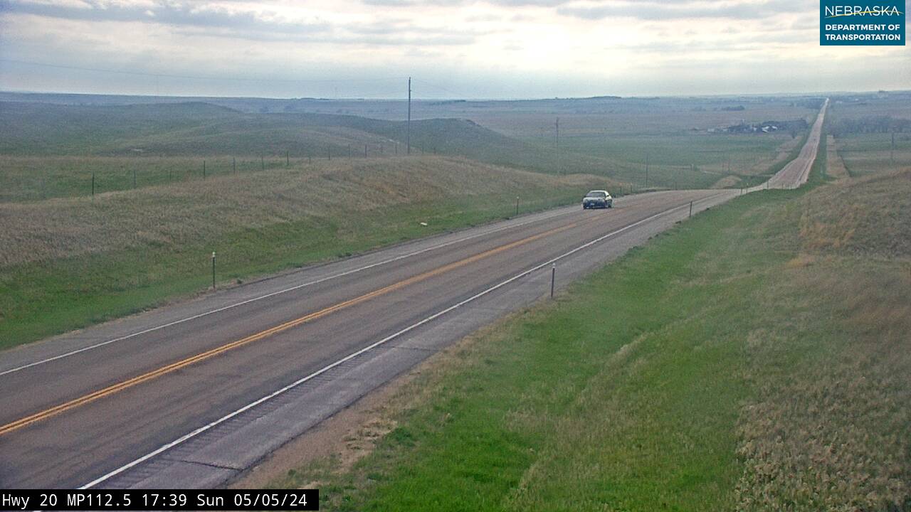
US-20 at Gordon looking west
Leaving Sheridan County
East of Gordon, Highway 20 begins to dip into the western edge of Nebraska’s Sandhills—a vast region of grass-stabilized dunes and quiet beauty. The railroad once carved through this land, linking cattle towns like Rushville and Hay Springs to markets far beyond. As the prairie rolls into ridges, you enter Cherry County—the largest in Nebraska and one of the most scenic.
This is where the Niobrara River begins to shape the land. Near Merriman, the river flows through cliffs and cottonwoods. In Valentine, it becomes a national treasure—designated as a National Scenic River and beloved by paddlers, hikers, and wildlife watchers. The Cowboy Trail parallels the highway here, offering a rail-to-trail experience through the heart of the Sandhills. And just south of town, Smith Falls tumbles 63 feet—the tallest waterfall in Nebraska.
Explore Cherry County
Cherry County
County Page:
Cherry County
Cherry County Cameras
Towns:
Cody ·
Crookston ·
Eli ·
Kilgore ·
Merriman ·
Nenzel ·
Valentine ·
Woodlake ·
Arabia ·
Bayonne ·
Brownlee ·
Cascade ·
Elsmere ·
Sparks
Nebraska’s largest county by a wide margin — nearly 6,000 square miles, bigger than the state of Connecticut — and the heart of the Sandhills. Valentine, the county seat, is the hub for the Niobrara National Scenic River, Smith Falls, Fort Niobrara National Wildlife Refuge and the Cowboy Trail.
History along the road. Highway 20 crosses Cherry County past a string of 1880s railroad towns, several named for railroad men: Merriman for official J. Merriman, Cody for foreman Thomas Cody, Crookston for official W. T. Crook. Kilgore began in 1883 as Boulware, became Georgia in 1885, and was renamed in 1904 after the post office objected. Trains reached Valentine on April 1, 1883; the town is named for Congressman Edward K. Valentine. Near town, markers recall Fort Niobrara, which stood from 1880 to 1906, and the Bryan Bridge, built in 1932 and chosen that year's most beautiful steel bridge of its class.
History along the road. The railroad reached Long Pine in 1881, and Johnstown and Ainsworth were platted in 1883. Johnstown was named for John Berry, one of the townsite's owners, and Ainsworth for James E. Ainsworth, a railroad engineer who helped build the line. In 1905 the Chicago & North Western built a steel bridge 115 feet above Long Pine Creek and made the town a division point. The last train ran in 1992, and the grade is now the Cowboy Trail. Markers along the highway recall Ainsworth Army Air Field, active from 1942 to 1945, and the Depression-era Lakeland Sod High School.
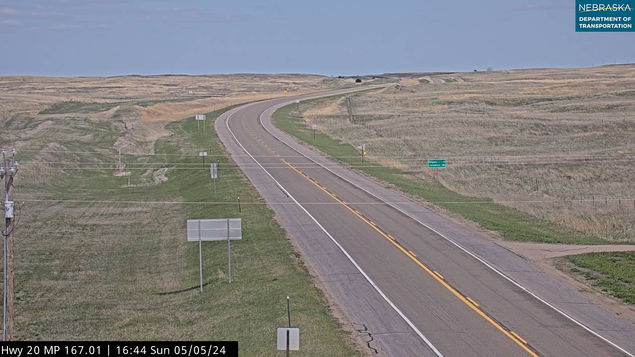
US-20 at Nenzel looking east
US-20 at Nenzel looking south
US-20 at Nenzel looking west
US-20 east of Valentine looking east

US-20 east of Valentine looking south

US-20 east of Valentine looking west
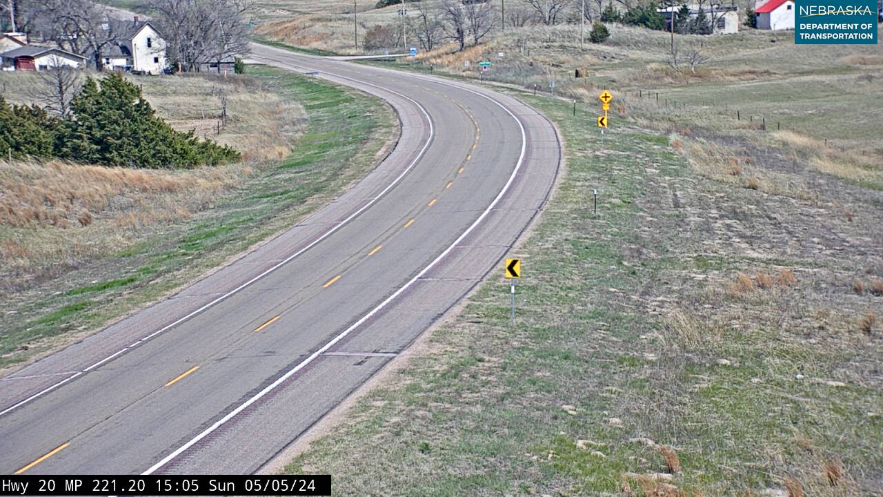
US-20 at Woodlake looking east
US-20 at Woodlake looking west
Leaving Cherry County
East of Valentine, Highway 20 follows the Niobrara River through sandstone cliffs, cottonwood groves, and wildlife refuges. The Niobrara National Scenic River is a favorite for paddlers and birdwatchers, with over 200 waterfalls and a mix of prairie, forest, and canyon ecosystems. As you leave the river behind, the land rises into rolling dunes—the western edge of Nebraska’s Sandhills.
Brown County welcomes you with quiet roads and wide horizons. In Johnstown, you’ll find a one-room schoolhouse and a sense of prairie solitude. Ainsworth, the county seat, offers a gateway to the Cowboy Trail and a glimpse into ranching life. And in Long Pine, a hidden canyon and spring-fed creek invite hikers and trout fishermen to linger. This is Nebraska unplugged—where the land speaks softly and the sky goes on forever.
Explore Brown County
Brown County
County Page:
Brown County
Brown County Cameras
Towns:
Ainsworth ·
Johnstown ·
Long Pine
Ainsworth, the county seat, sits on US-20 midway across the county. Just north of the highway at Long Pine, a spring-fed creek runs through a wooded canyon — a trout stream and a state recreation area, in country where most of the water runs underground.
US-20 Niobrara River Bridge near Long Pine

US-20 north of Long Pine looking east
US-20 north of Long Pine looking south
US-20 north of Long Pine looking west
Leaving Brown County
East of Long Pine, Highway 20 slips deeper into the Sandhills—a region of rolling grass-covered dunes that stretch for miles. The road follows old rail lines and cattle trails, passing windmills, ranch gates, and quiet creeks. This is Nebraska’s most untouched landscape, where the horizon feels endless and the silence is part of the story.
Rock County begins with Bassett, a town built on ranching and resilience. It’s a place where pickup trucks outnumber stoplights and the local fairgrounds host rodeos and reunions. The highway here is a ribbon of memory—linking generations of families who’ve worked the land and stayed rooted in the Sandhills.
Explore Rock County
Rock County
County Page:
Rock County
Rock County Cameras
One of Nebraska’s least-populated counties, and ranching through and through. Bassett, the county seat, has the courthouse, the fairgrounds and a working livestock auction. US-20 crosses the top of the county through Newport.
History along the road. Newport, established in 1883 by the date on its state marker, grew into one of the nation's leading hay-shipping points, and the great prairie fire of 1904 burned more than forty miles across the county and threatened the village. Bassett, the county seat, was founded in 1884. Beside the highway near Newport, Vic and Maude Thompson opened what is considered Nebraska's first roadside rest area around 1938, today's Spring Valley Park. In Bassett, the Rock County Historical Society Museum on West Highway 20 keeps the Chicago & North Western depot and Newport's old railroad water tank.
US-20 east of Newport looking east
US-20 east of Newport looking west
Leaving Rock County
East of Bassett, Highway 20 begins to gather momentum. The Sandhills flatten slightly, and the road threads through ranchland and windbreaks. You’re leaving one of Nebraska’s smallest counties and entering one of its most storied—Holt County, where the highway meets history, commerce, and community. Stuart and Atkinson offer glimpses of small-town pride, with rodeo grounds, grain elevators, and family diners. In O’Neill, the highway crosses a giant shamrock painted on the pavement—marking Nebraska’s Irish capital. The town celebrates its heritage with parades, music, and green everything. Just east, Inman and Ewing sit quietly along the Elkhorn River, where cottonwoods line the banks and the Cowboy Trail continues its parallel path. Holt County is where Highway 20 becomes a thread through both tradition and transition.
Explore Holt County
Holt County
County Page:
Holt County
Holt County Cameras
Towns:
Amelia ·
Atkinson ·
Chambers ·
Dorsey ·
Emmet ·
Ewing ·
Inman ·
O’Neill ·
Paddock ·
Page ·
Stafford ·
Stuart
The busiest stretch of US-20 between Valentine and the Elkhorn Valley. O’Neill, the county seat, is the Irish Capital of Nebraska and marks the junction of US-20 and US-281 with a large shamrock painted on the pavement. US-275 joins the route at Stafford, and Atkinson, Stuart, Emmet, Inman, Page and Ewing line the highway east and west.
History along the road. West of O'Neill, Highway 20 runs with the old Fremont, Elkhorn & Missouri Valley line, and its towns grew up around the stations. Atkinson was platted in 1880 when the rails arrived and named for Col. John Atkinson; Emmet was named for the Irish patriot Robert Emmet. O'Neill takes its name from Gen. John O'Neill, an Irish-born Civil War veteran and Fenian leader, whose first colonists arrived in May 1874. A state marker on Highway 20 east of town calls it Nebraska's largest formal Irish colony. East of O'Neill, Highways 20 and 275 run together for a stretch before 20 turns east on its own.
US-20 at Stafford (US-275 junction) looking east
US-20 at Stafford (US-275 junction) looking northwest
US-20 at Stafford (US-275 junction) looking southeast
Leaving Holt County
East of O'Neill, Highway 20 leaves Highway 275 behind and crosses the northern edge of Antelope County—a region shaped by prairie winds and ancient history. The Sandhills begin to flatten here, and the land opens into rolling farmland and fossil beds. Just north of Royal, you’ll find the Ashfall Fossil Beds State Historical Park, where a volcanic eruption 12 million years ago preserved rhinos, camels, and horses in ash. It’s one of the most significant fossil sites in North America.
Neligh, the county seat, lies south of the highway on Highway 275, where the historic mill still stands beside the Elkhorn, and the town's museum tells stories of early settlement and resilience. Antelope County is where Highway 20 begins to feel more settled—but the land still whispers its ancient past.
History along the road. Highway 20 crosses only the northern edge of Antelope County; Neligh, the county seat, lies to the south on Highway 275. Orchard took its name from local apple orchards, and Royal, first called Savage, was renamed for Royal Thayer, who helped establish its post office. Brunswick, founded in 1879, lies just off the highway. North of Royal in 1971, paleontologist Michael Voorhies found the Ashfall Fossil Beds, where rhinos, camels and horses lie as volcanic ash buried them about twelve million years ago; the state historical park opened in 1991.
Explore Antelope County
Antelope County
County Page:
Antelope County
Antelope County Cameras
Towns:
Brunswick ·
Clearwater ·
Elgin ·
·
Neligh ·
Oakdale ·
Orchard ·
Royal ·
Tilden
Neligh, the county seat, sits on the Elkhorn where the historic Neligh Mill still stands. The county’s landmark is north of Royal: Ashfall Fossil Beds State Historical Park, a prehistoric watering hole where rhinos, camels and horses were buried by volcanic ash twelve million years ago and still lie where they fell.
US-20 near Royal looking north
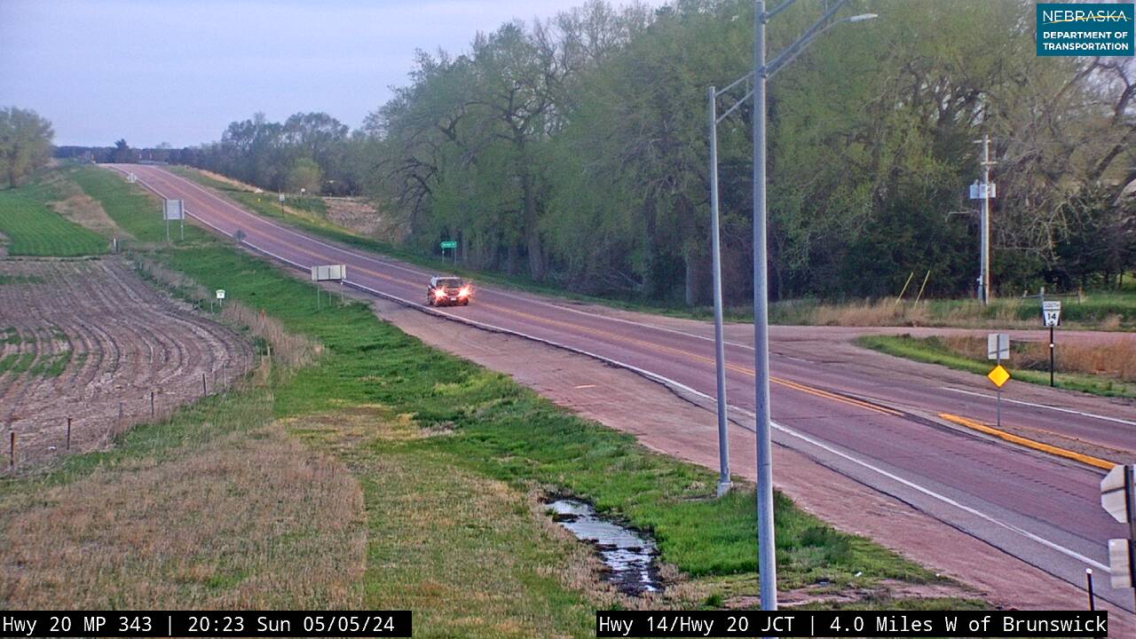
US-20 near Royal looking south
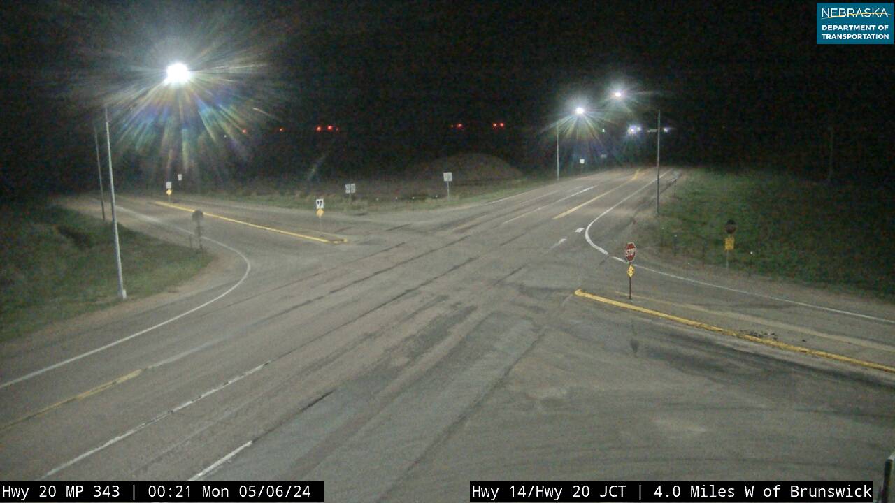
US-20 at Royal/Brunswick junction
US-20 near Royal looking east
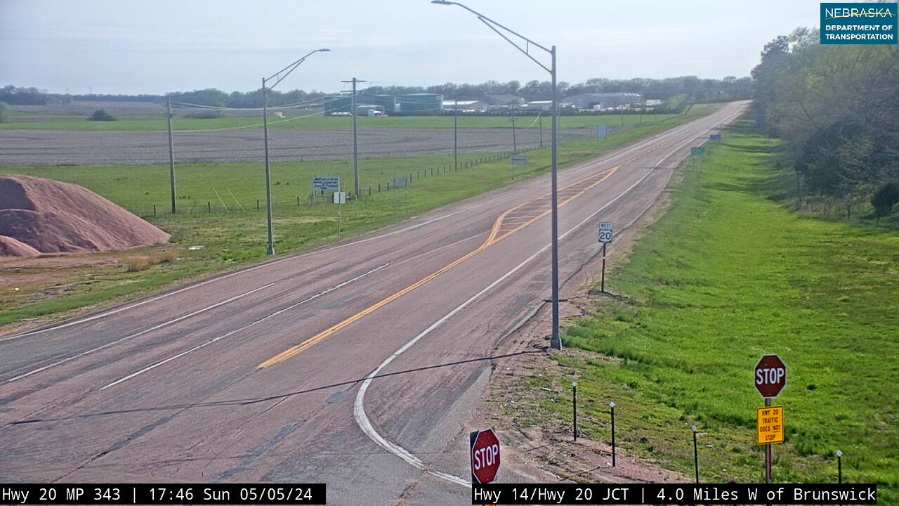
US-20 near Royal looking west
Leaving Antelope County
East of Royal, Highway 20 runs on through farm country toward the Missouri River bluffs. Near Brunswick, Nebraska Highway 14 crosses the route—north toward Verdigre and Niobrara in Knox County, south toward Neligh and on to Grand Island. Before you leave the county, Royal is worth the short jog north. Ashfall Fossil Beds State Historical Park preserves rhinos, camels and horses buried by volcanic ash twelve million years ago, still lying where they fell.
Past Brunswick the land grows more wooded, the horizon tightens, and the road begins to curve. You are entering Pierce County—farm ground, grain elevators, and towns that have kept their footing. Plainview is the main stop on the highway; Pierce, the county seat, sits a short drive south.
Explore Pierce County
Pierce County
County Page:
Pierce County
Pierce County Cameras
Towns:
Breslau ·
Foster ·
Hadar ·
McLean ·
Osmond ·
Pierce ·
Plainview
Farm country on the northern edge of the Elkhorn Valley. Plainview is the US-20 town, and home of the Klown Doll Museum, which is exactly what it sounds like. Pierce, the county seat, sits a short drive south of the highway.
History along the road. Settlers were near Plainview by about 1871. The post office opened as Roseville and became Plainview in 1874, and the town was platted in 1880 when the railroad arrived. Osmond was established in 1890 when a second railroad reached it. Around here, the flat plains of the west give way to the rolling hills of eastern Nebraska, and Highway 20 crosses U.S. 81 on its way into Cedar County.
US-20 near Randolph looking west
US-20 near Randolph looking east
Leaving Pierce County
East of Plainview, Highway 20 crosses into Cedar County—Nebraska's Czech heritage heartland. Pierce County is compact and agricultural, but its towns reflect the quiet pride of northeast Nebraska's farming communities. Plainview is the main stop on the route; the city of Pierce, the county seat, sits just south of the highway and is worth the short detour.
As you head east, the land begins to roll more heavily and the tree lines thicken—the Missouri River bluffs are drawing near, and Cedar County's character shifts from open prairie toward the wooded river country ahead.
Explore Cedar County
Cedar County
County Page:
Cedar County
Cedar County Cameras
Towns:
Aten ·
Belden ·
Bow Valley ·
·
Coleridge ·
Constance ·
Fordyce ·
Hartington ·
Laurel ·
Magnet ·
Menominee ·
Obert ·
Pleasant Valley ·
Randolph ·
Saint Helena ·
Saint James ·
South Yankton ·
Wynot
Czech and German heritage country. Hartington, the county seat, has one of the best-kept downtown squares in northeast Nebraska. On US-20, Randolph marks the western entry and Laurel sits at the junction with Highway 15, which runs north toward South Dakota.
History along the road. Cedar County was organized on February 12, 1857. Randolph began in 1886 after the railroad came through, was named for the British statesman Lord Randolph Churchill, and incorporated in 1889. Belden was named for railroad official Scott Belden. Laurel was founded about 1893 as Claremont Junction and renamed for Laura Martin, daughter of one of its founders. At Laurel, Highway 20 meets Highway 15 and jogs three miles north before turning east again.
Leaving Cedar County
Cedar County is Czech heritage country—one of the most culturally distinct corners of Nebraska. Hartington, the county seat, is a vibrant small city with a strong community identity, historic downtown, and deep Czech roots. Laurel sits at the junction of Highway 20 and Highway 15, which branches north toward South Dakota. Randolph marks the western entry into the county. The Missouri River forms Cedar County's eastern border, and the land rises into bluffs toward the river. Knox County lies just to the north.
A short drive north, in Knox County, two of Nebraska's greatest rivers meet. The Niobrara River flows east from the Sandhills and joins the Missouri at Niobrara—one of the most dramatic confluences in the Great Plains. It is a side trip north from Highway 20; NE 14 runs from near Brunswick to Verdigre and Niobrara.
Explore Knox County
Knox County
County Page:
Knox County
Knox County Cameras
Towns:
Bazile Mills ·
Bloomfield ·
Center ·
Crofton ·
Mars ·
Niobrara ·
Santee ·
Verdigre ·
Venus ·
Wausa ·
Winnetoon
Side trip north. Highway 20 runs just south of Knox County, but its towns and the Missouri River bluffs are a short drive north of the highway.
Center is the county seat, though Bloomfield and Creighton are the larger towns. Knox County is where the Niobrara meets the Missouri, with Niobrara State Park above the confluence. Crofton is the gateway to Lewis and Clark Lake and Gavins Point Dam, and the Santee Sioux Nation lies along the river.
Leaving Knox County
The side trip into Knox County is the greatest natural reward near Highway 20. The Niobrara River and the Missouri River converge at Niobrara—a confluence of two iconic waterways that has shaped this landscape for millennia. Niobrara State Park sits above the confluence with camping, trails, and unforgettable river views.
Crofton provides access to Lewis & Clark Lake and Gavins Point Dam—one of the most popular fishing and boating destinations in the region. The Santee Sioux Nation near Niobrara honors centuries of Dakota heritage along these rivers with cultural events and powwows open to visitors.
As you continue east, the bluffs rise above the Missouri River valley and the land transitions to upland farms and wooded draws. You're entering Dixon County—where Highway 20 begins its final approach to Nebraska's eastern edge.
Explore Dixon County
Dixon County
County Page:
Dixon County
Dixon County Cameras
Towns:
Allen ·
Concord ·
Martinsburg ·
Newcastle ·
Ponca ·
Wakefield
.Ponca, the county seat, sits near the northeast corner beneath the Missouri River bluffs. Ponca State Park is the draw — river overlooks, hardwood ridges and some of the best hiking in eastern Nebraska. Allen, Concord, Wakefield and Newcastle sit along or near US-20.
History along the road. Dixon County was organized in 1858, with its county seat at Ponca to the north. Today's Highway 20 passes no town here, but the original road ran about three miles farther south, due east from Laurel along what is now 869th Road through the villages of Dixon and Allen before turning north. Waterbury, a short spur away, was established in 1890 when the railroad came, and took its name from a spring that supplied a railroad water station.
History along the road. In the 1850s Father Trecy led a colony of Irish Catholic settlers to St. John's, north of present-day Jackson, the first Catholic parish in Nebraska. When the Missouri River threatened the town around 1860, its people moved south to Jackson. South Sioux City, once known as Covington, incorporated in 1887. The Pacific Short Line's combination bridge tied northeast Nebraska to Sioux City until it was torn down in 1981; today Highway 20 crosses the Missouri with Interstate 129 on the Sergeant Floyd Memorial Bridge.
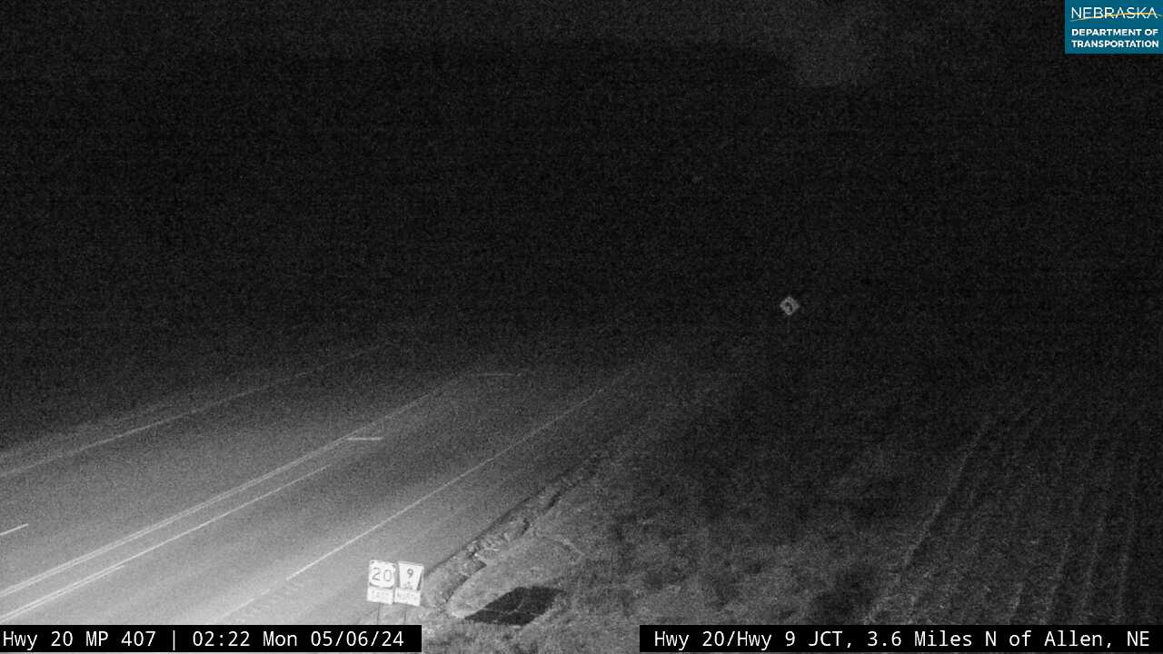
US-20 at Allen looking east
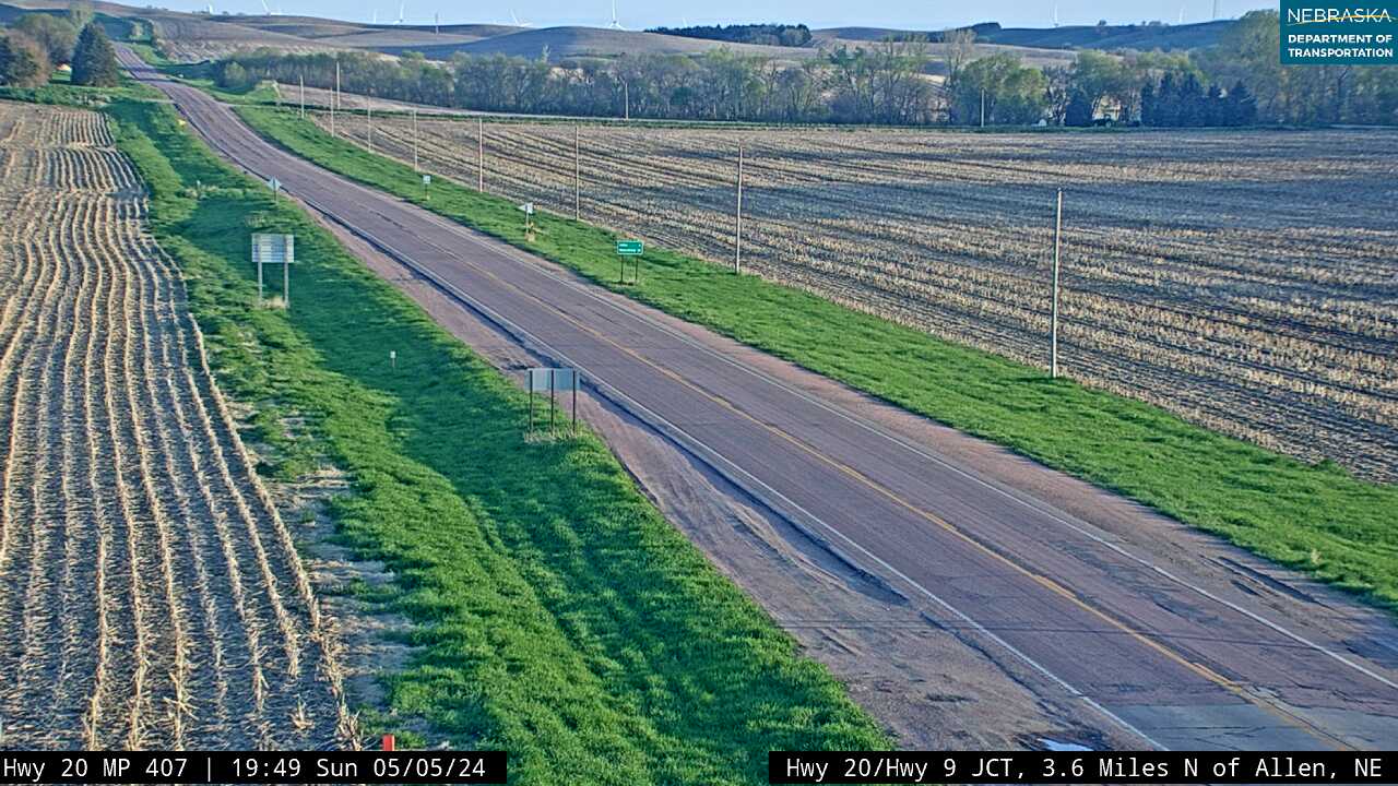
US-20 at Allen looking south
US-20 at Allen looking west

US-20 south of Ponca looking east

US-20 south of Ponca looking south

US-20 south of Ponca looking west
Leaving Dixon County
East of Newcastle, Highway 20 descends into the Missouri River floodplain. The bluffs give way to bottomland fields, and the road straightens as it approaches Nebraska’s eastern edge. You’re entering Dakota County—where Highway 20 ends its journey across the state and meets the river at South Sioux City.
This is Nebraska’s gateway to Siouxland—a tri-state region of commerce, culture, and connection. In South Sioux City, the highway crosses into Iowa, but not before offering views of the riverfront, the historic bridge, and the skyline of Sioux City across the water. Dakota County is where the prairie meets the river—and where Nebraska’s northern route finds its closing chapter.
Explore Dakota County
Dakota County
County Page:
Dakota County
Dakota County Cameras
Towns:
Dakota City ·
Emerson ·
Homer ·
Hubbard ·
South Sioux City
The end of the Nebraska run. US-20 crosses the Missouri at South Sioux City into Iowa, and this is the most urban stretch of the whole route: riverfront parks, restaurants, motels and full services before the bridge. Dakota City is the county seat.
Finish Your Journey in Dakota County
Highway 20 ends its Nebraska journey in South Sioux City, where the prairie meets the Missouri River and the road crosses into Iowa. It’s a place of bridges, riverfront parks, and connection—linking Nebraska to the tri-state Siouxland region.
But the story doesn’t stop here. Every town along Highway 20 has more to share, and every county is part of a living archive. Use the Directory to revisit any town or county page, submit your own updates, or explore nearby corridors like Highway 12 and Highway 275.
Thank you for traveling Nebraska’s longest highway. We hope you found stories worth remembering—and places worth returning to.
From here, US Highway 20 continues east across seven more states—Iowa, Illinois, Indiana, Ohio, Pennsylvania, New York, and Massachusetts—ending in Boston. Nebraska’s 431-mile stretch is the longest and most scenic segment of this historic route, which spans 3,365 miles from Newport, Oregon to the Atlantic coast.
Nebraska Road Conditions & US-20 Travel Tips
US Highway 20 crosses open high plains and Sandhills country where weather can change quickly—blowing snow, fog, and high winds are common in winter and spring. Check current road conditions before you travel.
- Nebraska 511 — Live Road Conditions & Construction
- Nebraska Traffic & Cameras — County by County
- Highway 20 Live Cameras — US-20 Route
Nebraska 511 is maintained by the Nebraska Department of Transportation and updated continuously. For camera images along the US-20 route, use the county toggles in the Camera section above.
RV Travel & Camping Along Nebraska Highway 20
Highway 20 is a favorite route for RV travelers exploring the Great Plains and Nebraska Sandhills. The stretch between Valentine and O'Neill passes through some of the most remote and beautiful terrain in the Midwest—open sky, rolling hills, and very little traffic.
Key stops and resources:
- Smith Falls State Park (Cherry County) — Nebraska's tallest waterfall, a short detour south of US-20 near Sparks
- Fort Niobrara National Wildlife Refuge — near Valentine, bison and elk herds visible from US-20
- Chadron State Park — full hookup camping near the western end of US-20
- Nebraska State Park Campgrounds (Outdoor Nebraska)
- Nebraska Business Directory — search lodging, RV parks, and services along the route
The 1877 Ponca removal crossed this corridor between Niobrara and Neligh — see the Ponca Trail of Tears.
Related Nebraska Travel Corridors
US-20 intersects several other major travel corridors along its 431-mile route across Nebraska.
- US-275 — Meets US-20 at Stafford (Holt County). Connects north-central Nebraska south through Norfolk to Omaha.
- US-281 — Crosses US-20 at O'Neill. Runs south through Atkinson and Saint Paul to Grand Island.
- US-83 — Meets US-20 at Valentine. The north-south spine of the Sandhills, connecting to North Platte and beyond.
- US-12 — Missouri River Corridor, parallels US-20 along Nebraska's northern border through Niobrara, Yankton-area country.
- Cowboy Trail — Nebraska's longest rail trail (321 miles) follows the US-20 corridor from Norfolk west through O'Neill, Valentine, and beyond toward Chadron.