
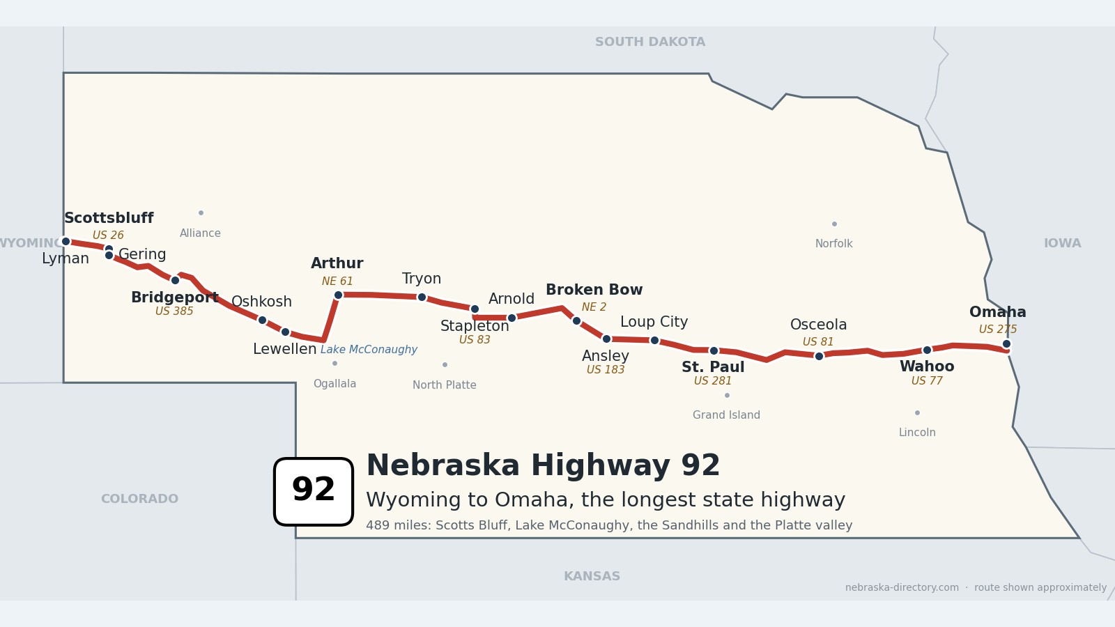
Nebraska Highway 92: Wyoming to Omaha
Nebraska Highway 92 is the longest state highway in Nebraska, about 489 miles from the Wyoming line west of Lyman to the Missouri River bridge in South Omaha. It is one continuous road, but it shares long stretches with other highways: US 26 in the North Platte valley, Nebraska 61 north from Lake McConaughy, Nebraska 2 through Broken Bow, US 81 through Osceola, US 77 through Wahoo and US 275 into Omaha. Along the way it passes Scotts Bluff and Chimney Rock, follows the north shore of Lake McConaughy, crosses the Sandhills through Arthur, Tryon and Stapleton, and runs east through the Loup and Platte valleys. It crosses 15 counties, the North Platte River three times and the Platte twice. At the Wyoming line it continues as Wyoming 92, and across the Missouri as Iowa 92.
Before it was 92.
Before the numbers, parts of this corridor had names. On the 1924 list of Nebraska's named highways, the North Platte Valley Highway ran from Wyoming through Scottsbluff and Oshkosh, the North Star Route ran north from Sidney through Bridgeport, the Upland Highway crossed the lower Sandhills from Broadwater through Arthur and Tryon, and the Potash Highway ran through Broken Bow. Farther east, the Lincoln Highway, along today's US 30, and the Meridian Highway, along today's US 81, crossed the corridor.
Highway 92 is younger than most Nebraska routes. It began in the late 1930s as a road from the Central City area to Omaha, and by about 1939 a continuous Highway 92 ran from North Platte to La Moille, Illinois. In the 1950s its western end was moved to Arthur, and in 1964 it was extended to the Wyoming line. For about three decades the eastern part also carried US 30 Alternate; sources disagree on the exact years. Around Scotts Bluff the road once followed the Oregon Trail through Mitchell Pass and downtown Gering; it was moved around the north side of the bluff in about 2004.
The railroads made most of the towns. Burlington lines founded Scottsbluff and Bridgeport in 1899 and drew Bayard to the tracks in 1900. The Union Pacific's North Platte valley line created Lewellen in 1906, Broadwater and Lisco in 1909, Lemoyne and McGrew in 1911 and Lyman in 1922, and Union Pacific branches reached Arnold and Stapleton in 1912. In the east, the Omaha & Republican Valley line, part of the Union Pacific, started Yutan in 1876 and Rising City in 1878 and reached Osceola in 1879. US 26 and Highway 92 from the Wyoming line to Ogallala are the Western Trails Scenic and Historic Byway, named Nebraska's first scenic and historic byway in 1998.
Begin your journey at the Wyoming line and head east: past Scotts Bluff and Chimney Rock, along the North Platte and the north shore of Lake McConaughy, across the Sandhills to Broken Bow, through the Loup and Platte valleys, and into Omaha.
Counties along Highway 92, west to east: Scotts Bluff · Morrill · Garden · Keith · Arthur · McPherson · Logan · Custer · Sherman · Howard · Merrick · Polk · Butler · Saunders · Douglas
Scotts Bluff County on Highway 92
Lyman, Scottsbluff, Gering and the bluffs.
On the road: Lyman · Scottsbluff (US 26, NE 71) · Gering · Melbeta · McGrew · Scotts Bluff County page
Highway 92 enters from Wyoming just west of Lyman and runs east around the north side of Scotts Bluff National Monument. It crosses the North Platte into Scottsbluff, runs with US 26 and Nebraska 71 through town, and crosses back over the river into Gering. East of Gering it follows the south side of the valley through Melbeta and McGrew toward Chimney Rock.
History along the road. Scotts Bluff National Monument, established on December 12, 1919, guards Mitchell Pass, which Oregon and California Trail travelers used from about 1850. Highway 92 went through the pass until about 2004; the old road, now Old Oregon Trail Road, still leads to the monument's visitor center about three miles west of Gering. Scottsbluff was founded in 1899 by the Burlington's Lincoln Land Company and named for the bluff, which honors fur trader Hiram Scott. Gering was founded in 1887 and named for merchant Martin Gering; the Legacy of the Plains Museum is there. Lyman, less than a mile from Wyoming, became a village in 1922 when the Union Pacific arrived and is named for bankers Charles and W. H. Lyman.
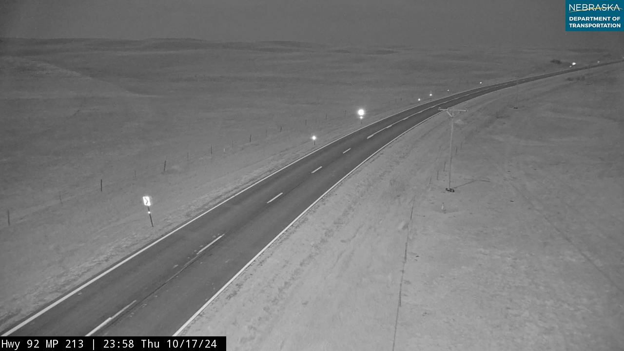
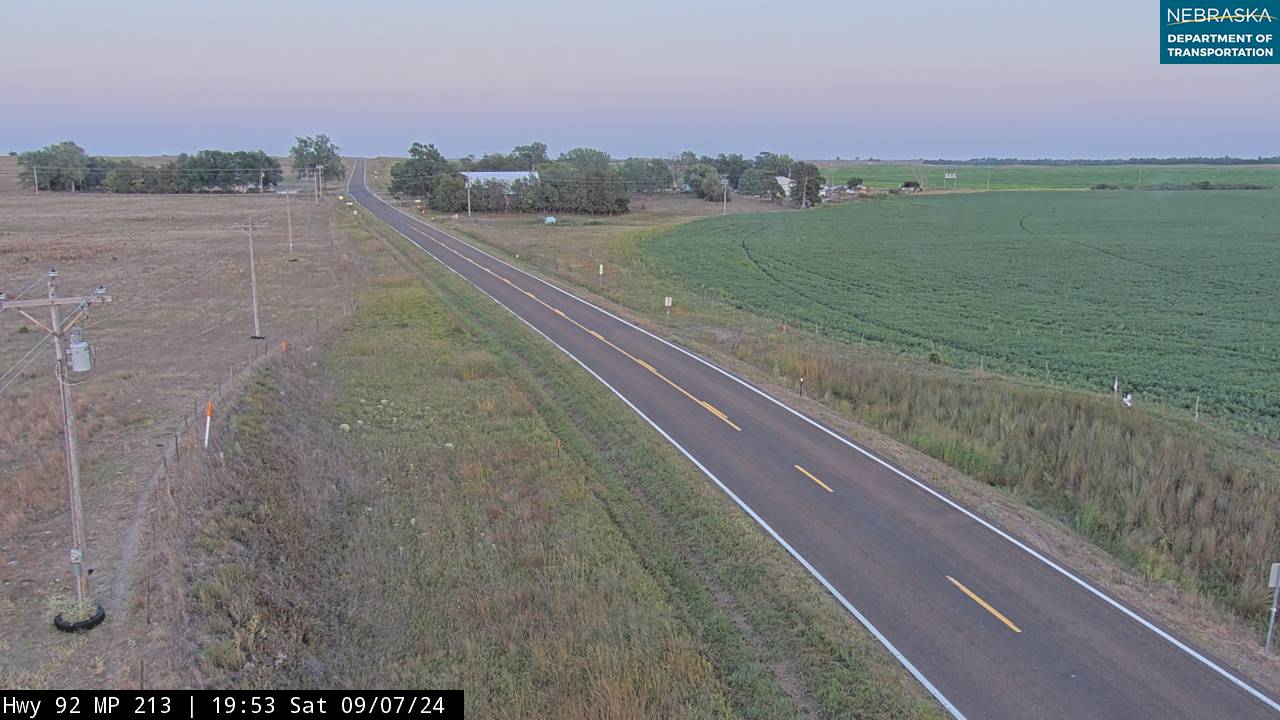
Live cameras. Images from Nebraska 511; click one to open it full size.
Morrill County on Highway 92
Chimney Rock, Bayard and Bridgeport.
On the road: Bayard · Bridgeport (US 385) · Broadwater · Morrill County page
Chimney Rock National Historic Site is about a mile and a half south of Highway 92 on Chimney Rock Road. The road joins US 26 at Bayard and follows it to Bridgeport, the county seat, then runs north with US 385 across the North Platte and turns east to Broadwater. Courthouse and Jail Rocks are about two miles south of Bridgeport on Nebraska 88.
History along the road. Chimney Rock, which rises about 286 feet above its surroundings, was one of the most famous landmarks on the Oregon Trail; it was designated a national historic site on August 9, 1956. Bayard, named for Bayard, Iowa, moved to its present site in 1900 to be on the Burlington. Bridgeport was founded in 1899 when the Burlington arrived and is named for a bridge over the North Platte; on February 12, 1899, it recorded 47 degrees below zero, still tied for the state's record low. The Battle of Rush Creek was fought in 1865 about four miles southeast of Broadwater.
Live cameras. Images from Nebraska 511; click one to open it full size.
Garden County on Highway 92
Lisco, Oshkosh and Lewellen.
On the road: Lisco · Oshkosh · Lewellen · Ash Hollow State Historical Park (5 miles south) · Garden County page
Highway 92 runs with US 26 along the north side of the North Platte through Lisco and Oshkosh, the county seat, where Nebraska 27 heads north, to Lewellen. There US 26 turns south toward Ash Hollow, about five miles away, and Highway 92 continues east along Lake McConaughy.
History along the road. At Ash Hollow, Oregon Trail wagons came down Windlass Hill to water and shade along the North Platte; the Battle of Ash Hollow was fought nearby in 1855. Lewellen, named for storekeeper Frank Lewellen, was platted in 1906 on the Union Pacific, and Lisco, named for cattleman Reuben Lisco, followed in 1909. Oshkosh, named for Oshkosh, Wisconsin, tied the state's record low of 47 below on December 22, 1989.
Live cameras. Images from Nebraska 511; click one to open it full size.

Keith County on Highway 92
Lake McConaughy's north shore and Lemoyne.
On the road: Lemoyne · Lake McConaughy State Recreation Area · Ogallala (south on NE 61) · Keith County page
East of Lewellen the road follows the north shore of Lake McConaughy, Nebraska's largest reservoir, about 22 miles long. At Lemoyne it turns north with Nebraska 61 into the Sandhills. Kingsley Dam, Lake Ogallala and the town of Ogallala are south on Nebraska 61.
History along the road. Kingsley Dam was built from 1936 to 1941, and the lake is named for C. W. McConaughy. Lemoyne began in 1911, when a Union Pacific branch was built across the land of Lemoyne Jacobs. The rising lake flooded the original town starting in 1941, and in the drought of 2004 its old foundations reappeared.
Live cameras. Images from Nebraska 511; click one to open it full size.
Arthur County on Highway 92
Arthur and the straw-bale church.
On the road: Arthur · Arthur County page
Highway 92 runs north with Nebraska 61 for about 25 miles, from Lemoyne to Arthur, the county seat and the county's only village, then turns east across the Sandhills.
History along the road. Arthur is named for President Chester A. Arthur. Its Pilgrim Holiness Church was built of straw bales in 1928. On the 1924 road map, the Upland Highway crossed the lower Sandhills through Arthur and Tryon, roughly along today's Highway 92.
Live cameras. Images from Nebraska 511; click one to open it full size.
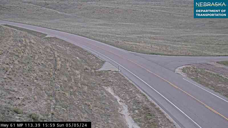
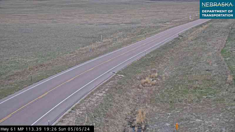
McPherson County on Highway 92
Tryon and the open Sandhills.
On the road: Tryon · McPherson County page
East of Arthur the road crosses open Sandhills ranch country past Bucktail to Tryon, the county seat, where it shares about four and a half miles with Nebraska 97, and on past Ringgold.
History along the road. Tryon was founded in 1890 under the name McPherson and renamed in 1892. It is the county seat even though it has never incorporated.
Live cameras. Images from Nebraska 511; click one to open it full size.


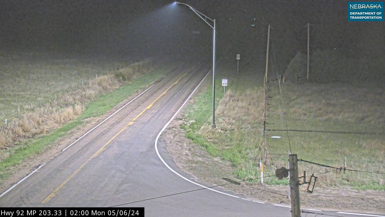
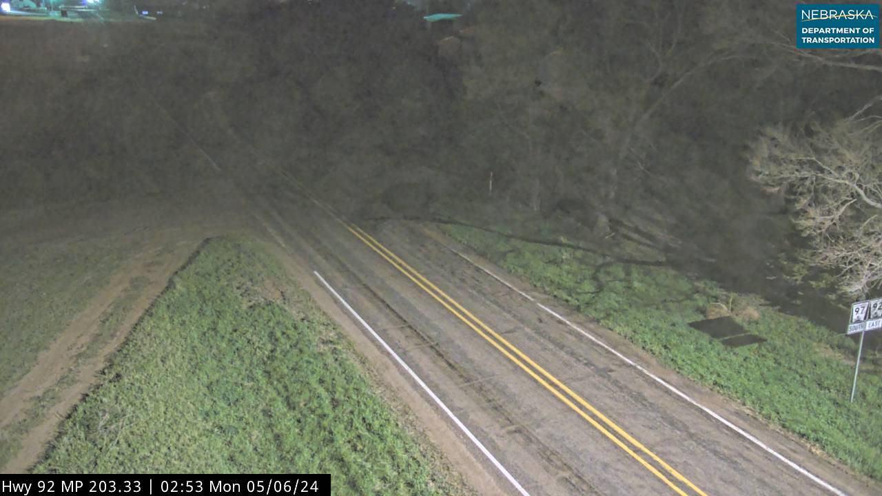

Logan County on Highway 92
Stapleton.
On the road: Stapleton (US 83) · Gandy (just north) · Logan County page
Highway 92 reaches Stapleton, the county seat, and runs south with US 83 for four miles before turning east again.
History along the road. Stapleton began in 1912 at the end of a Union Pacific branch, which bypassed nearby Gandy. In 1929 Stapleton took the county seat from Gandy.
Custer County on Highway 92
Arnold, Merna, Broken Bow and Ansley.
On the road: Arnold · Merna · Broken Bow (NE 2) · Ansley (US 183) · Custer County page
Highway 92 passes Arnold, where Nebraska 40 begins and Arnold Lake is half a mile south. It runs east to Merna, then joins Nebraska 2 for about 26 miles through Broken Bow, the county seat, to Ansley, where it crosses US 183. Nebraska 21 and Nebraska 70 begin at Broken Bow.
History along the road. Broken Bow was platted in 1882 and named for a broken bow a settler found; the railroad arrived in 1884. The geographic center of Nebraska is about 10 miles southwest of town. Arnold, platted in 1883 and named for settler George Arnold, roughly quadrupled in size after the railroad arrived in 1912. Merna is named for the first postmaster's daughter, and Ansley was founded in 1886 on the Burlington & Missouri River Railroad.
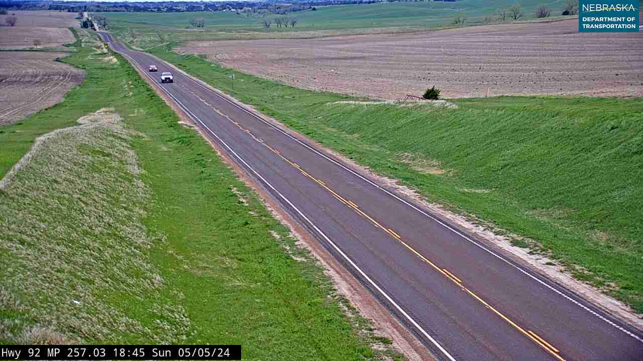
Live cameras. Images from Nebraska 511; click one to open it full size.
Sherman County on Highway 92
Loup City and Ashton.
On the road: Loup City · Ashton · Sherman County page
The road reaches the Middle Loup valley at Loup City, the county seat, where it shares about three miles with Nebraska 58. Sherman Reservoir State Recreation Area is about four miles east and a mile north. Highway 92 continues east through Ashton.
History along the road. Loup City is named for the Loup River; in 1934 its poultry plant was the scene of labor unrest. Ashton was incorporated in 1889 and named for Ashton, Illinois. Sherman Dam was built in 1961.
Howard County on Highway 92
St. Paul and the Loup.
On the road: Farwell (just off) · St. Paul (US 281) · Howard County page
Highway 92 passes just south of Farwell and runs a little over two miles with US 281 through St. Paul, the county seat, then crosses the Loup River.
History along the road. St. Paul was founded in 1871 and named for its founders, James and Nicholas Paul. Baseball Hall of Famer Grover Cleveland Alexander retired there, and the town holds Grover Cleveland Alexander Days.
Merrick County on Highway 92
Palmer, Central City and the Platte.
On the road: Palmer (spur north) · Central City (NE 14) · Clarks (US 30) · Merrick County page
The road passes south of Palmer and north of Central City, the county seat, where it shares a mile with Nebraska 14. It meets US 30 at an interchange southwest of Clarks and crosses the Platte River.
History along the road. Highway 92 began here: in the late 1930s it started near Central City and ran east to Omaha. Clarks grew up on the Union Pacific main line in 1866, and the Lincoln Highway, the first coast-to-coast auto road, ran through Central City and Clarks along today's US 30.
Polk County on Highway 92
Osceola and Shelby.
On the road: Osceola (US 81) · Shelby · Polk County page
Highway 92 runs with US 81 for about 12 miles, through Osceola, the county seat, and east to Shelby. Nebraska 39 ends at Highway 92 a few miles west of Osceola.
History along the road. Osceola was organized in 1871 and named for Osceola, Iowa; the railroad reached it in 1879, and a fire in 1895 left only two buildings standing. Shelby was founded in 1880 on the same line and named for a railroad official. Nebraska's center of population is near Shelby.
Butler County on Highway 92
Rising City and David City.
On the road: Rising City · David City (NE 15, just north) · Brainard · Butler County page
The road continues east through Rising City and runs about a mile and a half with Nebraska 15 south of David City, the county seat, then heads east toward Brainard.
History along the road. Rising City was founded in 1878 on the Omaha & Republican Valley Railroad and named for town-site owners A. W. and S. W. Rising; CliffsNotes founder Cliff Hillegass was born there. Brainard dates from the same year and railroad.
Live cameras. Images from Nebraska 511; click one to open it full size.
Saunders County on Highway 92
Wahoo, Mead and Yutan.
On the road: Wahoo (US 77) · Mead (spur) · Yutan · Lake Wanahoo · Saunders County page
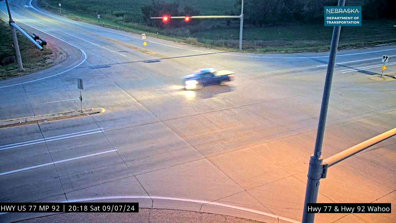
Highway 92 runs with Nebraska 79 for a mile between Valparaiso and Prague, then joins US 77 southwest of Wahoo, the county seat, and follows it through town to near Mead. Lake Wanahoo, opened in 2012, is a mile north of Wahoo. The road then passes the south edge of Yutan.
History along the road. Wahoo was founded in 1870; its name comes from the Dakota word for the wahoo shrub. Its hometown list includes baseball's "Wahoo Sam" Crawford, Nobel Prize winner George Beadle, composer Howard Hanson and film producer Darryl F. Zanuck. Yutan was platted in 1876 as Clear Creek and renamed in 1884 for Otoe chief Ietan. NDOT plans to widen about 16 miles of Highway 92, from US 77 near Mead east to US 275, to four lanes; construction could begin as early as 2032.
Live cameras. Images from Nebraska 511; click one to open it full size.
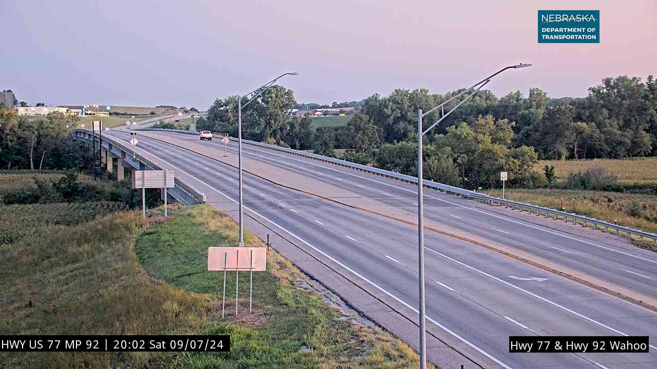
Douglas County on Highway 92
Into Omaha.
On the road: Waterloo (just north) · Omaha (US 275, US 6, I-80, US 75) · Douglas County page
Highway 92 crosses the Platte again, joins US 275 south of Waterloo and crosses the Elkhorn River. As a four-lane expressway it passes US 6 and Nebraska 31 and crosses Interstate 80, then follows West Center Road, Industrial Road, L Street and Missouri Avenue through Omaha to the South Omaha Veterans Memorial Bridge and into Iowa. Two Rivers State Recreation Area is near Waterloo.
History along the road. Omaha was founded in 1854 and named for the Omaha people. The first South Omaha bridge, a toll bridge built with New Deal funds, opened on January 18, 1936; its tolls ended in 1947, and the present bridge opened on May 28, 2010.
Live cameras. Images from Nebraska 511; click one to open it full size.

Nebraska Road Conditions & Highway 92 Travel Tips
Highway 92 is two lanes for most of its length, with long empty stretches in the Sandhills between Arthur and Broken Bow, so plan fuel stops. It becomes a four-lane expressway in Douglas County on the way into Omaha. Check current conditions before you travel, especially in winter.
RV Travel & Camping Along Highway 92
- Lake McConaughy State Recreation Area — north shore and south of Lemoyne
- Lake Ogallala State Recreation Area — below Kingsley Dam
- Arnold Lake Campground and Recreation Area — at Arnold
- Sherman Reservoir State Recreation Area — east of Loup City
- Lake Wanahoo NRD Recreation Area — north of Wahoo
- Two Rivers State Recreation Area — near Waterloo
Related Nebraska Travel Corridors
- Highway 71 — at Scottsbluff
- US Highway 83 — at Stapleton
- Highway 2 — Merna to Ansley
- US Highway 183 — at Ansley
- US Highway 281 — at St. Paul
- Highway 14 — at Central City
- US Highway 30 — near Clarks
- US Highway 81 — Osceola to Shelby
- Highway 15 — at David City
- US Highway 275, US Highway 6, Interstate 80 and US Highway 75 — in Omaha
- ← Explore All Nebraska Travel Corridors