
US Highway 6: Omaha to Colorado
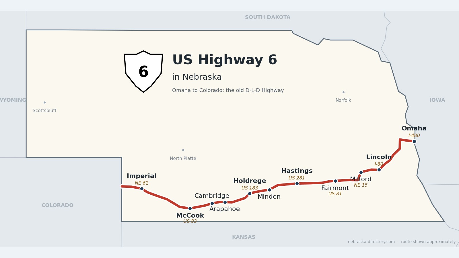
US Highway 6 runs 373 miles across southern Nebraska, from the Missouri River at Omaha to the Colorado line west of Imperial. It goes through Lincoln, the Burlington railroad towns of the Big Blue country, and Hastings; from Hastings west it shares the road with US 34 for about 140 miles, through Minden and Holdrege and down the Republican River valley to McCook and Culbertson, before turning northwest to Imperial.
Before it was 6.
This was one of Nebraska’s first long-distance auto roads. In 1911 the Omaha-Denver Transcontinental Route Association laid out the Omaha-Lincoln-Denver Highway—the “O-L-D”—and by 1914 it was one of the state’s three major highways, with the Lincoln and Meridian highways. In 1920 it became part of the Detroit-Lincoln-Denver, the “D-L-D,” about 1,700 miles through six states; a 1924 road map shows it running from Denver and Sterling through McCook, Hastings and Lincoln to Omaha.
When Nebraska put up its first numbered highway markers on June 5, 1926, this road was US 38. On June 8, 1931, national highway officials approved extending US 6 west to Greeley, Colorado, and it took over the US 38 route (some sources say 1932). In Omaha, Dodge Street became US 6 in the 1960s, after the I-480 bridge replaced the old Ak-Sar-Ben Bridge; I-480 opened on November 21, 1966. Nationally, US 6 is the Grand Army of the Republic Highway, a name promoted by the Sons of Union Veterans from 1934 and formally dedicated in 1953.
The Burlington railroad came first and built most of the towns. Its line started west from Plattsmouth in July 1869 and reached Lincoln in the summer of 1870. West of Lincoln, chief engineer Thomas Doane named the new stations in alphabetical order—Crete, Dorchester, Exeter, Fairmont, Grafton, Harvard, Inland, Juniata, Kenesaw and Lowell. The rails reached Arapahoe and Indianola in April 1880, McCook was platted as a division point in 1882, the first train came to Holdrege on December 10, 1883, and a branch reached Imperial on August 15, 1892.
Begin your journey on Dodge Street in Omaha and follow the old D-L-D southwest—through Lincoln and the alphabet towns, past Pioneer Village at Minden, down the Republican valley to McCook, and out across the high plains to Imperial.
Counties along US 6, east to west: Douglas · Saunders · Lancaster · Seward · Saline · Fillmore · Clay · Adams · Kearney · Phelps · Furnas · Red Willow · Hitchcock · Chase
Douglas and Sarpy Counties on US Highway 6
Omaha, Elkhorn and Gretna.
On the road: Omaha (I-480, I-680) · Elkhorn · Gretna · Douglas County page · Sarpy County page
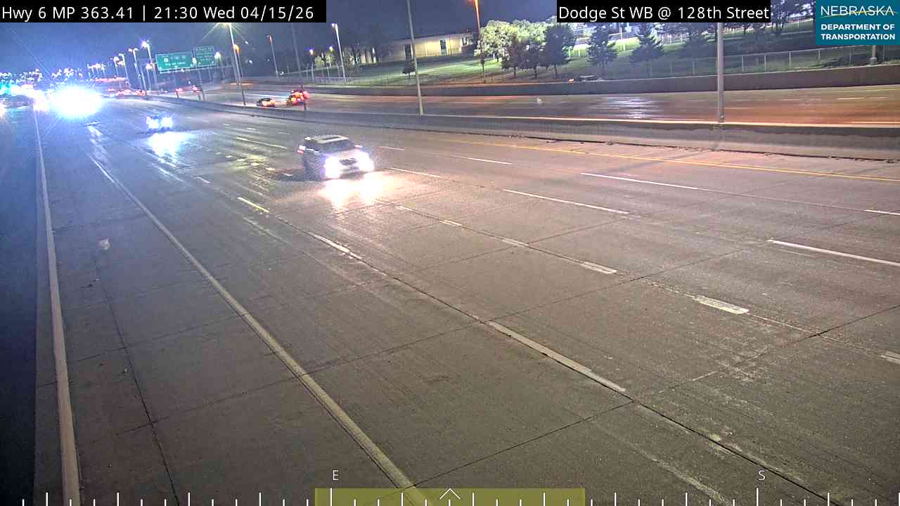
US 6 enters Nebraska on the I-480 bridge and heads west on Dodge Street (westbound) and Douglas Street (eastbound), then the West Dodge Expressway, which is elevated between 108th and 120th streets and meets I-680. At 204th Street in Elkhorn it turns south with Nebraska 31 to Gretna.
History along the road. Omaha was founded in 1854 and named for the Omaha people. Elkhorn, platted in 1867, is now part of Omaha. Gretna began in the summer of 1886 on the Burlington’s new Omaha–Ashland line and was probably named for Gretna Green in Scotland.
Live cameras. Images from Nebraska 511; click one to open it full size.

Saunders and Cass Counties on US Highway 6
Across the Platte to Ashland.
On the road: Ashland · Greenwood · Saunders County page · Cass County page
Southwest of Gretna the road crosses the Platte River and passes Ashland, then runs through Greenwood on its way to Lincoln.
History along the road. Linoma Beach, about four miles northeast of Ashland, opened as a roadside resort in 1924; its 100-foot lighthouse was added in 1939, and it went on the National Register in 2003. Ashland was founded in 1870 at a limestone ford on Salt Creek and named for Henry Clay’s estate. Greenwood, from about 1869, is named for pioneer Silas Greenwood.
Lancaster County on US Highway 6
Lincoln, the capital city.
On the road: Waverly (I-80) · Lincoln (US 77) · Emerald · Lancaster County page
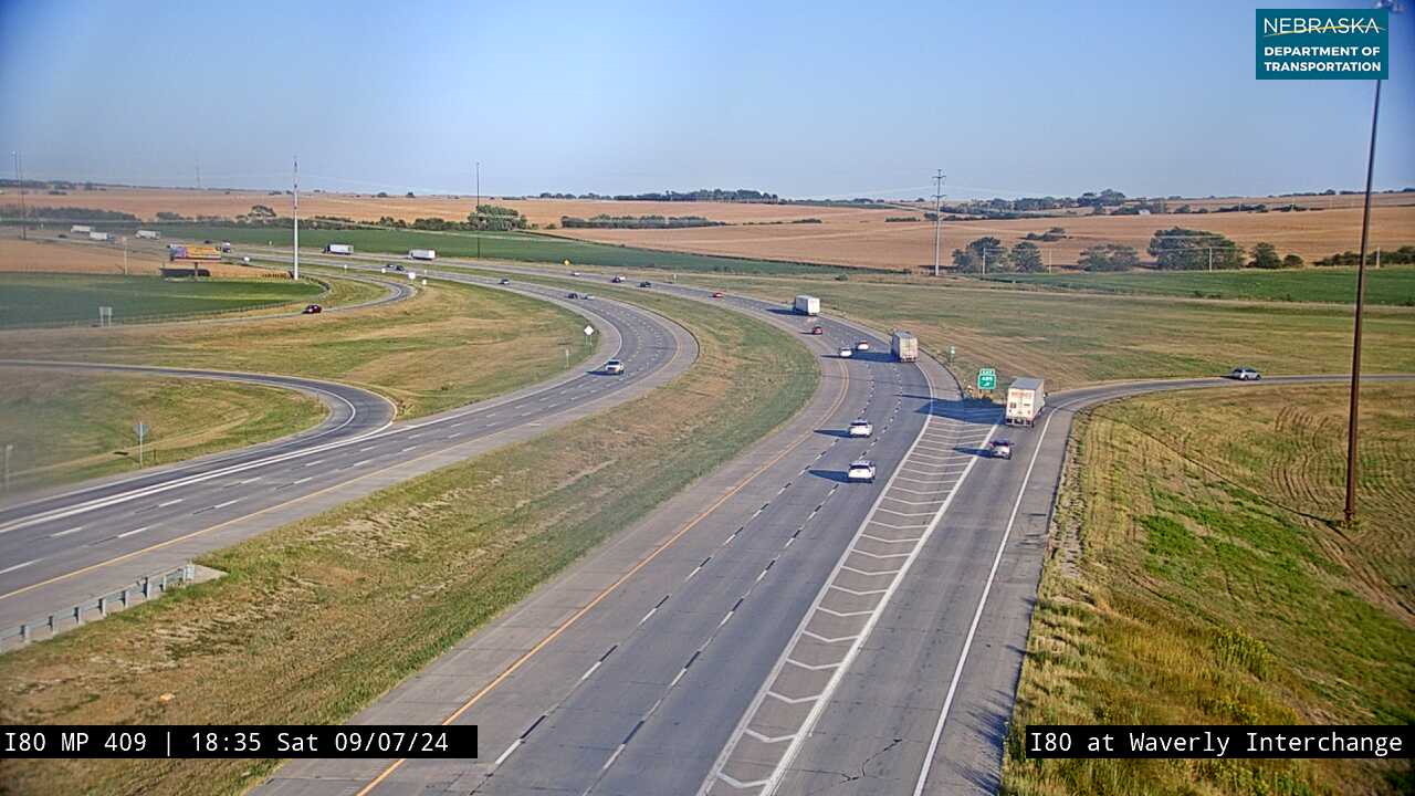
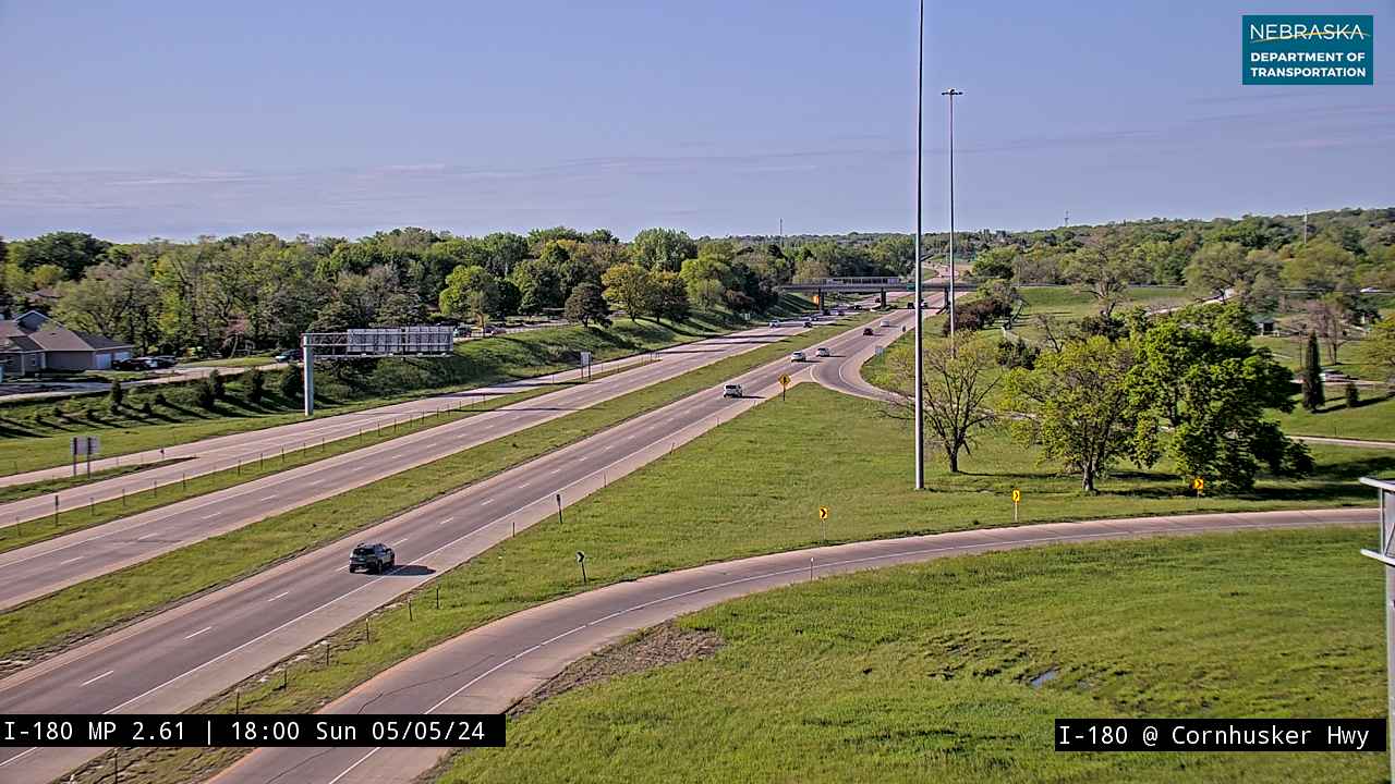
US 6 meets Interstate 80 at Waverly (exit 409) and follows Cornhusker Highway into Lincoln, then North 11th Street, Sun Valley Boulevard and West O Street out of town, west past Emerald.
History along the road. Lincoln began in 1856 as the village of Lancaster. In 1867 it was chosen as the site of the new capital and renamed for Abraham Lincoln—a name reportedly added by a senator who hoped it would sink the bill. The University of Nebraska was founded here in 1869, and the present Capitol was finished in 1932. Waverly, platted in 1870, is named for Sir Walter Scott’s novel Waverley.
Live cameras. Images from Nebraska 511; click one to open it full size.
Seward County on US Highway 6
Milford on the Big Blue.
On the road: Milford (Nebraska 15) · Seward County page
West of Lincoln the road reaches Milford, where Nebraska 15 joins it for about 11 miles south toward Dorchester.
History along the road. Milford was founded in 1866 and named for a mill at a ford on the Blue River. The Nebraska State Trade School opened here in 1941; it is now a Southeast Community College campus.
Saline County on US Highway 6
Dorchester and Friend, the first alphabet towns.
On the road: Dorchester · Friend · Saline County page
US 6 and Nebraska 15 run together to Dorchester, where 15 turns south; US 6 goes on west through Friend.
History along the road. Dorchester was platted in 1870, and the railroad reached it by July 4, 1871. Friend is named for homesteader Charles E. Friend, who first called his settlement Friendville; the railroad named its station Friend in 1873.
Fillmore County on US Highway 6
Exeter, Fairmont and Grafton.
On the road: Exeter · Fairmont (US 81) · Grafton · Fillmore County page
The road runs straight west through three of the Burlington’s alphabet towns, crossing US 81 at Fairmont.
History along the road. Exeter is named for Exeter, New Hampshire, and fit the railroad’s A-B-C naming; Fairmont was platted in 1871 and Grafton dates from 1874. Construction of Fairmont Army Air Field began on September 17, 1942; B-24s, B-17s and B-29s flew from its 1,980 acres, nearly 6,000 men served there, and it was declared surplus in 1946.
Clay County on US Highway 6
Sutton and the Naval Ammunition Depot.
On the road: Sutton · Harvard (just north) · Clay County page
US 6 passes through Sutton and runs a few miles south of Harvard, sharing a short stretch with Nebraska 14.
History along the road. Sutton was laid out in 1871 when the Burlington & Missouri River Railroad arrived and is named for Sutton, Massachusetts. The Naval Ammunition Depot, begun in July 1942 on almost 49,000 acres in Clay and Adams counties, at one point produced nearly 40 percent of the Navy’s ordnance; it closed in 1966.
Adams County on US Highway 6
Hastings, home of Kool-Aid.
On the road: Hastings (US 281) · Juniata (just north) · Kenesaw (just north) · Adams County page
At Hastings, the county seat, US 6 meets US 281 and US 34. From here west, US 6 and US 34 share the road for about 140 miles.
History along the road. Hastings was founded in 1872 and took the county seat from Juniata in 1878. Kool-Aid was created here in 1927 on West First Street; the Perkins company moved to Chicago in 1931. Juniata, the first county seat, is named for a river in Pennsylvania, and Kenesaw for the Civil War battle of Kennesaw Mountain.
Kearney County on US Highway 6
Minden and Pioneer Village.
On the road: Heartwell · Minden · Axtell · Kearney County page
US 6/34 turns southwest at Heartwell and runs through Minden, the county seat, and Axtell, where Nebraska 44 shares a few miles.
History along the road. Minden was founded in 1876 and named for Minden, Germany. It is home to Harold Warp’s Pioneer Village, and it holds Nebraska’s record high temperature: 118°F on July 24, 1936. Heartwell, from about 1883, is named for James B. Heartwell.
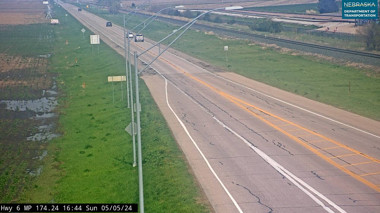
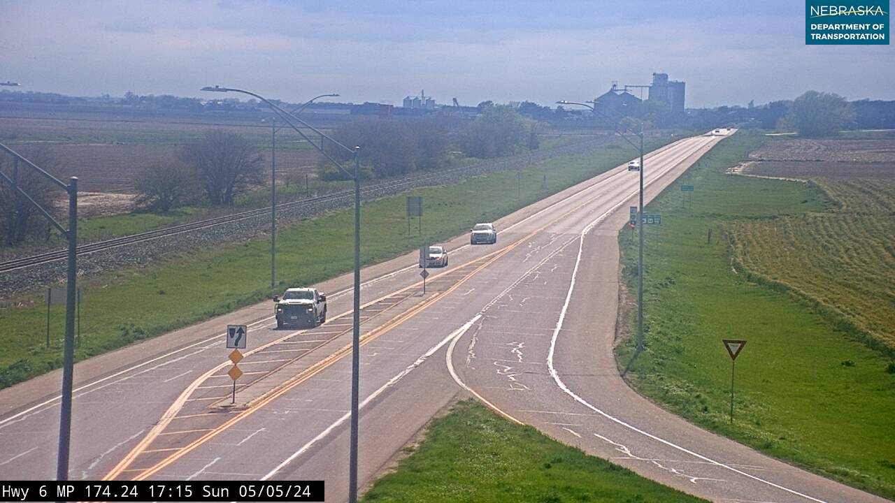
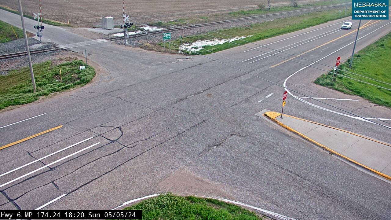
Live cameras. Images from Nebraska 511; click one to open it full size.
Phelps County on US Highway 6
Holdrege and Camp Atlanta.
On the road: Funk · Holdrege (US 183) · Atlanta · Phelps County page
The road passes Funk, crosses US 183 in Holdrege, the county seat, and heads southwest through Atlanta.
History along the road. Holdrege was established in 1883, named for Burlington general manager George W. Holdrege, and became county seat in 1884. Camp Atlanta held about 3,000 German prisoners of war from December 1943; the Nebraska Prairie Museum, a mile north of Holdrege on US 183, has a scale model of the camp.
Furnas County on US Highway 6
Arapahoe and Cambridge on the Republican.
On the road: Arapahoe (US 283) · Holbrook · Cambridge · Furnas County page
After clipping a corner of Harlan County near the Oxford turnoff, US 6/34 follows the Republican River west through Arapahoe, where it meets US 283, Holbrook and Cambridge.
History along the road. Arapahoe was founded in 1871 and named for the Arapaho people; the railroad reached it on April 2, 1880. Holbrook was first called Burton’s Bend. Cambridge began as “Pickletown” and took its present name when the Burlington arrived in 1880.
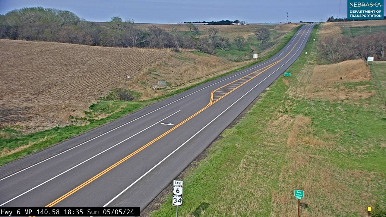
Live cameras. Images from Nebraska 511; click one to open it full size.
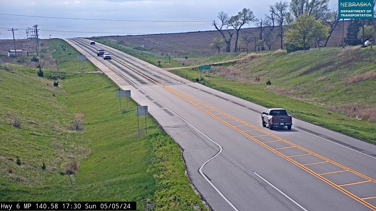
Red Willow County on US Highway 6
McCook and Senator Norris.
On the road: Bartley · Indianola · McCook (US 83) · Red Willow County page
US 6/34 runs up the Republican valley through Bartley and Indianola to McCook, where US 83 shares about a mile and a half.
History along the road. McCook was established in 1882 as a railroad center halfway between Denver and Omaha and named for Gen. Alexander McDowell McCook. Senator George W. Norris lived at 706 Norris Avenue from 1902 to 1944; the house is now a State Historic Site and a National Historic Landmark. Indianola, founded in 1873, was the first county seat until the railroad chose McCook for its division point.
Hitchcock County on US Highway 6
Culbertson, where US 34 turns off.
On the road: Culbertson · Palisade · Hitchcock County page
Just west of Culbertson, US 34 continues west toward Trenton and Benkelman while US 6 turns northwest to Palisade.
History along the road. Culbertson was founded in 1873, named for Indian agent Alexander Culbertson, and served as county seat for 20 years. Palisade, from 1882, is named for the palisade-like look of the land around it.
Live cameras. Images from Nebraska 511; click one to open it full size.
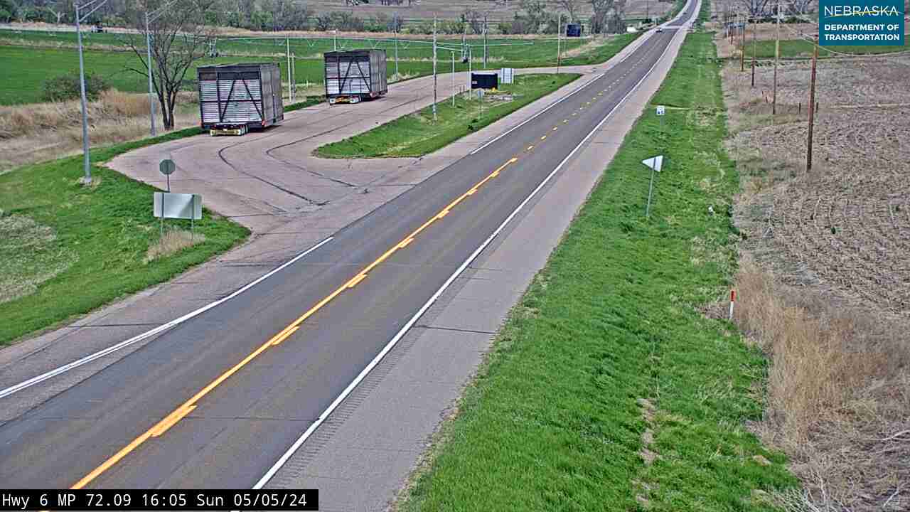
Chase County on US Highway 6
Wauneta, Enders and Imperial.
On the road: Wauneta · Enders (just off) · Imperial · Chase County page
After a short crossing of Hayes County, the road runs through Wauneta and past Enders Reservoir, joins Nebraska 61 into Imperial, the county seat, and heads west past Lamar to the Colorado line toward Holyoke.
History along the road. Wauneta was settled in 1875 at Wauneta Falls, which disappeared when Enders Reservoir was built in 1951. Imperial got its post office in 1885 and its railroad on August 15, 1892. Chase County is named for Omaha mayor Champion S. Chase and was organized in 1886. US 6 was moved two miles south of Lamar in the 1960s.
Live cameras. Images from Nebraska 511; click one to open it full size.
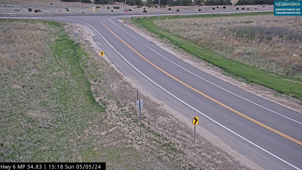

Nebraska Road Conditions & US-6 Travel Tips
East of Lincoln US 6 is a busy commuter road; west of Hastings it is a quiet two-lane highway with long gaps between towns. Check current conditions before you travel, especially in winter.
RV Travel & Camping Along US Highway 6
- Eugene T. Mahoney State Park — near Ashland
- Pawnee State Recreation Area — just west of Lincoln
- Medicine Creek State Recreation Area (Harry Strunk Lake) — north of Cambridge
- Red Willow State Recreation Area (Hugh Butler Lake) — north of McCook
- Enders Reservoir State Recreation Area — near Enders
Related Nebraska Travel Corridors
- Interstate 80 — at Omaha and Waverly
- US Highway 75 — in Omaha
- Highway 15 — Milford to Dorchester
- US Highway 81 — at Fairmont
- Highway 14 — in Clay County
- US Highway 281 — at Hastings
- Highway 44 — at Axtell
- US Highway 183 — at Holdrege
- US Highway 83 — at McCook
- ← Explore All Nebraska Travel Corridors