
Nebraska Highway 71: Kimball to Scottsbluff and Crawford
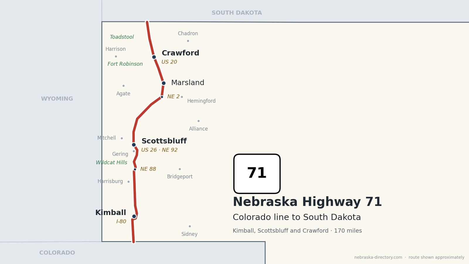
Nebraska Highway 71 runs about 170 miles up the Panhandle, from the Colorado line south of Kimball to the South Dakota line northwest of Crawford. It bypasses Kimball on the east, climbs over the Wildcat Hills, bypasses Gering, runs through Scottsbluff with US 26 and Nebraska 92, crosses the open ranch country of Sioux and Box Butte counties, joins Nebraska 2 through Marsland, and comes down into the Pine Ridge at Crawford. It is one continuous road through six counties. Between Kimball and Scottsbluff it is a four-lane stretch of the Heartland Expressway; south of Kimball and north of Scottsbluff it is mostly two lanes. The same number continues as Colorado 71 to the south and South Dakota 71 to the north, toward Hot Springs.
Before it was 71.
No named auto trail followed this road, but several crossed it. On Nebraska's 1924 list of named highways, the Lincoln Highway crossed at Kimball and the North Platte Valley Highway at Scottsbluff, and the Blue Pole Highway ran across the north along today's US 20. Older trails crossed it too: Oregon Trail wagons passed Scotts Bluff, and the Sidney–Black Hills Trail carried freight and stagecoaches north from the Union Pacific at Sidney to the Red Cloud Agency, Camp Robinson and the Black Hills in the late 1870s.
The Highway 71 number dates from the early 1960s; sources give 1962 or 1964. The Heartland Expressway four-lane came in pieces: the Harrisburg sections in 1994 and 1995, north of Kimball in 1997, south of Gering in 1999, the Gering–Scottsbluff bypass in October 2005, and the Kimball bypass in 2011.
The railroads made the towns. Kimball began about 1870 as Antelopeville on the Union Pacific, Gering was founded in 1887, Scottsbluff was laid out in 1899 by the Burlington's townsite company with tracks arriving in 1900, Marsland was founded on the Burlington in 1889, and Crawford was platted in 1886 when the Fremont, Elkhorn & Missouri Valley arrived.
Begin your journey at the Colorado line and head north: around Kimball, over the Wildcat Hills, through Scottsbluff below the bluff, across the high plains to Marsland, and down into the Pine Ridge country at Crawford.
Counties along Highway 71, south to north: Kimball · Banner · Scotts Bluff · Sioux · Box Butte · Dawes
Kimball County on Highway 71
Kimball, the High Point of Nebraska.
On the road: Kimball (I-80, US 30) · Bushnell (west) · Dix (east) · Plains Historical Museum · Kimball County page
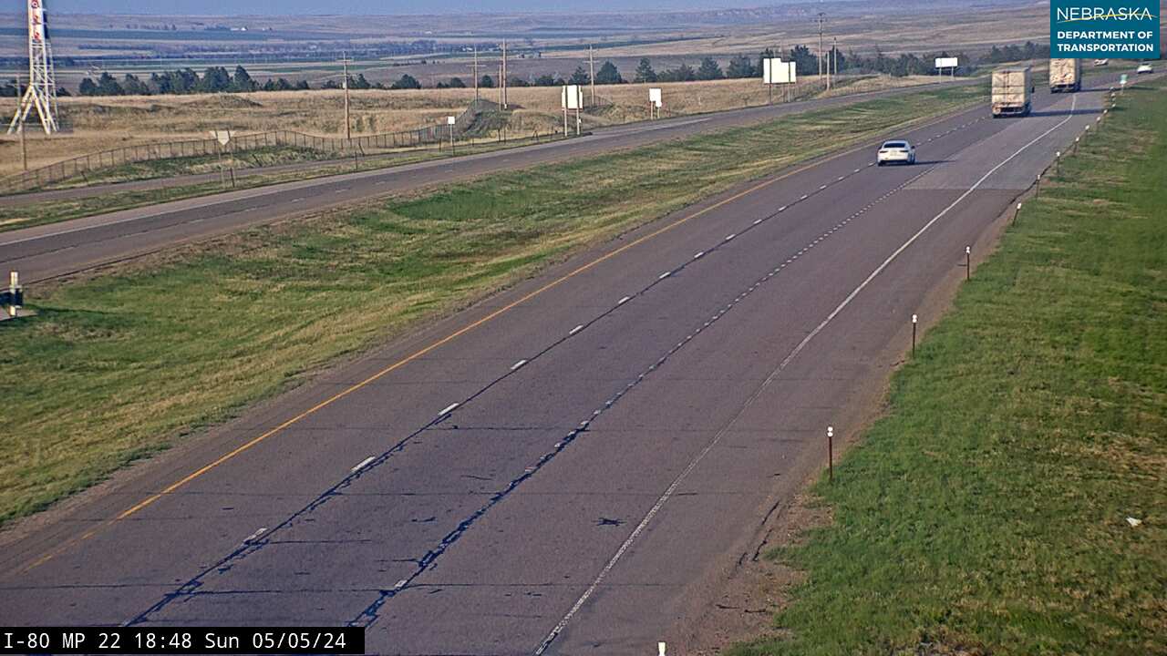
Highway 71 comes north from Colorado as a two-lane road, joins I-80 for about two miles between exits 20 and 22, and then bypasses Kimball on the east side; a short link road leads into town and to US 30, the old Lincoln Highway. Local officials have asked the state to widen the busy two-lane stretch south of I-80.
History along the road. Kimball began about 1870 as Antelopeville, a Union Pacific stop, and was renamed in 1885 for railroad official Thomas L. Kimball. It calls itself the High Point of Nebraska: Panorama Point, the highest spot in the state at about 5,424 feet, is about 33 miles southwest by county roads, reached through the High Point Bison Ranch. The Plains Historical Museum, at 200 S. Chestnut, is open in summer.
Live cameras. Images from Nebraska 511; click one to open it full size.
Banner County on Highway 71
Harrisburg and the climb to the Wildcat Hills.
On the road: Harrisburg (west on a spur) · Banner County Museum (Harrisburg) · Banner County page
In Banner County the road is a four-lane expressway across open ranch country. A spur leads about four miles west to Harrisburg, the county seat, and Highway 71 then shares about four miles with Nebraska 88 before climbing into the Wildcat Hills.
History along the road. Banner County has no incorporated towns; Harrisburg, its county seat, had 99 people in 2020. The Banner County Museum in Harrisburg opens Sunday afternoons in summer. The Harrisburg sections, finished in 1994 and 1995, were the first parts of this road widened to four lanes.
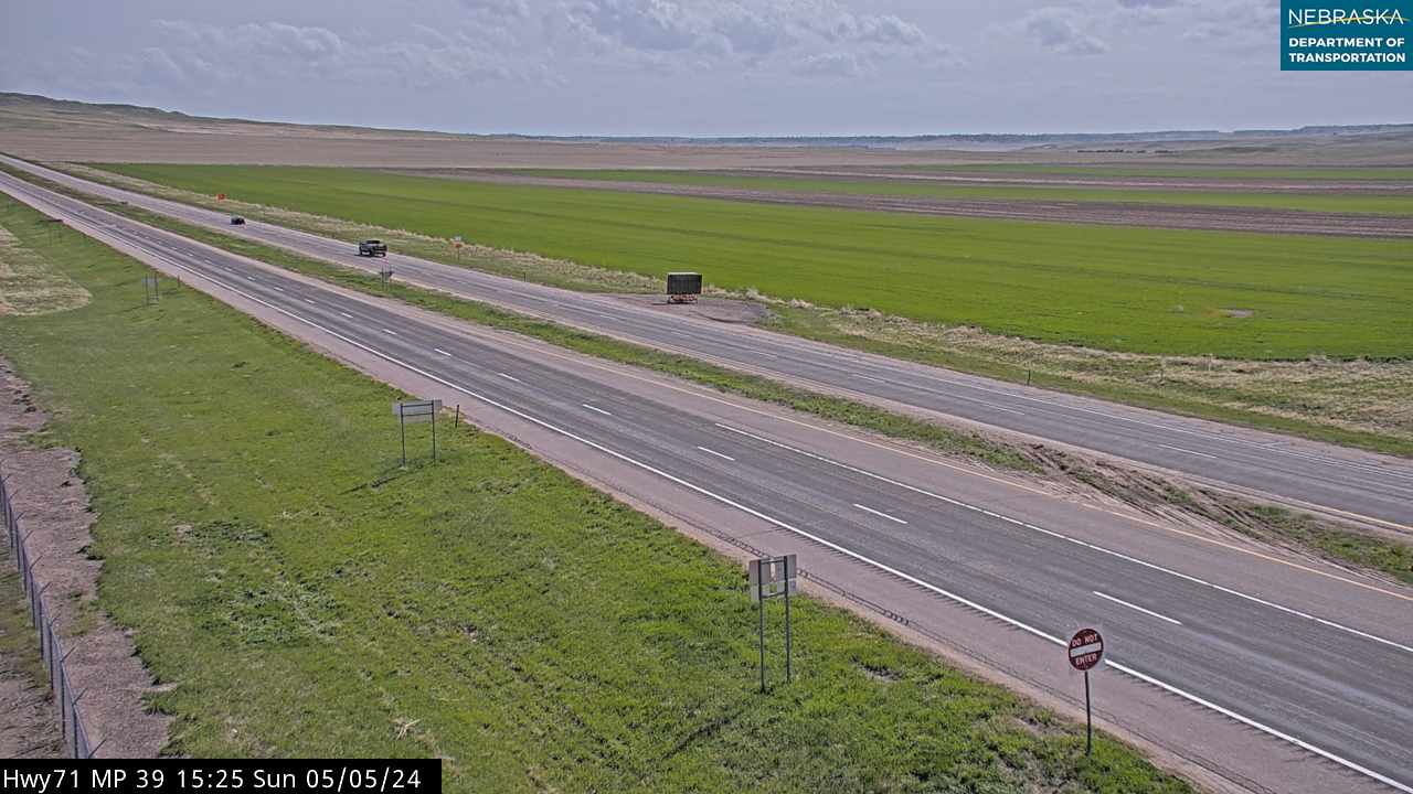
Live cameras. Images from Nebraska 511; click one to open it full size.
Scotts Bluff County on Highway 71
The Wildcat Hills, Gering and Scottsbluff.
On the road: Gering (bypassed) · Scottsbluff (US 26, NE 92) · Terrytown · Mitchell (west on US 26) · Minatare (east) · Wildcat Hills State Recreation Area · Scotts Bluff National Monument · Legacy of the Plains Museum · Lake Minatare State Recreation Area · Scotts Bluff County page
The road climbs through the Wildcat Hills past Wildcat Hills State Recreation Area and Nature Center, on the highway eight to ten miles south of Gering, where bighorn sheep live on the pine ridges. It swings northeast around Gering, picks up Nebraska 92 at an interchange east of town, adds US 26, and runs through Scottsbluff before turning north. Scotts Bluff National Monument is about four miles west of the Nebraska 92 exit, through Gering, and the Legacy of the Plains Museum is on the same road at 2930 Old Oregon Trail. Chimney Rock is about 19 miles east of Gering on Nebraska 92, and the Riverside Discovery Center zoo is in Scottsbluff.
History along the road. Gering was founded in 1887 and named for merchant Martin Gering. Scottsbluff was laid out in 1899 by the Lincoln Land Company, the Burlington's townsite company, and the tracks arrived in 1900; with 14,436 people in 2020 it is the largest city in the Panhandle. The bluff is named for fur trader Hiram Scott, and Oregon Trail wagons passed through Mitchell Pass beside it. Bighorn sheep are often struck on Highway 71 in the Wildcat Hills, at least 18 between 2009 and 2023, and NDOT and Game and Parks have studied building a wildlife crossing there.
Live cameras. Images from Nebraska 511; click one to open it full size.
Sioux County on Highway 71
Open ranch country.
On the road: Agate (west) · Harrison (west on US 20) · Agate Fossil Beds National Monument · Sioux County Historical Museum · Sioux County page
Highway 71 crosses the eastern edge of Sioux County without passing through a town. Agate Fossil Beds National Monument is to the west: the National Park Service's paved route is Nebraska 29 north from Mitchell, and from Highway 71 the Cut-Across Road, about seven miles of gravel, connects to the monument road.
History along the road. Agate Fossil Beds protects Miocene fossil beds, about 20 million years old, found on James Cook's Agate Springs Ranch, and its visitor center displays gifts given to the Cook family by Red Cloud and other Lakota friends.
Box Butte County on Highway 71
Where Highway 2 joins.
On the road: Hemingford (east on NE 2) · Alliance (southeast) · Box Butte Reservoir State Recreation Area · Box Butte County page
In Box Butte County, Nebraska 2 comes in from the east and joins Highway 71; the two run together the rest of the way to South Dakota. Hemingford is about 12 miles east on Nebraska 2, and Box Butte Reservoir State Recreation Area is about nine miles north of Hemingford.
History along the road. The Sidney–Black Hills Trail crossed this country in the late 1870s, carrying freight and passengers between the Union Pacific at Sidney and the Red Cloud Agency, Camp Robinson and the Black Hills gold fields. A historical marker for the trail stands on Nebraska 2 about 12 miles west of Hemingford, near the Highway 71 junction.
Live cameras. Images from Nebraska 511; click one to open it full size.


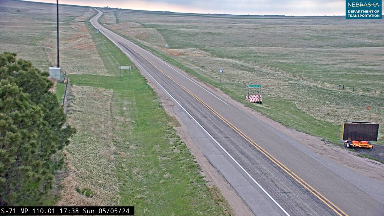
Dawes County on Highway 71
Marsland, Crawford and the Pine Ridge.
On the road: Marsland · Crawford (US 20) · Whitney (east) · Chadron (east on US 20) · Fort Robinson State Park · Trailside Museum · Oglala National Grassland · Hudson-Meng Education and Research Center · Dawes County page
Highway 71 and Nebraska 2 run north through Marsland, drop into the Pine Ridge and reach Crawford, where they share less than a mile with US 20. Fort Robinson State Park, with the Trailside Museum, is two to three miles west of town on US 20. North of Crawford the road crosses the Oglala National Grassland; four or five miles north of town, Toadstool Road leads west to Toadstool Geologic Park and on to the Hudson-Meng Education and Research Center, where some 600 bison died about 10,000 years ago. Hudson-Meng is open Fridays in summer.
History along the road. Marsland was founded in 1889 on the Burlington and named for freight manager Thomas Marsland; it boomed while the railroad's Belmont Tunnel was built nearby, and little of the town remains. Crawford was platted in 1886 and named for Capt. Emmet Crawford, who had served at Fort Robinson; it reached 2,536 people in 1910 and had 840 in 2020. Fort Robinson, where Crazy Horse was killed in 1877, is now a state park of more than 22,000 acres.
Live cameras. Images from Nebraska 511; click one to open it full size.
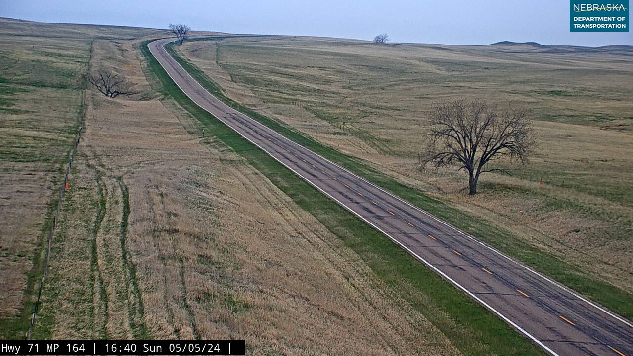
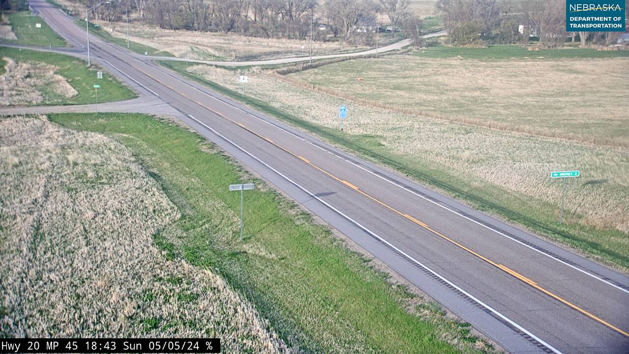
Nebraska Road Conditions & Highway 71 Travel Tips
Highway 71 is a four-lane expressway between Kimball and Scottsbluff and mostly two lanes elsewhere, with long stretches between towns north of Scottsbluff. Watch for bighorn sheep and deer in the Wildcat Hills. Check current conditions before you travel, especially in winter, when wind and snow can close Panhandle roads.
RV Travel & Camping Along Highway 71
- Stahla's North RV Park — in Kimball
- Oliver Reservoir Campground — 8 miles west of Kimball on US 30
- Wildcat Hills State Recreation Area — on the highway south of Gering
- Robidoux RV Park — Gering
- Lake Minatare State Recreation Area — northeast of Scottsbluff
- Box Butte Reservoir State Recreation Area — north of Hemingford
- Crawford City Park — in Crawford
- Fort Robinson State Park — west of Crawford
Related Nebraska Travel Corridors
- Interstate 80 and US Highway 30 — at Kimball
- Highway 92 — at Gering and Scottsbluff
- Highway 2 — from Box Butte County to South Dakota
- US Highway 20 — at Crawford
- ← Explore All Nebraska Travel Corridors