
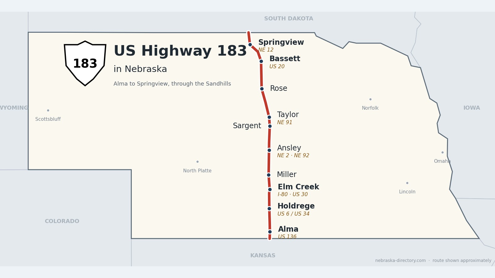
US Highway 183: Alma to Springview
US Highway 183 runs about 220 miles north through the middle of Nebraska, from the Kansas line south of Alma to the South Dakota line north of Springview. It crosses Harlan County Lake, goes through Holdrege, crosses the Platte and Interstate 80 near Elm Creek, then climbs through Custer County into the Sandhills—past Ansley, Sargent and Taylor—to Bassett and across the Niobrara River.
Before it was 183.
On a 1924 Nebraska road map, the North and South Pike ran from Franklin north through Kearney, Taylor and Bassett—the same line this road follows through the Sandhills. When US 83 was extended south in the early 1930s, it came down this corridor. Nebraska wanted a second route through McCook and North Platte, so US 183 was created about 1930 on that western line. In the early 1940s (one source says 1941) the two numbers traded places: US 83 took the McCook–North Platte–Valentine road, and US 183 took this one.
Much of the Sandhills stretch stayed gravel for decades. When about 20 miles in Loup County were paved in 1967, US 183 became the last US highway in the country to be fully paved. The north end changed recently: for years US 183 ran west from Bassett with US 20 and turned north near Long Pine, because that road got the first two-lane Niobrara bridge in the 1960s. After decades of requests from Keya Paha County, the old numbers were restored, and on August 10, 2026, new signs went up. US 183 now runs straight north from Bassett to Springview, and the Long Pine road is Nebraska 7 again.
The railroads built most of the towns. The Union Pacific put a siding at Elm Creek in August 1866; the Burlington reached Alma on January 13, 1880, founded Holdrege in 1883 and Ansley in 1886; and Bassett grew up on the Fremont, Elkhorn & Missouri Valley line, now the Cowboy Trail. Taylor never got its railroad—its Pavillion Hotel was built in 1887 waiting for one.
Begin your journey at Harlan County Lake and head north—past the Oregon Trail markers near I-80, up through the farm towns of Custer County, and into the Sandhills to Taylor, Bassett and the Niobrara.
Counties along US 183, south to north: Harlan · Phelps · Buffalo · Custer · Loup · Rock · Keya Paha
Harlan County on US Highway 183
Alma and Harlan County Lake.
On the road: Alma (US 136) · Harlan County page
US 183 enters Nebraska south of Alma and crosses Harlan County Lake into Alma, the county seat, where it runs with US 136 for about two miles.
History along the road. Alma was founded in the spring of 1871 by Union Pacific workers from Cheyenne and reorganized in 1874; the Burlington arrived on January 13, 1880. The Republican River flood of 1935 killed about 100 people and wiped out Republican City. The Army Corps of Engineers built Harlan County Dam from 1946 to 1952, creating a 13,250-acre lake—the second largest in Nebraska.
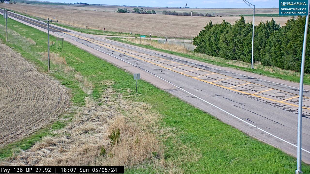
Live cameras. Images from Nebraska 511; click one to open it full size.
Phelps County on US Highway 183
Holdrege and the old trails.
On the road: Holdrege (US 6, US 34) · Phelps County page
US 183 crosses US 6 and US 34 on Burlington Street in Holdrege, the county seat, then runs north to Interstate 80 at exit 257 and the Platte River.
History along the road. Holdrege was founded in 1883 when the Burlington arrived and is named for George W. Holdrege, the railroad’s general manager. The Nebraska Prairie Museum, a mile north of town on US 183, is home to the National Sod House Society and has a scale model of Camp Atlanta, a World War II prisoner-of-war camp. Near I-80, markers on US 183 recall the Pony Express and the Oregon Trail, where as many as 800 wagons a day passed in the busiest years; the Plum Creek Massacre of August 7, 1864, happened a few miles west.
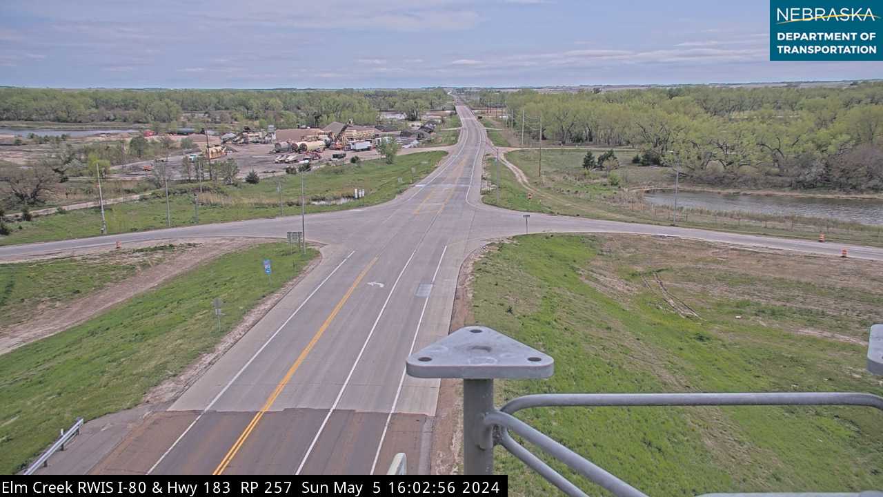
Live cameras. Images from Nebraska 511; click one to open it full size.
Buffalo County on US Highway 183
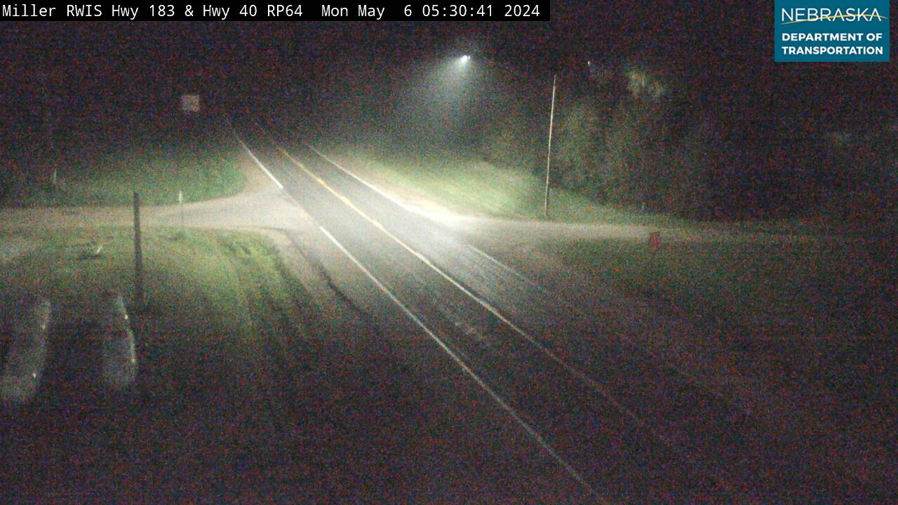
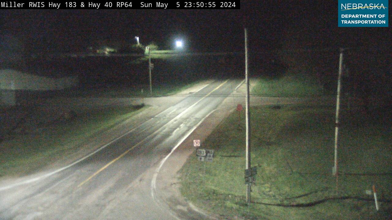
Elm Creek and Miller.
On the road: Elm Creek (I-80, US 30) · Miller · Buffalo County page
At Elm Creek US 183 meets US 30, the Lincoln Highway, then heads north through Miller toward Custer County.
History along the road. Elm Creek began as a Union Pacific siding in August 1866, while the railroad was being built. The village moved in 1883 to follow the depot, incorporated on January 12, 1887, and lost 14 Front Street buildings to fire in 1906. Miller was laid out in 1890 when the railroad came through.
Live cameras. Images from Nebraska 511; click one to open it full size.
Custer County on US Highway 183
Ansley, Westerville and Sargent.
On the road: Ansley (NE 2, NE 92) · Westerville · Sargent · Custer County page
At Ansley US 183 shares a few blocks with Nebraska 2 and 92, runs with Nebraska 70 for about a mile at Westerville, and passes through Sargent, close to the geographic center of Nebraska.
History along the road. Custer County was formed in 1877 and named for Gen. George A. Custer. Westerville, platted on August 11, 1880, was the first town in the county but faded after the railroad went through farther south in 1886. Ansley began that year on the Burlington & Missouri River line. Sargent’s name was chosen in 1879, and the railroad reached it in 1899.
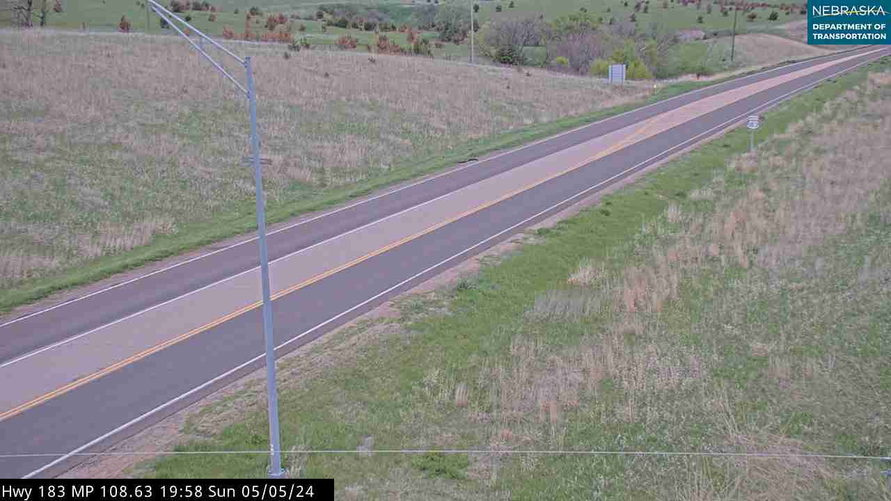
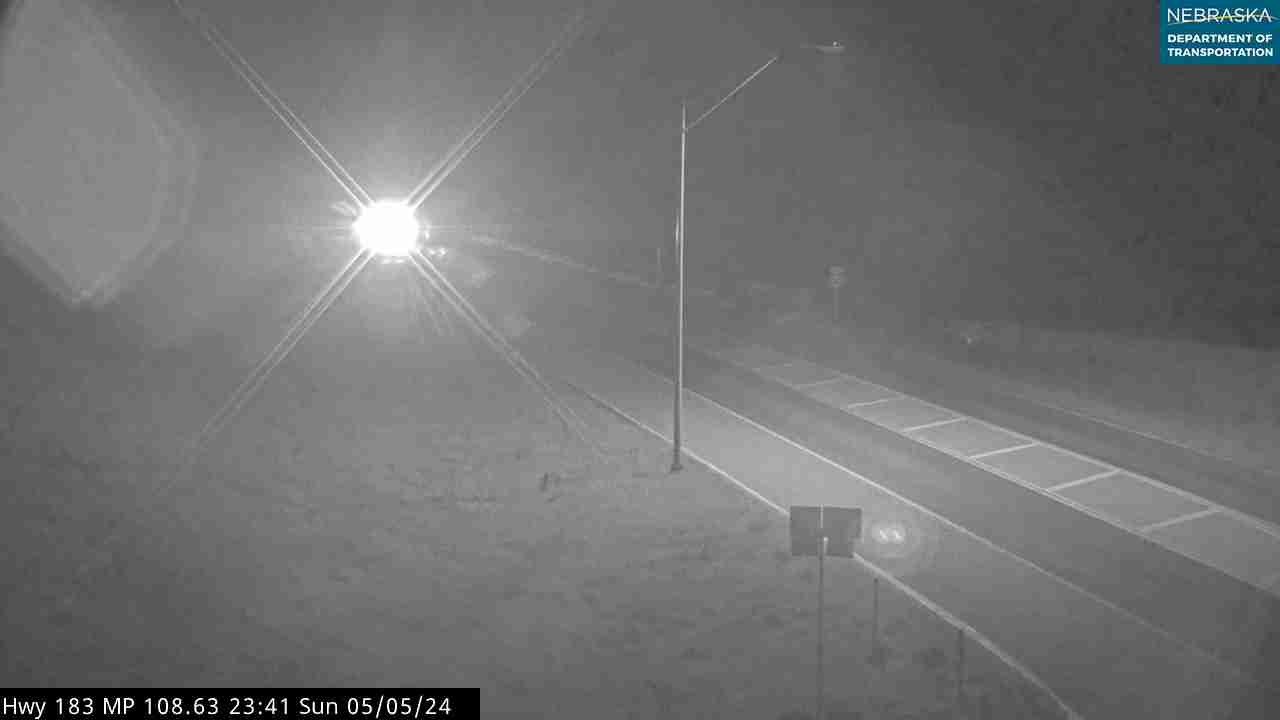
Live cameras. Images from Nebraska 511; click one to open it full size.
Loup County on US Highway 183
Taylor and the last paved miles.
On the road: Taylor (NE 91) · Loup County page
US 183 runs with Nebraska 91 for about a mile through Taylor, the county seat. Calamus Reservoir is a short drive east.
History along the road. Taylor won the county seat in 1883 by two votes over Almeria. The Pavillion Hotel, built in 1887 in hope of a railroad that never came, is on the National Register of Historic Places. The paving of about 20 miles of US 183 in Loup County in 1967 finished the last unpaved US highway in the country.
Live cameras. Images from Nebraska 511; click one to open it full size.

Rock County on US Highway 183
Bassett and the Niobrara.
On the road: Rose · Bassett (US 20) · Rock County page
The road passes Rose and reaches Bassett, the county seat, where it crosses US 20. Since August 2026 it continues straight north from Bassett and crosses the Niobrara River on the former Nebraska 7.
History along the road. Rock County was established on November 6, 1888; the Niobrara National Scenic River runs through it. Andrew N. “Captain” Bassett came up the Elkhorn valley in August 1878 and ranched on Long Pine Creek, and the town was platted in 1884 after the railroad was built. That line was abandoned in 1992 and is now the Cowboy Trail. Rose had a post office from 1905 to 1908, named for the wild roses.
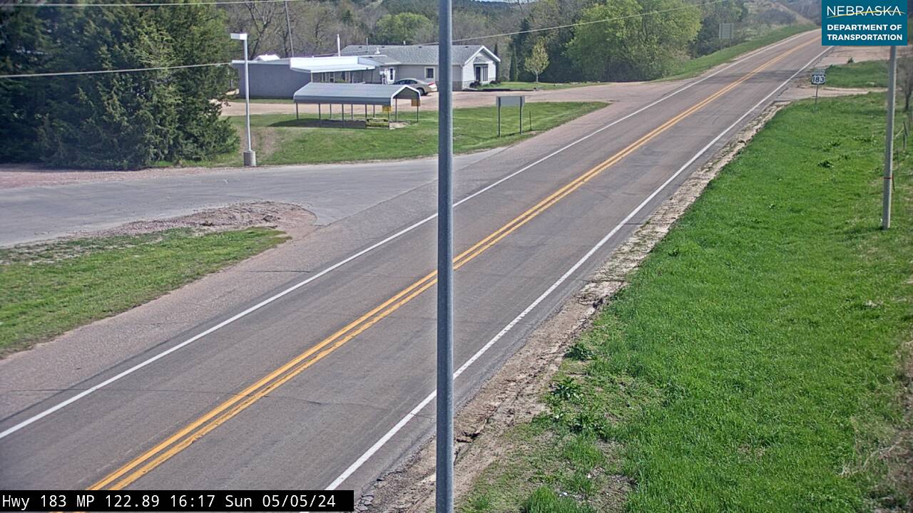
Live cameras. Images from Nebraska 511; click one to open it full size.
Keya Paha County on US Highway 183
Springview and the South Dakota line.
On the road: Springview (NE 12) · Keya Paha County page
US 183 reaches Springview, the county seat, shares about five miles with Nebraska 12, and then heads north into South Dakota.
History along the road. Keya Paha means “turtle hill” in the Dakota language; the county was formed in 1884–85. Springview, named for a spring, got its post office in July 1885 and won the county seat from Burton that year. No railroad ever reached it; the nearest line was about 20 miles south.
Live cameras. Images from Nebraska 511; click one to open it full size.
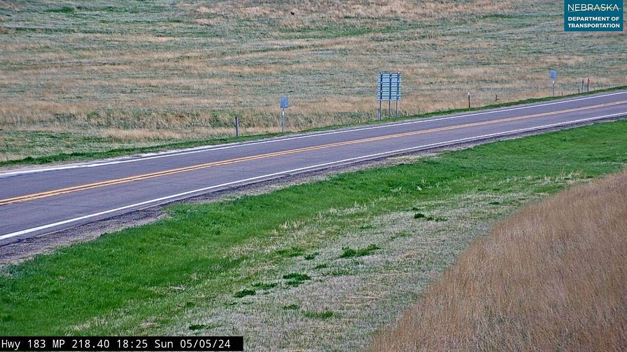
Nebraska Road Conditions & US-183 Travel Tips
US 183 is two lanes almost all the way, with long stretches between towns in the Sandhills. Fill up in Elm Creek or Ansley before heading north, and check current conditions before you travel, especially in winter.
RV Travel & Camping Along US Highway 183
- Harlan County Lake — at Alma
- Calamus State Recreation Area — east of Taylor
Related Nebraska Travel Corridors
- US Highway 136 — at Alma
- US Highway 6 — at Holdrege
- Interstate 80 and US Highway 30 — at Elm Creek
- Highway 2 and Highway 92 — at Ansley
- Highway 91 — at Taylor
- US Highway 20 — at Bassett
- Highway 12 — at Springview
- US Highway 83 — the route that traded numbers with US 183 in the 1940s
- ← Explore All Nebraska Travel Corridors