
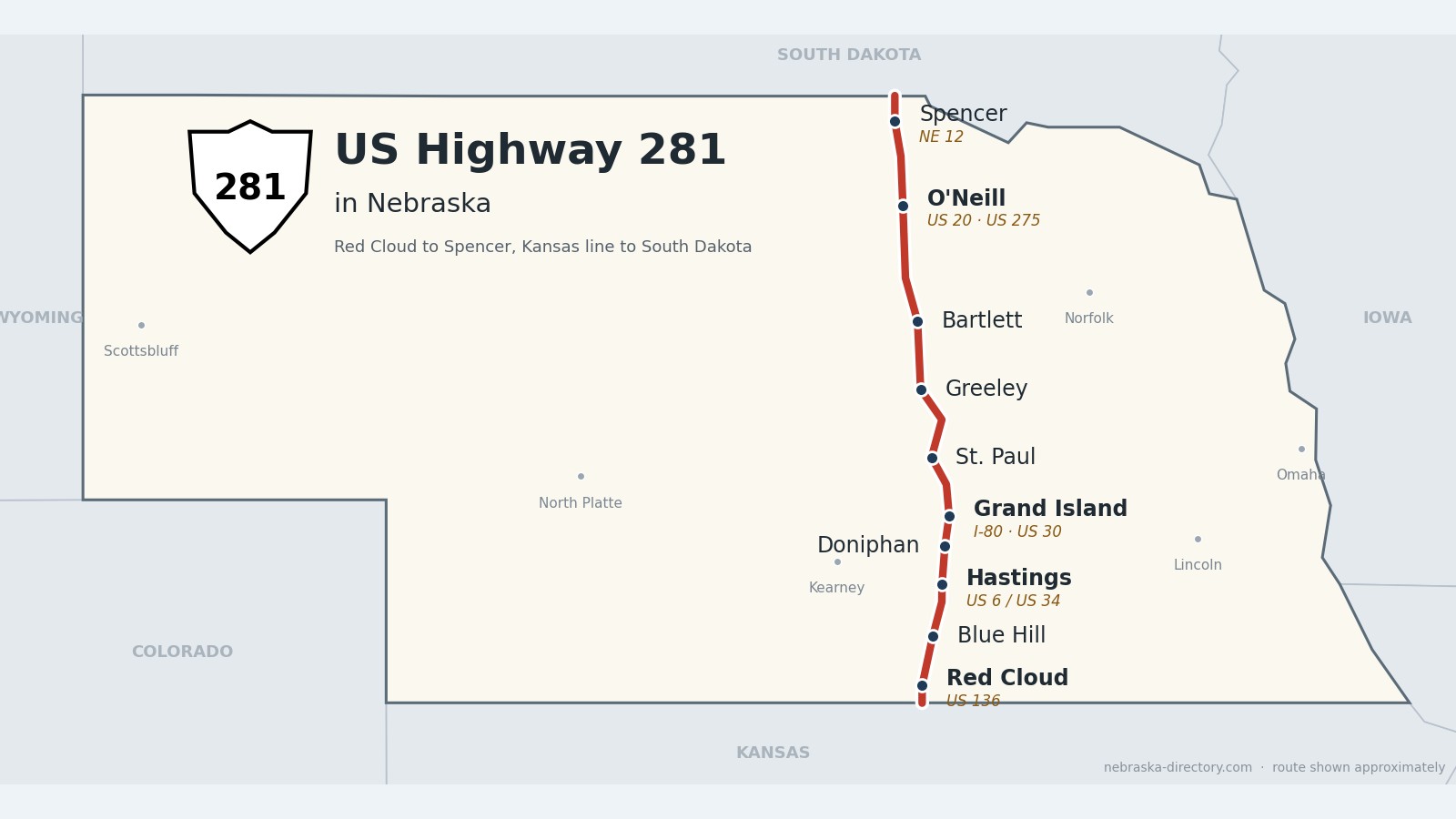
US Highway 281: Red Cloud to Spencer
US Highway 281 crosses central Nebraska from south to north for about 220 miles, from the Kansas line below Red Cloud to the South Dakota line above Spencer. It runs through Willa Cather’s hometown, Hastings and Grand Island, crosses the Platte, Interstate 80 and US 30, then heads north through St. Paul, Greeley and Bartlett to meet US 20 at O’Neill and cross the Niobrara river near Spencer.
Before it was 281.
No named auto trail ever followed this line. The trails of the 1910s and ’20s crossed it east to west instead—the Goldenrod Highway at Red Cloud, the Detroit-Lincoln-Denver at Hastings, the Lincoln Highway at Grand Island and the Blue Pole Highway at O’Neill. According to the state historical marker at O’Neill, every section of today’s road had been laid out in Nebraska by the mid-1920s; south of Grand Island it was state highway N-2. US 281 was created in 1932, and in 1933 the number was put on its whole length in Nebraska.
In 1929–30 a stretch beginning four miles south of O’Neill was a federal test of bituminous paving—oil mixed with sand and gravel—and that surface became the main type of paving in Nebraska until the 1950s. On March 30, 1960, the highway was dedicated as the national American Legion Memorial Highway; the name is still signed north of Grand Island.
The railroads came first and built the towns: the Union Pacific reached Grand Island in 1868, Hastings began in 1872 where two railroads crossed, Blue Hill (1878) and Doniphan (1879) were platted on new lines, and the Burlington reached Ericson in 1886 and Wolbach and Greeley in 1887.
Begin your journey at the Kansas line in Webster County, past the never-plowed Willa Cather Memorial Prairie, and follow the road north—through Hastings and Grand Island, across the Loup at St. Paul, through Irish colony country in Greeley and Holt counties, and over the Niobrara to Spencer.
Webster County on US Highway 281
Willa Cather’s Red Cloud.
On the road: Red Cloud (US 136) · Blue Hill (Nebraska 4) · Webster County page
US 281 enters Nebraska south of Red Cloud, the county seat, runs up Webster Street through town and crosses US 136. In the north of the county Nebraska 4 joins it for about four miles, splitting off south of Blue Hill.
History along the road. Red Cloud was founded in 1871 and named for the Oglala Lakota leader Red Cloud. Willa Cather moved here in 1883 at age nine and lived in town for seven years; the Willa Cather Historic District is the largest district dedicated to an author on the National Register. The National Willa Cather Center opened on June 3, 2017, in the restored 1887 Moon Block on Webster Street, and the 612-acre Willa Cather Memorial Prairie—native prairie that has never been plowed—lies five miles south of town on US 281. Blue Hill was platted in 1878 on the Burlington & Missouri River line.
Adams County on US Highway 281
Hastings, the home of Kool-Aid.
On the road: Ayr · Hastings (US 6, US 34) · Adams County page
Nebraska 74 runs with US 281 for a short stretch near Ayr. In Hastings, the county seat, US 281 follows Baltimore and Burlington Avenues and runs with US 6 and US 34 for about half a mile; north of town US 34 stays with it on the divided Tom Osborne Expressway, named for the Hastings native, all the way to Grand Island.
History along the road. Hastings began in 1872 where the Burlington & Missouri River Railroad met the St. Joseph & Denver City. Edwin Perkins invented Kool-Aid here in 1927, and the city celebrates with Kool-Aid Days each August. The Naval Ammunition Depot, set up on June 10, 1942, “halfway between the Atlantic and Pacific coasts,” supplied 40 percent of the Navy’s ammunition during World War II.
Hall County on US Highway 281
Grand Island, where 281 crosses the Platte road.
On the road: Doniphan · Grand Island (I-80, US 30, Nebraska 2) · Hall County page
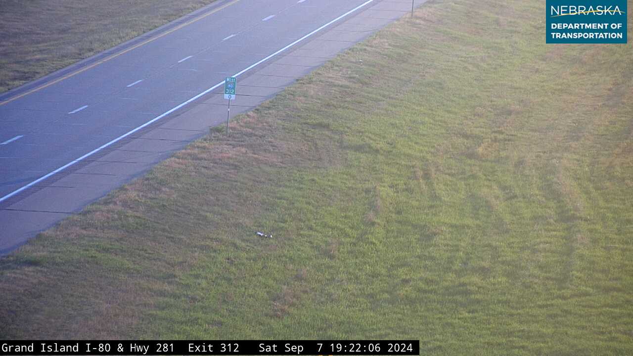
US 281 and US 34 run together for about 23 miles from Hastings past Doniphan to Grand Island. At Grand Island US 281 crosses Interstate 80 at exit 312, leaves US 34 and crosses US 30; Nebraska 2 runs with it along the city’s west side. From Grand Island north to St. Libory it is signed the American Legion Memorial Highway. Each spring, sandhill cranes gather on the Platte just south of the city.
History along the road. Doniphan was platted in 1879 on the St. Joseph & Western line and named for Col. John Doniphan, a railroad attorney from St. Joseph, Missouri. Grand Island was founded on July 4, 1857, by 35 German settlers from Davenport, Iowa, and the Union Pacific arrived in 1868. The Stuhr Museum’s Railroad Town recreates an 1890s prairie railroad town.
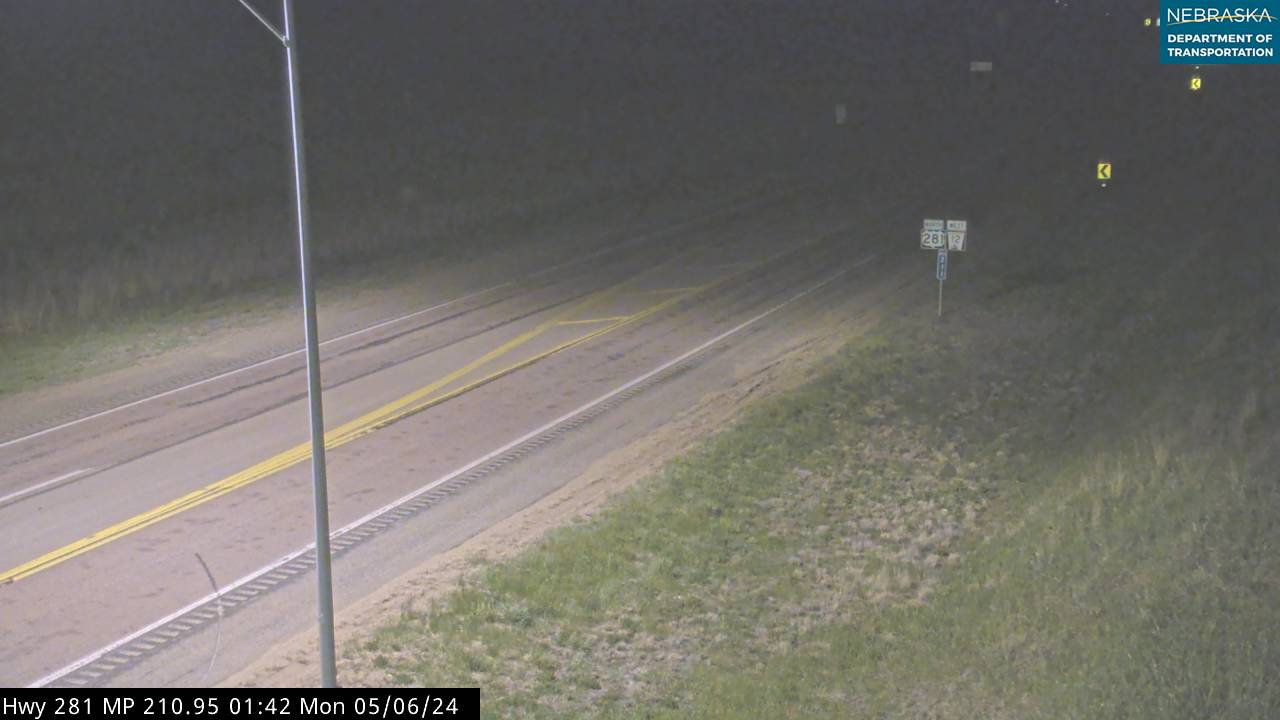
Live cameras. Images from Nebraska 511; click one to open it full size.
Howard County on US Highway 281
St. Paul and the Loup.
On the road: St. Libory · St. Paul (Nebraska 92) · Howard County page
North of Grand Island the road passes St. Libory, where Nebraska 58 begins. Nebraska 92 then runs with US 281 for about 2.4 miles through St. Paul, the county seat, and across the Loup River.
History along the road. St. Libory took its name from St. Libory, Illinois; its post office opened in 1878, and the town grew when the Union Pacific extended its line here. St. Paul was founded in 1871 by the Paul brothers. Hall of Fame pitcher Grover Cleveland Alexander was born on a farm nearby and retired to St. Paul, which honors him with GCA Days each July.
Greeley County on US Highway 281
Irish colony country.
On the road: Wolbach · Greeley · Greeley County page
Nebraska 22 runs with US 281 for about eight miles, splitting off near Wolbach. Nebraska 56 begins just south of Greeley, the county seat, and Nebraska 91 joins the road for about six miles north into Wheeler County.
History along the road. The Burlington reached Wolbach and Greeley Center in 1887. Greeley was named for Horace Greeley and for its place near the middle of the county, and it became the county seat in 1890, taking over from Scotia. An 1880 pamphlet called Greeley County the first colony bought by the Irish Catholic Colonization Association, and Gen. John O’Neill started an Irish settlement here too.
Wheeler County on US Highway 281
Nebraska’s smallest county by population.
On the road: Bartlett · Ericson (just west) · Wheeler County page
East of Ericson, Nebraska 70 joins US 281 for about 14 miles, passing through Bartlett, the county seat. Towns are far apart from here north; fill up when you can.
History along the road. Wheeler County had just 774 people in 2020, the fewest of any Nebraska county. The county seat moved to Bartlett in 1885 by a vote of 193 to 90; the town is named for Ezra Bartlett Mitchell and had 109 residents in 2020. A Burlington spur reached the county in 1886 and created Ericson.
Live cameras. Images from Nebraska 511; click one to open it full size.

Holt County on US Highway 281
O’Neill, the Irish capital of Nebraska.
On the road: Chambers (to the west) · O’Neill (US 20, US 275) · Holt County page
Nebraska 95 ends at US 281 east of Chambers. At O’Neill, the county seat, US 281 briefly runs with US 20 on Harrison and 4th Streets, and US 275 begins on 4th Street.
History along the road. O’Neill was founded in 1874 by Gen. John O’Neill, an Irish-born Civil War veteran who led three Fenian raids into Canada, and in 1969 the governor proclaimed it the Irish Capital of Nebraska; a historical marker stands at the Holt County Courthouse. The 1929–30 paving test that shaped Nebraska’s roads for decades was on US 281 just south of town.
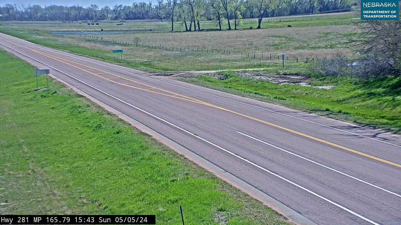
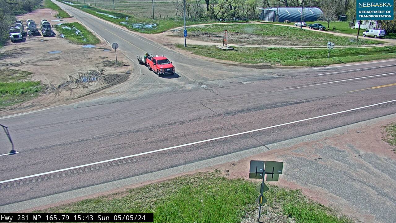
Live cameras. Images from Nebraska 511; click one to open it full size.
Boyd County on US Highway 281
Across the Niobrara to South Dakota.
On the road: Spencer (Nebraska 12) · Boyd County page
North of O’Neill US 281 crosses the Niobrara River into Boyd County, runs with Nebraska 12 for about 3.6 miles at Spencer, and then leaves Nebraska for South Dakota.
History along the road. Boyd County was created on August 1, 1891, and named for Gov. James E. Boyd; its land had come to Nebraska from Dakota Territory in 1882. Spencer was founded in 1891. Spencer Dam, built in 1927 on the Niobrara about five miles southeast of town, failed on March 14, 2019, and the flood washed out part of US 281.
Live cameras. Images from Nebraska 511; click one to open it full size.


Nebraska Road Conditions & US-281 Travel Tips
US 281 is a divided highway between Hastings and Grand Island and mostly two lanes elsewhere. North of St. Paul the towns are farther apart, so plan fuel stops. Check current conditions before you travel, especially in winter.
RV Travel & Camping Along US Highway 281
- Crystal Lake Recreation Area — at Ayr, south of Hastings
- Mormon Island State Recreation Area — on US 281 at I-80 exit 312, south of Grand Island
- Pibel Lake Recreation Area — near Bartlett (primitive camping)
Related Nebraska Travel Corridors
- US Highway 136 — at Red Cloud
- Highway 4 — near Blue Hill
- US Highway 6 — at Hastings
- Interstate 80 and US Highway 30 — at Grand Island
- Highway 2 — at Grand Island
- Highway 92 — at St. Paul
- Highway 91 — near Greeley
- US Highway 20 and US Highway 275 — at O’Neill
- Highway 12 — at Spencer
- ← Explore All Nebraska Travel Corridors