
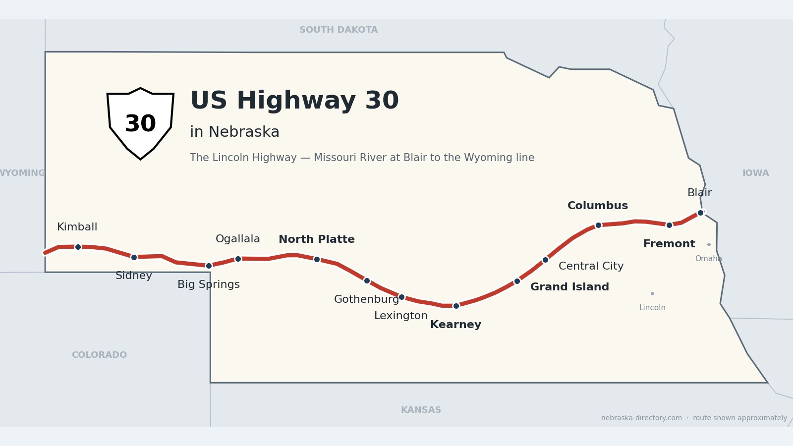
US Highway 30: The Lincoln Highway
US Highway 30 crosses Nebraska for about 450 miles, from the Missouri River at Blair to the Wyoming line west of Bushnell. It follows the Platte valley and the Union Pacific main line through Fremont, Columbus, Grand Island, Kearney, North Platte and Ogallala, then Lodgepole Creek to Sidney and Kimball—the same line as the Lincoln Highway, America’s first coast-to-coast road.
Before it was 30.
The Lincoln Highway was dedicated on October 31, 1913; Central City had already become the first Nebraska town to ratify the highway’s proclamation, on October 8. The route followed the Great Platte River Road—the path of fur traders, overland emigrants and the Union Pacific—for about 450 miles across the state. Towns built concrete “seedling miles” to show what a paved road could be: Grand Island’s, finished in 1915, was the first in Nebraska, Kearney’s followed two weeks later, and Fremont laid six miles.
In 1919 an Army truck convoy crossed Nebraska on the Lincoln Highway, camping at Omaha, Columbus, Grand Island, Lexington, Gothenburg, North Platte, Ogallala, Big Springs and Kimball; a young officer named Dwight Eisenhower noted that the first real sand of the trip was met in Nebraska. The road became US 30 in 1926. After a toll-free Missouri River bridge opened at Blair, the Lincoln Highway was moved there in 1930, and in November 1935 a golden ribbon cut west of North Platte marked the end of paving on US 30 across the state.
Begin your journey on the Missouri River bridge at Blair and follow the Platte west—through the railroad towns of the east, past the seedling mile at Grand Island and the Pony Express station at Gothenburg, to North Platte and the cowboy capital at Ogallala, then up Lodgepole Creek to the Wyoming line. From Grand Island west, Interstate 80 runs close beside the old road.
Explore US Highway 30 by County
US Highway 30 crosses 13 Nebraska counties, east to west. Open a county page to see all of its towns and places.
Washington County on US Highway 30
Where the Lincoln Highway crosses the Missouri.
On the road: Blair (US 75) · Arlington · Washington County page
US 30 enters Nebraska from Iowa on the Missouri River bridge at Blair, the county seat, runs with US 75 through town, then heads southwest past Arlington toward Fremont.
History along the road. The first bridge at Blair opened in June 1929, and in 1930 the Lincoln Highway was moved off its original route through Omaha to cross here—a shortcut of about 30 miles. The bridge was replaced in 1991. Near Blair at DeSoto National Wildlife Refuge, the steamboat Bertrand, sunk on April 1, 1865, was excavated in 1967–69; about 200,000 of its artifacts are on display.
Dodge County on US Highway 30
Fremont and the six-mile “seedling mile.”
On the road: Fremont (US 77, US 275) · North Bend · Dodge County page
At Fremont, the county seat, US 30 meets US 77 and runs with US 275 around the city. This is where the original Lincoln Highway, coming out of Omaha, joins today’s route.
History along the road. Fremont was laid out in August 1856 and named for John C. Frémont, that year’s Republican presidential candidate. Its Lincoln Highway seedling “mile” was really six miles of concrete, paid for by a $5,000 gift from George Wolz—the longest in the country.
Colfax County on US Highway 30
Schuyler, Nebraska’s first cow town.
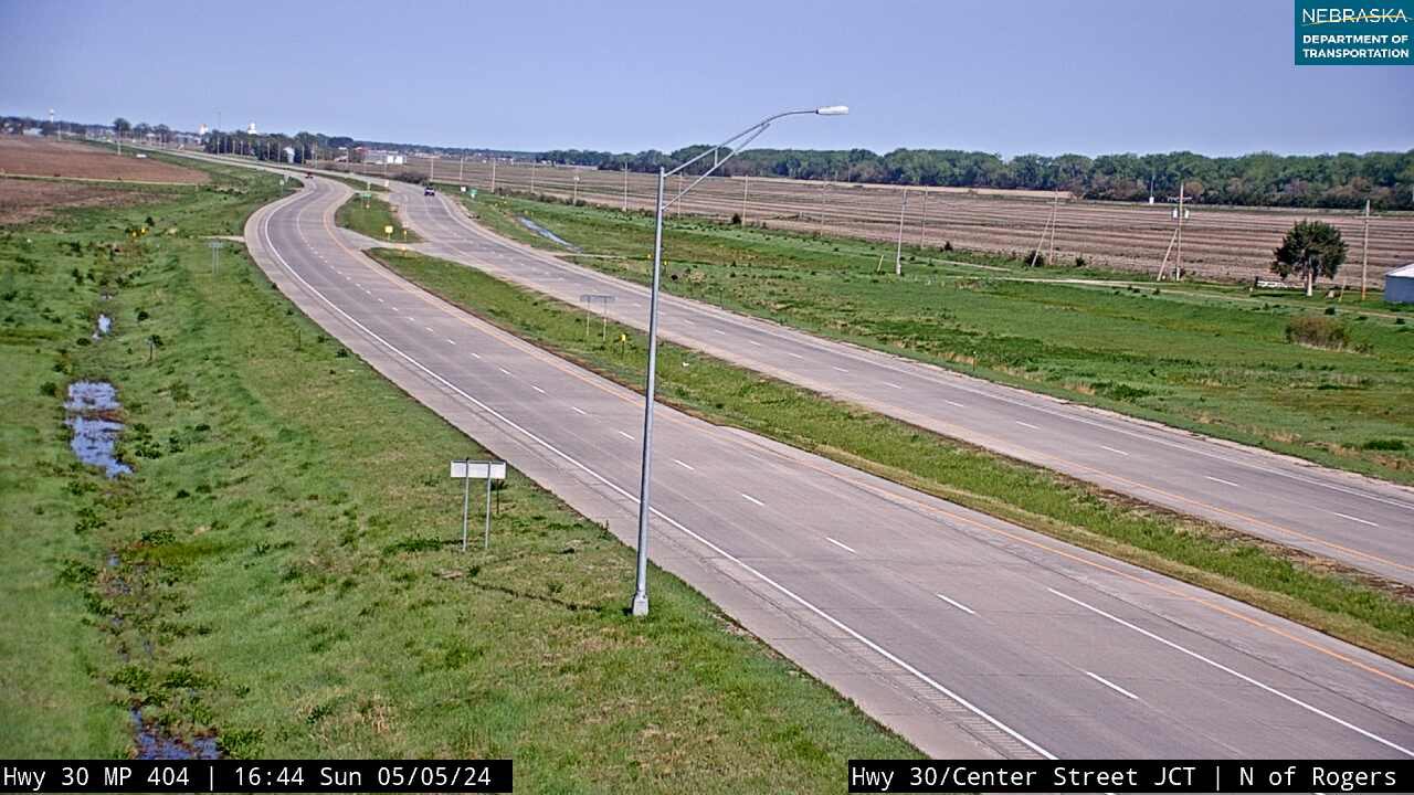
On the road: Rogers · Schuyler (Nebraska 15) · Colfax County page
West of North Bend the road follows the Platte and the Union Pacific through Rogers to Schuyler, the county seat.
History along the road. Schuyler, named for Vice President Schuyler Colfax, became a Union Pacific loading point for Texas cattle in 1870—Nebraska’s first “cow town.” Its Oak Ballroom, built by the WPA in 1937, is on the National Register of Historic Places.
Live cameras. Images from Nebraska 511; click one to open it full size.
Platte County on US Highway 30
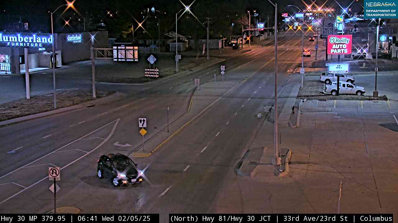
Columbus, where the Loup meets the Platte.
On the road: Columbus (US 81) · Duncan · Platte County page
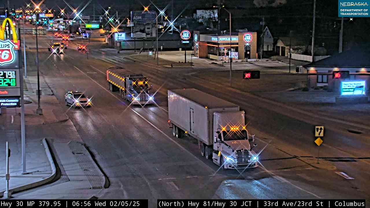
Columbus, the county seat, sits where the Loup River meets the Platte, and US 81 crosses US 30 in town.
History along the road. Columbus was founded on May 28, 1856, by settlers from Columbus, Ohio, and the 1919 Army convoy made its first camp west of Omaha here. Duncan, laid out as “Jackson” in 1871, took its present name in 1880.
Live cameras. Images from Nebraska 511; click one to open it full size.
Merrick County on US Highway 30
Central City, the old Lone Tree.
On the road: Silver Creek · Clarks · Central City · Chapman · Merrick County page
US 30 runs along the north side of the Platte through the county’s railroad towns; Central City is the county seat.
History along the road. Central City began in 1866 as “Lone Tree,” named for a cottonwood that guided travelers on the Mormon, Oregon and California trails, and took its present name in 1875. It was the first town in Nebraska to ratify the Lincoln Highway proclamation, on October 8, 1913.
Hall County on US Highway 30
Grand Island and the first seedling mile.
On the road: Grand Island (US 281) · Alda · Wood River · Hall County page
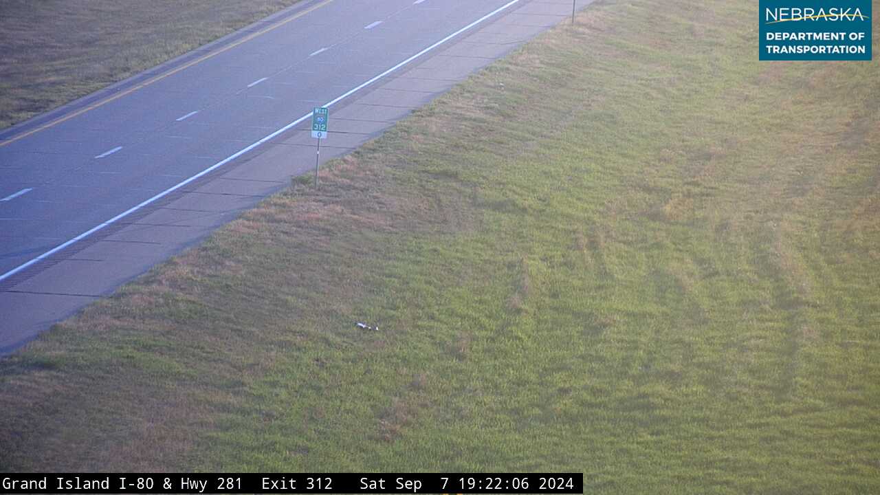
Grand Island, the county seat, is where US 30 meets US 281; west of town the road follows the Union Pacific through Alda and Wood River.
History along the road. Nebraska’s first Lincoln Highway seedling mile was built near Grand Island in 1915. It is the only original seedling mile never widened or covered with asphalt, was added to the National Register in 2013, and has a marker in the median at US 30 and Stuhr Road. The Stuhr Museum of the Prairie Pioneer, dedicated in 1967, recreates an 1890s railroad town.
Live cameras. Images from Nebraska 511; click one to open it full size.
Buffalo County on US Highway 30
Kearney and the Lincoln Way.
On the road: Shelton · Gibbon · Kearney · Odessa · Elm Creek (US 183) · Buffalo County page
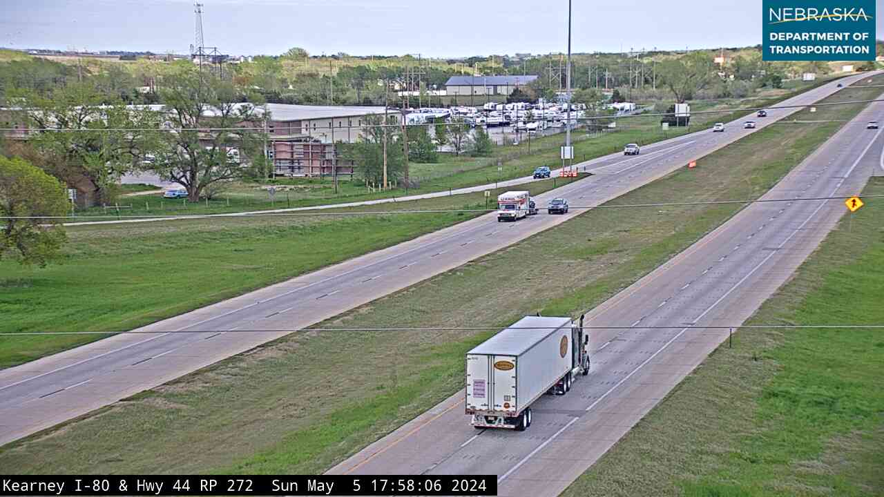
US 30 runs through Kearney, the county seat and home of the University of Nebraska at Kearney, and meets US 183 at Elm Creek. The Great Platte River Road Archway spans I-80 about three miles east of town.
History along the road. Kearney’s seedling mile, finished two weeks after Grand Island’s, was a 15-foot concrete boulevard renamed the “Lincoln Way”; a marker places it on West 24th Street. The city is named for Fort Kearny (1848)—the extra “e” was a postal misspelling. Gibbon was founded in 1871, many of its first settlers Civil War veterans.
Live cameras. Images from Nebraska 511; click one to open it full size.
Dawson County on US Highway 30
The 100th meridian and the Pony Express.
On the road: Overton · Lexington (US 283) · Cozad · Gothenburg · Dawson County page
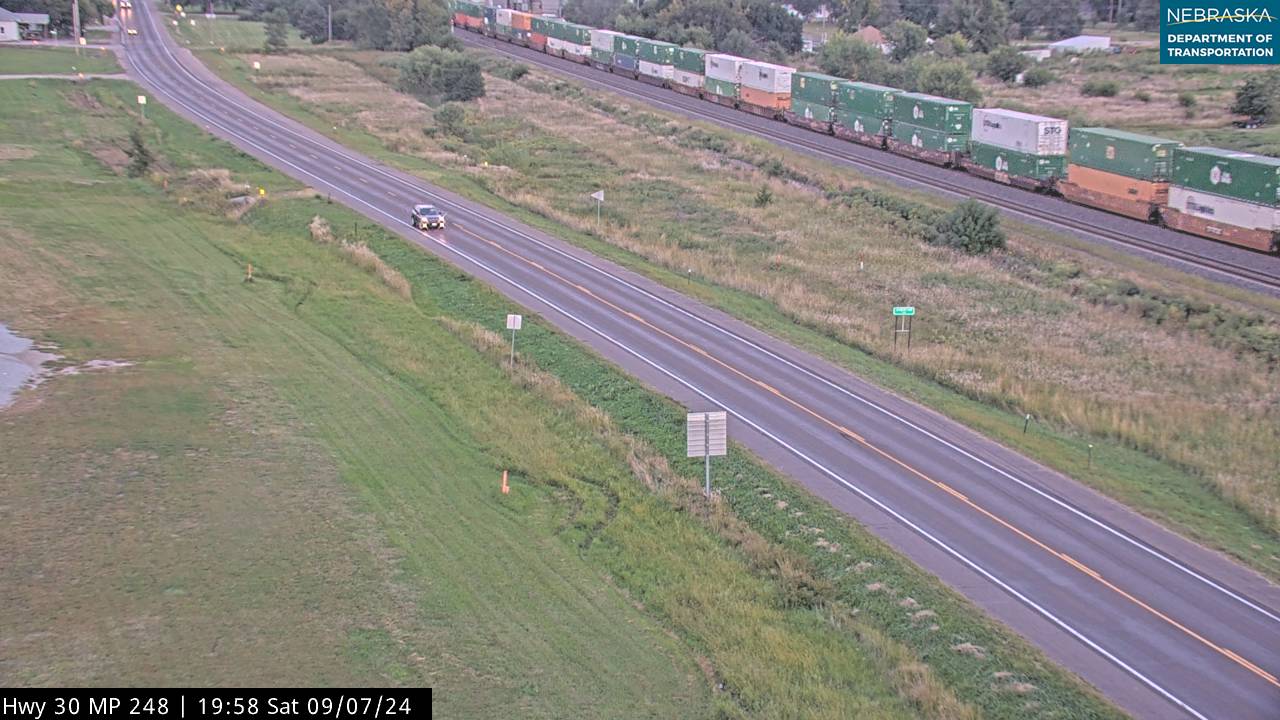
US 30 crosses the county on the north side of the Platte, through Overton, Lexington—the county seat, where US 283 ends—Cozad and Gothenburg.
History along the road. Cozad’s 100th Meridian marker stands at US 30 and Meridian Avenue; the Union Pacific’s “Great Excursion” arrived there on October 26, 1866. Gothenburg’s Pony Express station, used in 1860–61, was moved into town in 1931, and old Lincoln Highway bridge abutments still stand at Overton. The 1919 convoy camped at both Lexington and Gothenburg.
Live cameras. Images from Nebraska 511; click one to open it full size.
Lincoln County on US Highway 30
North Platte and the golden ribbon.
On the road: Brady · Maxwell · North Platte (US 83) · Hershey · Sutherland · Lincoln County page
US 30 meets US 83 at North Platte, the county seat, near where the North and South Platte rivers join.
History along the road. In early November 1935 more than 3,000 people gathered a few miles west of North Platte to cut a golden ribbon marking the completion of paving on US 30. The North Platte Canteen at the Union Pacific depot served millions of servicemen from Christmas Day 1941 to April 1, 1946, and Buffalo Bill Cody built his Scout’s Rest house here in 1886.
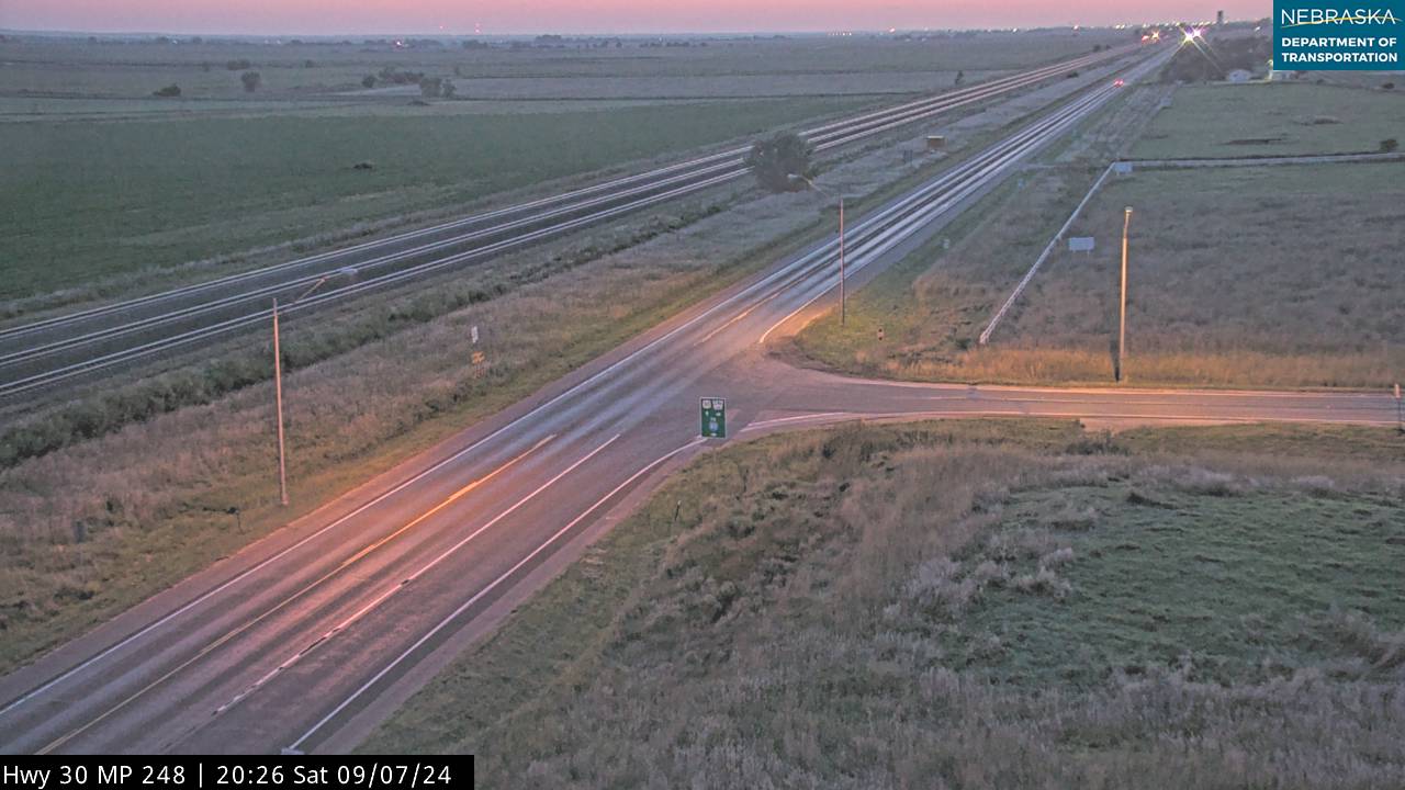
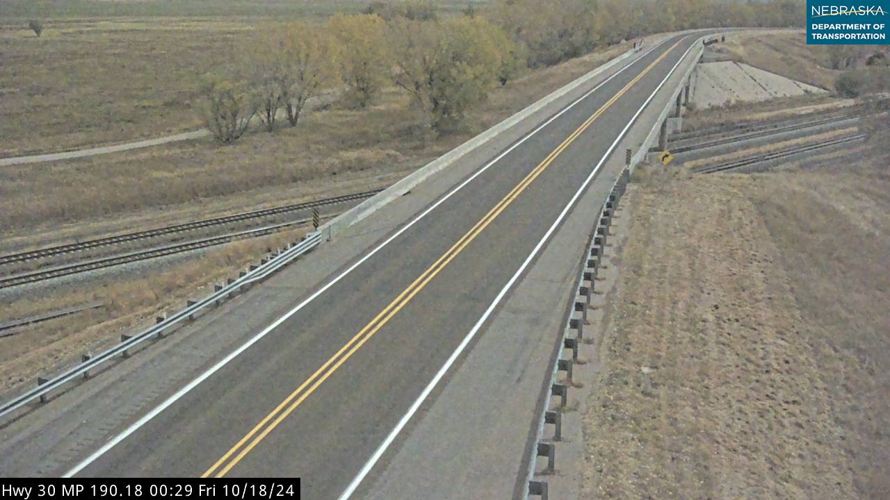
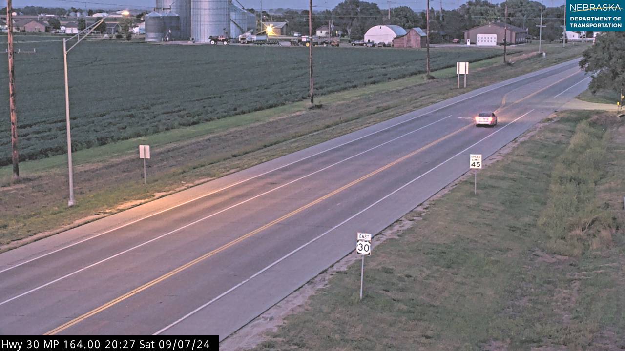
Live cameras. Images from Nebraska 511; click one to open it full size.
Keith County on US Highway 30
Ogallala, the cowboy capital.
On the road: Paxton · Ogallala (US 26) · Brule · Keith County page
Ogallala, the county seat, is where US 26 heads northwest toward Ash Hollow and the North Platte valley.
History along the road. Texas cattle came up the Western Trail to Ogallala until the trail-drive era ended in the mid-1880s. The 1919 Army convoy camped here on its way west.
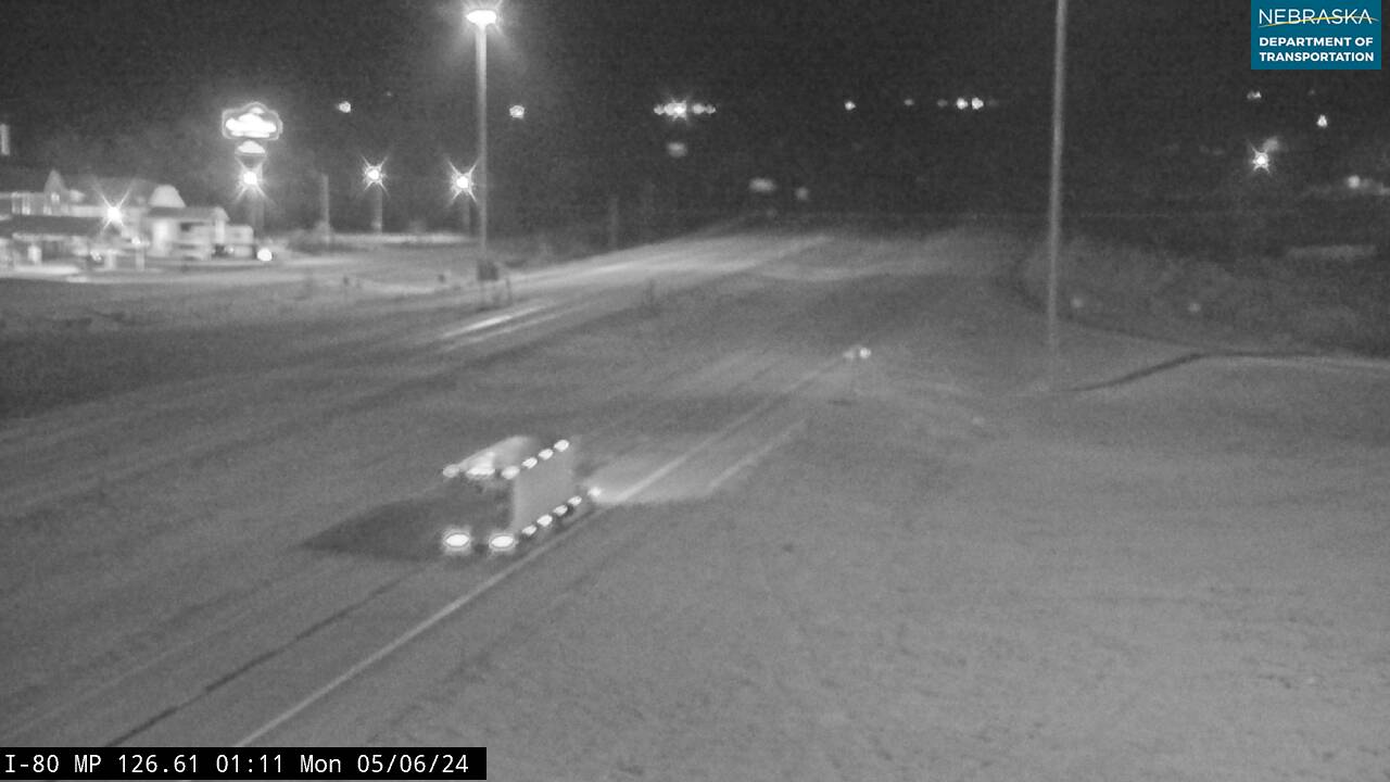
Live cameras. Images from Nebraska 511; click one to open it full size.
Deuel County on US Highway 30
Big Springs and Lodgepole Creek.
On the road: Big Springs (US 138) · Chappell · Deuel County page
At Big Springs US 138 heads southwest along the South Platte toward Julesburg, Colorado, while US 30 turns west up Lodgepole Creek to Chappell, the county seat.
History along the road. Sam Bass’s gang robbed a Union Pacific train at Big Springs on September 18, 1877, taking a reported $60,000 in new $20 gold pieces. The Lincoln Highway once had a branch from Big Springs to Julesburg, dropped in the mid-1920s, and the 1919 convoy camped at Big Springs.
Live cameras. Images from Nebraska 511; click one to open it full size.
Cheyenne County on US Highway 30
Sidney and the Black Hills trail.
On the road: Lodgepole · Sidney (US 385) · Potter · Cheyenne County page
The road follows Lodgepole Creek and the Union Pacific across the county; at Sidney, the county seat, US 385 joins it.
History along the road. Sidney Barracks was set up in 1867 to guard Union Pacific construction crews and closed in 1894. From Sidney, the Sidney–Black Hills Trail carried freight and gold seekers 267 miles north to Deadwood and Custer.
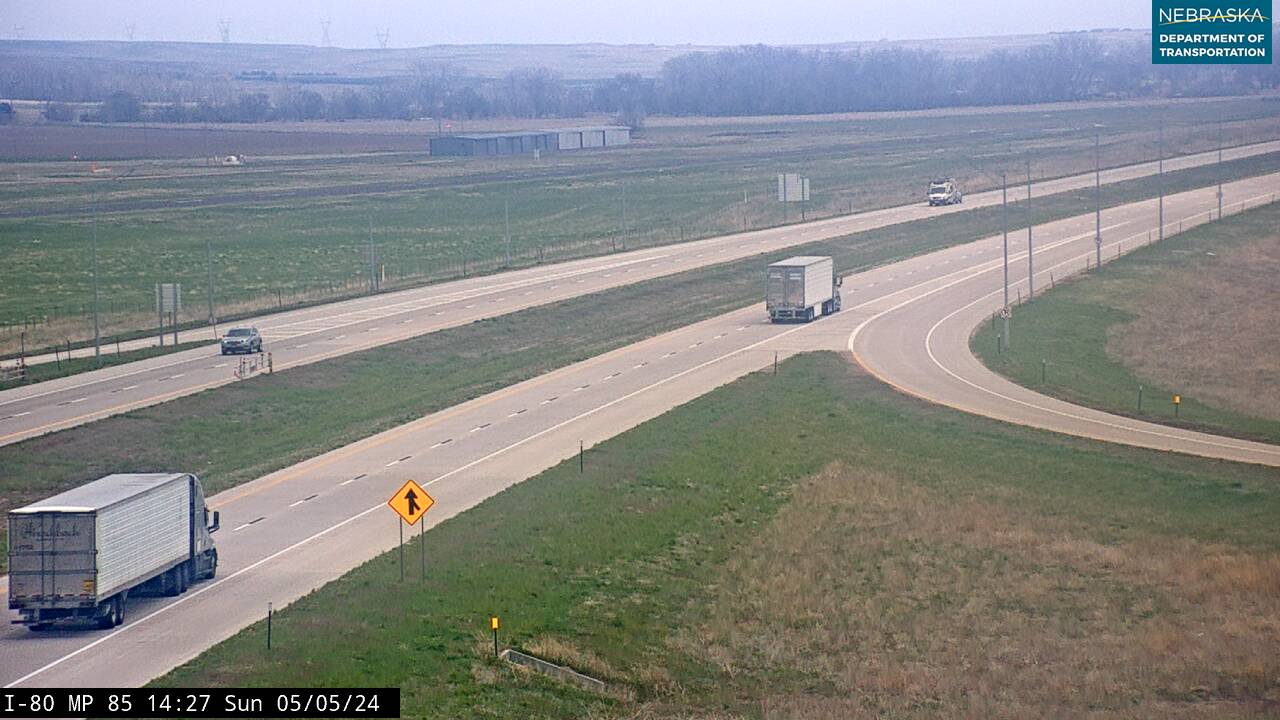
Live cameras. Images from Nebraska 511; click one to open it full size.
Kimball County on US Highway 30
Last miles to Wyoming.
On the road: Dix · Kimball (Nebraska 71) · Bushnell · Kimball County page
US 30 runs beside Interstate 80 through Dix, Kimball—the county seat—and Bushnell, then leaves Nebraska for Pine Bluffs, Wyoming.
History along the road. Kimball began about 1870 as “Antelopeville” and was renamed in 1885 for Union Pacific official Thomas L. Kimball. The 1919 convoy made its last Nebraska camp here before rolling on to Cheyenne.
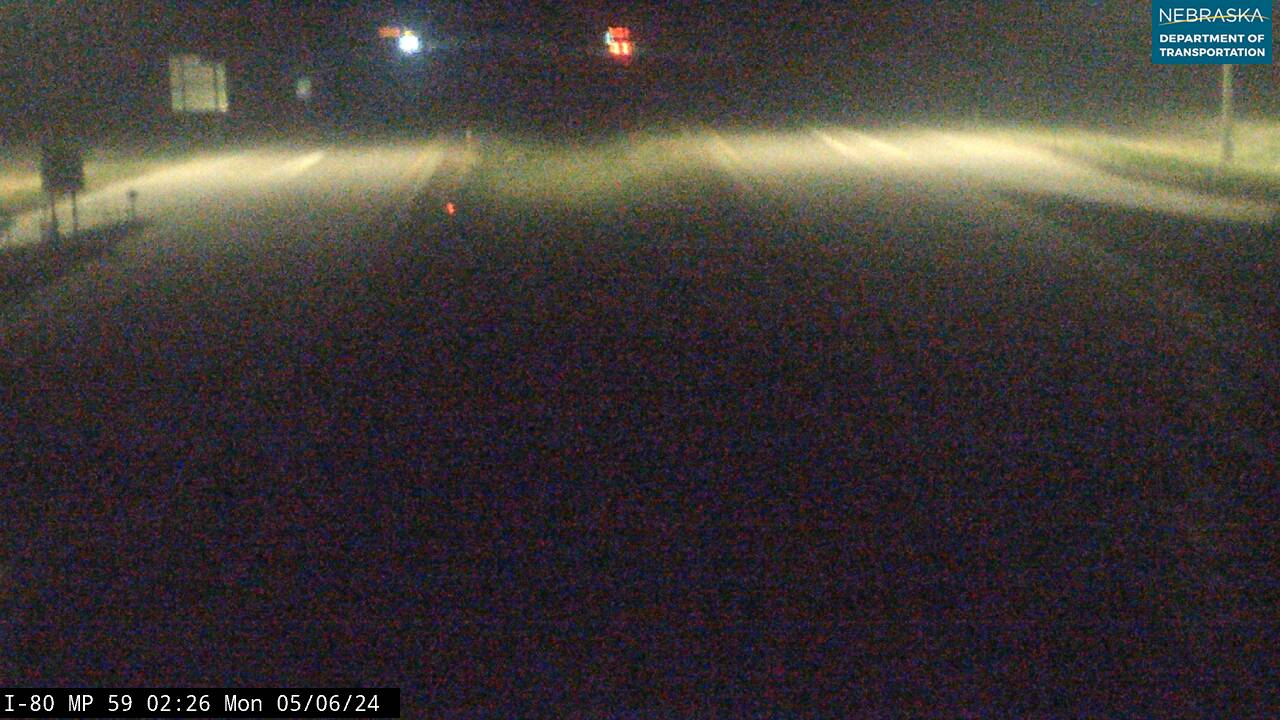
Live cameras. Images from Nebraska 511; click one to open it full size.
Nebraska Road Conditions & US-30 Travel Tips
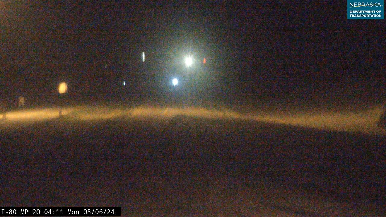
US 30 is the slower, small-town alternative to Interstate 80, with services in nearly every town. Check current conditions before you travel, especially in winter.
RV Travel & Camping Along US Highway 30
- Fremont Lakes State Recreation Area — just west of Fremont
- Windmill State Recreation Area — at Gibbon
- Lake Maloney State Recreation Area — south of North Platte
- Lake McConaughy State Recreation Area — north of Ogallala
Related Nebraska Travel Corridors
- Interstate 80 — beside US 30 from Grand Island to Wyoming
- US Highway 75 — at Blair
- US Highway 275 — at Fremont
- US Highway 81 — at Columbus
- US Highway 281 — at Grand Island
- US Highway 183 — at Elm Creek
- US Highway 83 — at North Platte
- Highway 71 — at Kimball
- ← Explore All Nebraska Travel Corridors