
US Highway 75
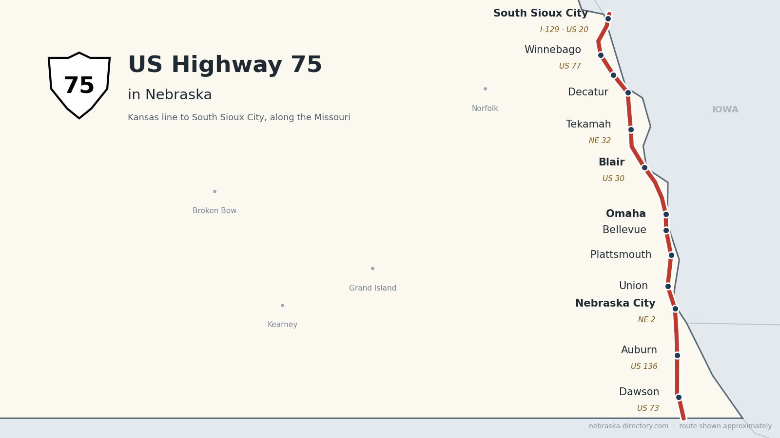
US Highway 75: Along the Missouri
US Highway 75 runs about 188 miles up the eastern edge of Nebraska, from the Kansas line south of Dawson to the Sergeant Floyd Memorial Bridge at South Sioux City. It links the old Missouri River towns—Auburn, Nebraska City, Plattsmouth, Bellevue, Omaha, Blair and Tekamah—and crosses the Omaha and Winnebago reservations. From I-680 in Omaha north to South Sioux City it is part of the Lewis & Clark Scenic Byway.
Before it was 75.
This was the river road long before it was a highway. On August 3, 1804, Lewis and Clark held their first council with the Otoe and Missouria at the Council Bluff near today’s Fort Calhoun, and on August 13 members of the expedition visited the Omaha people’s Big Village near Homer. Steamboats later tied up at Bellevue and Nebraska City, and the Bertrand sank north of Omaha on April 1, 1865. The railroads followed: the Burlington reached Plattsmouth in 1869, the Sioux City & Pacific founded Blair that year, the Atchison & Nebraska created Dawson in 1872, and the Omaha & Northwestern reached Herman in 1871 and Tekamah in 1876.
When the US highways were numbered in 1926, US 75 ran north from Kansas to Omaha and then crossed into Iowa. The river road north of Omaha was US 73, which was extended to South Sioux City in 1932 and by 1937 ran together with US 75 from Dawson to Omaha. After Interstate 29 was finished in Iowa, the numbers were rearranged: on December 5, 1984, US 75 took over the whole Nebraska route north to South Sioux City, and US 73 was cut back to Dawson. In Omaha the road became a freeway—the North Freeway was finished on November 15, 1988, and the Kennedy Freeway was extended south toward Bellevue and Plattsmouth through 2019.
Begin your journey at the Kansas line and follow the river north—through Arbor Day’s hometown, past Offutt and downtown Omaha, to Fort Atkinson, DeSoto Bend and the reservation towns—to the Sergeant Floyd bridge.
Counties along US 75, south to north: Richardson · Nemaha · Otoe · Cass · Sarpy · Douglas · Washington · Burt · Thurston · Dakota
Richardson County on US Highway 75
Dawson and the Kansas line.
On the road: Dawson · Falls City (east on US 73) · Humboldt (just west) · Richardson County page
US 75 enters from Kansas south of Dawson. US 73 ends just north of town, and the road jogs a mile west before heading north past Nebraska 4 and 62.
History along the road. Dawson was platted in 1872 when the Atchison & Nebraska Railroad arrived. Falls City, the county seat, was founded in 1857 by James Lane and others as a Free State settlement; Nebraska’s first producing oil well, the Bucholz No. 1, came in near Falls City in 1940.
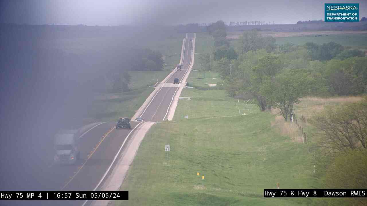
Live cameras. Images from Nebraska 511; click one to open it full size.
Nemaha County on US Highway 75
Auburn.
On the road: Auburn (US 136) · Nemaha County page
US 75 crosses US 136 at Auburn, the county seat, then shares a mile with Nebraska 67 north of town. Brownville and the Missouri River are a short drive east on US 136.
History along the road. Auburn was formed in 1882 when the rival towns of Calvert and Sheridan merged, and it became the county seat the next year.
Otoe County on US Highway 75
Nebraska City, home of Arbor Day.
On the road: Nebraska City (NE 2) · Otoe County page
North of Nebraska 128 the road becomes a divided highway. With Nebraska 2 it follows the J. Sterling Morton Beltway around the southwest side of Nebraska City, while Business US 75 goes into town.
History along the road. Old Fort Kearny was built here in 1846, and Russell, Majors and Waddell ran freight wagons west from Nebraska City beginning in 1858. The first Arbor Day, J. Sterling Morton’s idea, was held on April 10, 1872, when more than a million trees were planted. Morton’s Arbor Lodge grew from a four-room house into a 52-room mansion and is now a state historical park. The 1855 Mayhew Cabin has long been told as an Underground Railroad stop, though historians now call its “John Brown’s Cave” story folklore.
Live cameras. Images from Nebraska 511; click one to open it full size.

Cass County on US Highway 75
Union, Murray and Plattsmouth.
On the road: Union · Murray (just west) · Plattsmouth · Cass County page
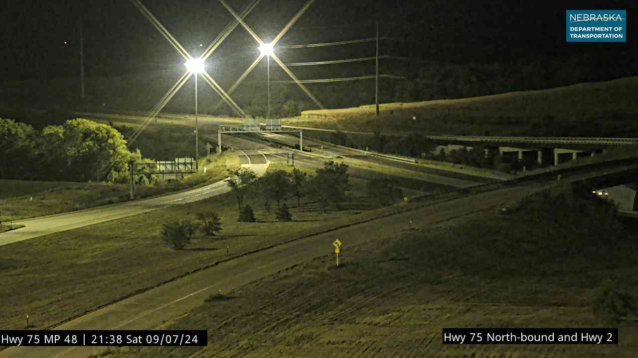
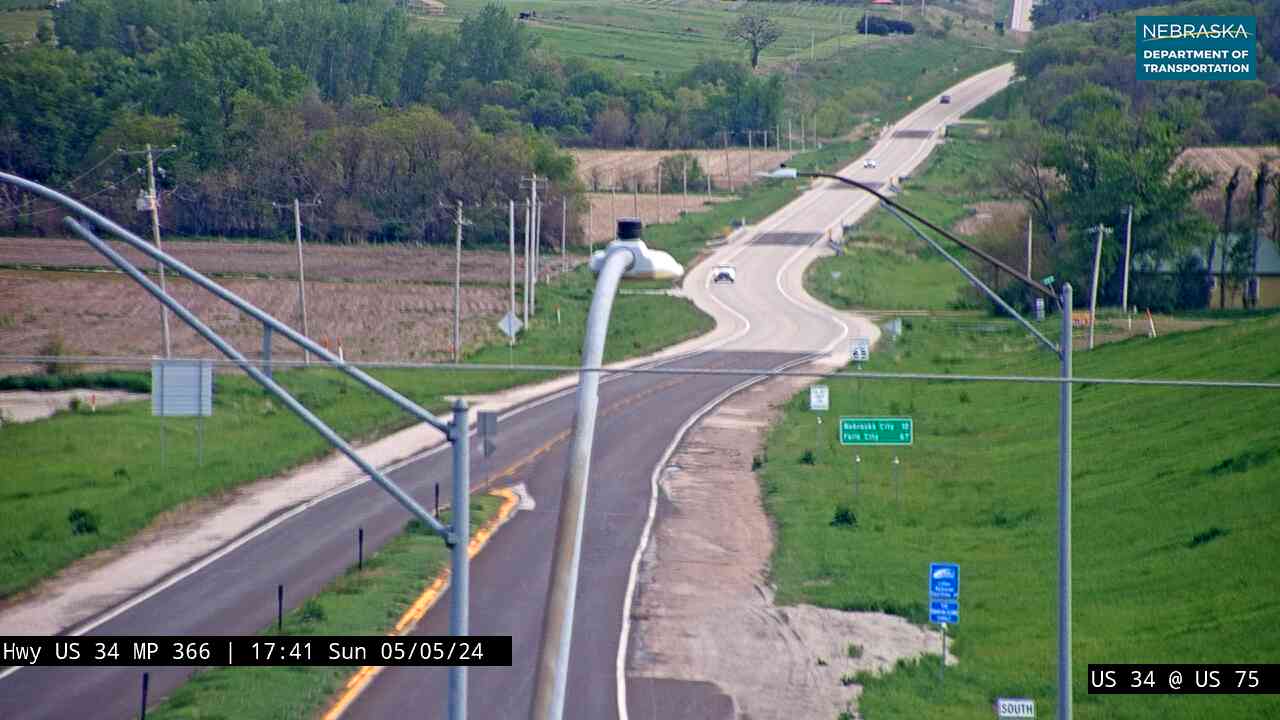
At Union, US 34 joins for about 19 miles. The road passes just east of Murray and takes a four-lane bypass west of Plattsmouth; US 34 moved to a new Missouri River bridge in October 2014.
History along the road. Plattsmouth began in 1854 as a trading post called the Barracks and was incorporated on March 15, 1855. The Burlington & Missouri River Railroad reached it in 1869 and finished its Missouri River bridge in 1880, and its shops employed up to 800 workers between 1890 and 1940. Union was laid out in 1890 at a railroad junction.
Live cameras. Images from Nebraska 511; click one to open it full size.
Sarpy County on US Highway 75
Bellevue and Offutt Air Force Base.
On the road: Bellevue · Sarpy County page
The highway crosses the Platte River into Sarpy County, where US 34 leaves at Bellevue and the Kennedy Freeway runs north along the west side of Offutt Air Force Base.
History along the road. Bellevue is the oldest continuous settlement in Nebraska, a fur-trade gateway and steamboat landing. Fort Crook, built in 1891, became Offutt Air Force Base; the Martin bomber plant there built the Enola Gay and Bockscar, the Strategic Air Command moved its headquarters to Offutt in 1948, and U.S. Strategic Command followed in 1992.
Live cameras. Images from Nebraska 511; click one to open it full size.
Douglas County on US Highway 75
Through the heart of Omaha.
On the road: Omaha (I-80, US 6, US 275) · Douglas County page
US 75 follows the Kennedy Freeway north to I-80 and I-480, runs briefly on I-480, then takes the North Freeway past Creighton University to Sorensen Parkway, continues on city streets through Florence, and passes under I-680.
History along the road. Omaha was founded in 1854. Union Pacific construction began here in January 1866, and the 1898 Trans-Mississippi Exposition drew more than two million visitors.
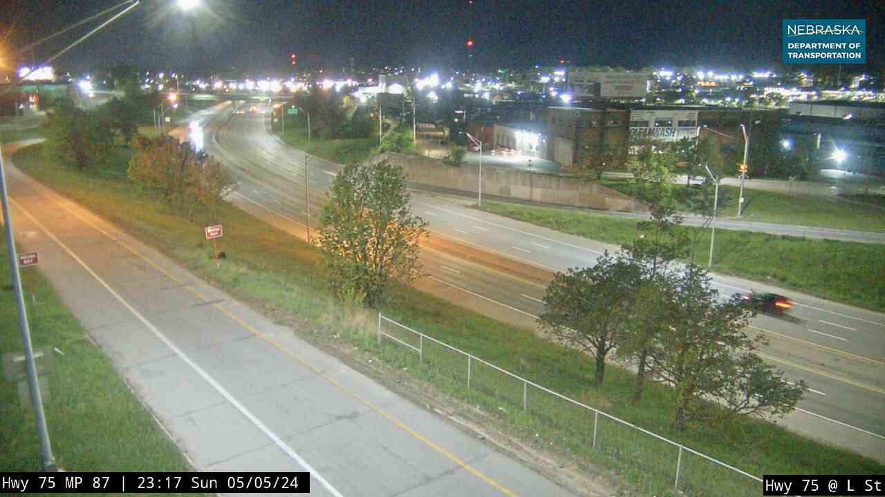
Live cameras. Images from Nebraska 511; click one to open it full size.

Washington County on US Highway 75
Fort Atkinson and DeSoto Bend.
On the road: Fort Calhoun · Blair (US 30, NE 91) · Herman · Washington County page
North of Omaha the road passes Fort Calhoun, shares half a mile with US 30 in Blair, the county seat, and continues through Herman.
History along the road. Near Fort Calhoun, Lewis and Clark met the Otoe and Missouria at the Council Bluff in 1804, and the Army built Fort Atkinson there, manned by up to about 1,200 soldiers from 1820 to 1827 (some sources say 1819); the fort has been rebuilt as a state historical park. Blair was platted in 1869. DeSoto National Wildlife Refuge, east of town, was set up in 1958, and the steamboat Bertrand, found there in 1968, yielded more than 250,000 artifacts. Herman was platted in 1871; a tornado killed 13 people there on June 13, 1899.
Burt County on US Highway 75
Tekamah and Decatur.
On the road: Tekamah (NE 32) · Decatur · Burt County page
US 75 crosses Nebraska 32 at Tekamah, the county seat, and runs with Nebraska 51 for half a mile at Decatur, where 51 crosses the river into Iowa.
History along the road. A 1931 marker in front of the courthouse on US 75 gives Tekamah’s founding date as October 7, 1854; the name is said to mean “big cottonwood” in the Omaha language. The railroad reached town on August 26, 1876. Decatur began as a trading post in 1854 and was incorporated in 1856.
Thurston County on US Highway 75
The Omaha and Winnebago reservations.
On the road: Macy · Winnebago (US 77) · Thurston County page
The road crosses the Omaha Reservation through Macy and meets US 77 at a roundabout in Winnebago; the two run together north for about 16 miles.
History along the road. The Omaha Reservation dates from the treaty of 1854, and Macy, its headquarters, takes its name from “Omaha” and “Agency.” A marker on US 75 says the name Omaha means “those going against the wind or current.” The Winnebago (Ho-Chunk) Reservation was established by an 1865 treaty on land the Omaha gave up at the north end of their reservation.
Dakota County on US Highway 75
Homer, Dakota City and the Sergeant Floyd bridge.
On the road: Homer · Dakota City · South Sioux City (I-129, US 20) · Dakota County page
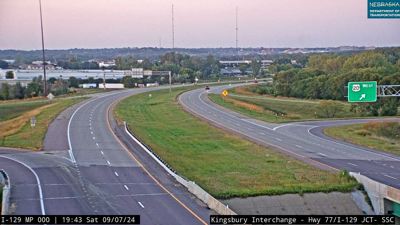
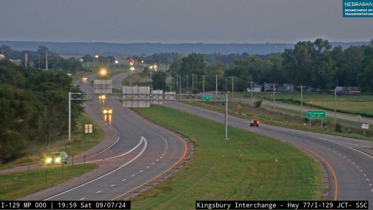
US 75/77 runs past Homer and Dakota City, the county seat, to the I-129 and US 20 interchange at South Sioux City, then crosses the Missouri into Iowa on the Sergeant Floyd Memorial Bridge.
History along the road. The Omaha people’s Big Village near Homer, founded about 1775, had about 1,100 residents by 1795, before smallpox around 1800 killed about a third of the tribe, including Chief Blackbird; the site can be seen from a pull-off on US 75. Homer was platted in 1874. Dakota City, platted in 1856, is home to Emmanuel Lutheran, the first Lutheran church building in Nebraska. South Sioux City was incorporated in 1887.
Live cameras. Images from Nebraska 511; click one to open it full size.
Nebraska Road Conditions & US-75 Travel Tips
US 75 is a busy four-lane road from Nebraska City through Omaha and a two-lane road on the ends. Check current conditions before you travel, especially in winter.
RV Travel & Camping Along US Highway 75
- Riverview Marina State Recreation Area — on the river at Nebraska City
- Haworth Park — on the river at Bellevue
- Scenic Park — on the river at South Sioux City
Related Nebraska Travel Corridors
- Highway 4 — near Dawson
- US Highway 136 — at Auburn
- Highway 2 — at Nebraska City
- Interstate 80, US Highway 6 and US Highway 275 — in Omaha
- US Highway 30 and Highway 91 — at Blair
- Highway 32 — at Tekamah
- US Highway 20 — at South Sioux City
- ← Explore All Nebraska Travel Corridors