
Nebraska Highway 91
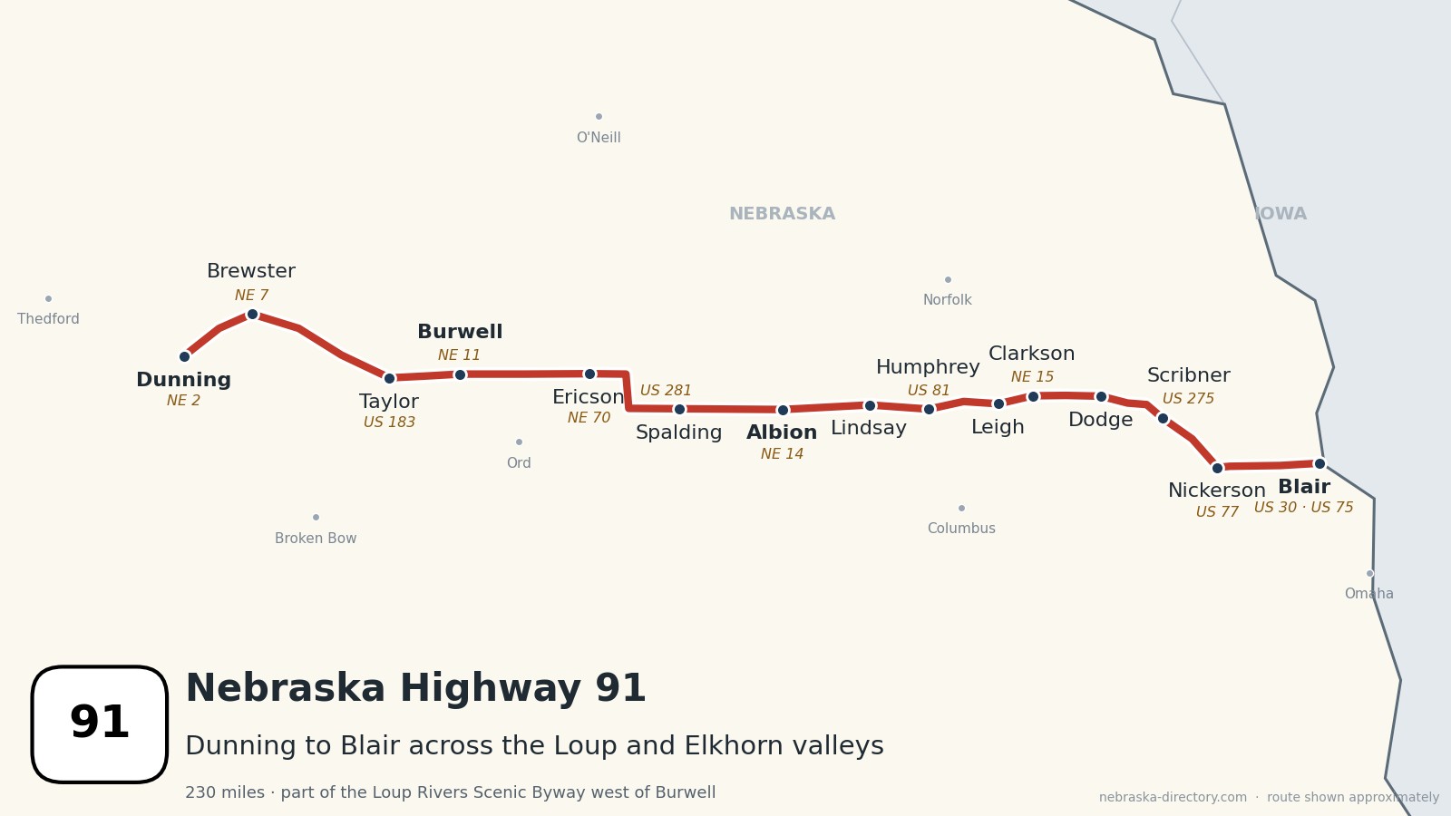
Nebraska Highway 91: Dunning to Blair
Nebraska Highway 91 runs about 230 miles across north-central and northeast Nebraska, from Nebraska 2 just north of Dunning in the Sandhills to US 30 and US 75 in Blair. It crosses the hills to Brewster and Taylor, passes Calamus Reservoir at Burwell, crosses the Cedar River at Spalding, and runs east through Albion and a string of 1880s railroad towns: Humphrey, Leigh, Clarkson, Howells, Dodge and Snyder. It then follows the Elkhorn valley past Scribner and Nickerson to Blair. It is one continuous road across ten counties and shares about 40 miles with other highways, most of it with US 275 in Dodge County. West of Burwell it is part of the Loup Rivers Scenic Byway.
Before it was 91.
No named auto trail followed this road. On the 1924 list of Nebraska's named highways, the North and South Pike ran north from Kearney through Taylor to Bassett, the Meridian Highway, today's US 81, crossed the corridor near Humphrey, and the Lincoln Highway ran through Columbus and Fremont rather than Blair. The Lincoln Highway was moved through Blair in 1930, after a toll bridge opened there across the Missouri.
Highway 91 was put together in pieces. The first Highway 91, numbered about 1934, ran only from Blair to Newman Grove. In the 1940s it was carried west through Albion, Spalding, Burwell and Taylor over roads that had carried other numbers, including 11, 32 and 53. The last piece, from Brewster to Dunning, joined Highway 91 sometime between the 1940s and about 1960; sources disagree on when.
The railroads made most of the towns. The Fremont, Elkhorn & Missouri Valley built through Scribner, Hooper and Nickerson in 1870 and 1871, and through Snyder, Dodge, Howells and Creston in 1886. The Sioux City & Pacific founded Blair in 1869, the Omaha, Niobrara & Black Hills reached Humphrey in 1880, and the Burlington founded Ericson in 1886 and reached Burwell in 1887.
Begin your journey at Dunning and head east: across the Sandhills to Brewster and Taylor, past Calamus Reservoir at Burwell, over the Cedar River at Spalding, through the farm towns of Platte and Colfax counties, and down the Elkhorn valley to Blair, a few miles from the Missouri River.
Counties along Highway 91, west to east: Blaine · Loup · Garfield · Wheeler · Greeley · Boone · Platte · Colfax · Dodge · Washington
Blaine County on Highway 91
Dunning and Brewster.
On the road: Dunning (NE 2) · Brewster (NE 7) · Blaine County page
Highway 91 begins at Nebraska 2 just north of Dunning, where the Dismal River meets the Middle Loup, and heads northeast across the Sandhills to Brewster, the county seat, where Nebraska 7 heads north.
History along the road. Dunning began as a station on the Burlington. Brewster was founded in 1884; after the 2010 census it became the smallest incorporated county seat in the United States, and it had 12 people in 2020. The outlaw Doc Middleton opened a saloon there in 1887. In 1897 the Burlington graded a rail line to Brewster from Sargent but never finished it.
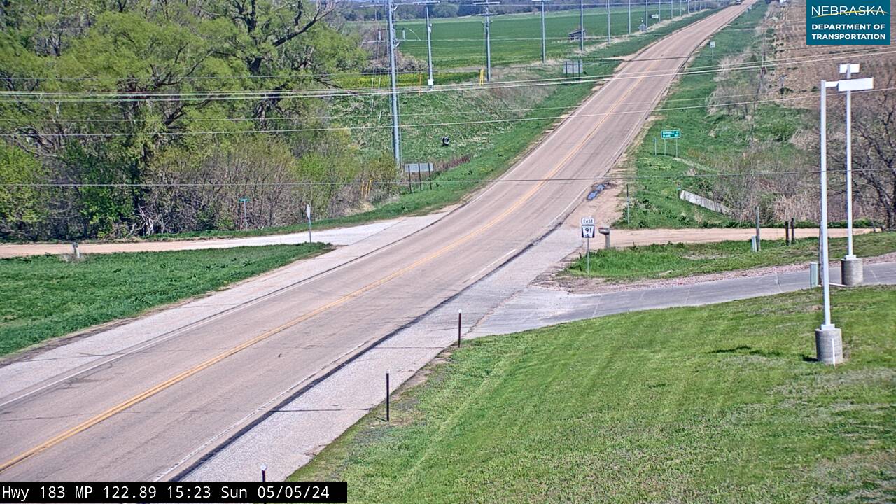
Live cameras. Images from Nebraska 511; click one to open it full size.
Loup County on Highway 91
Taylor.
On the road: Taylor (US 183) · Loup County page
East of Brewster the road reaches Taylor, the county seat, where it shares about a mile with US 183.
History along the road. Taylor was platted in 1883 and named for pioneer Ed Taylor. Its 1887 Pavillion Hotel is on the National Register of Historic Places. On the 1924 road map, the North and South Pike ran through Taylor on its way from Kearney to Bassett.
Live cameras. Images from Nebraska 511; click one to open it full size.

Garfield County on Highway 91
Burwell and Calamus Reservoir.
On the road: Burwell (NE 11) · Calamus Reservoir State Recreation Area (NE 96) · Garfield County page
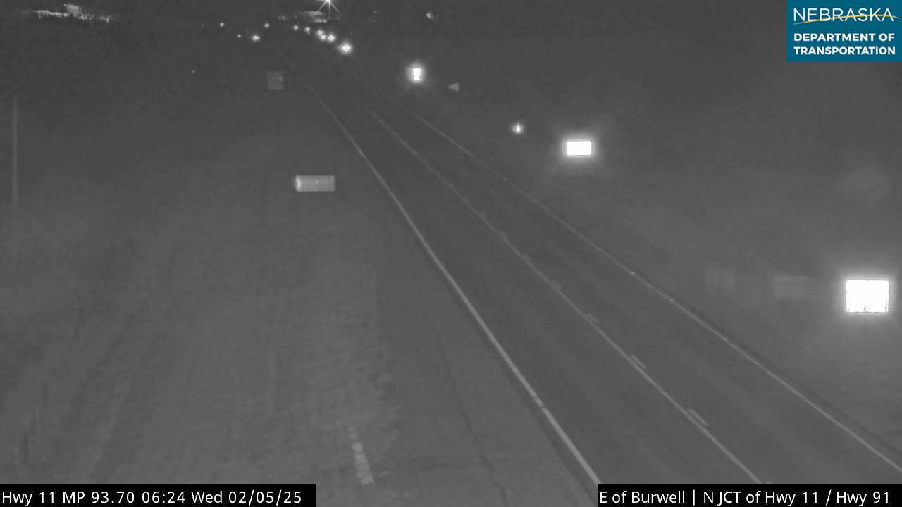
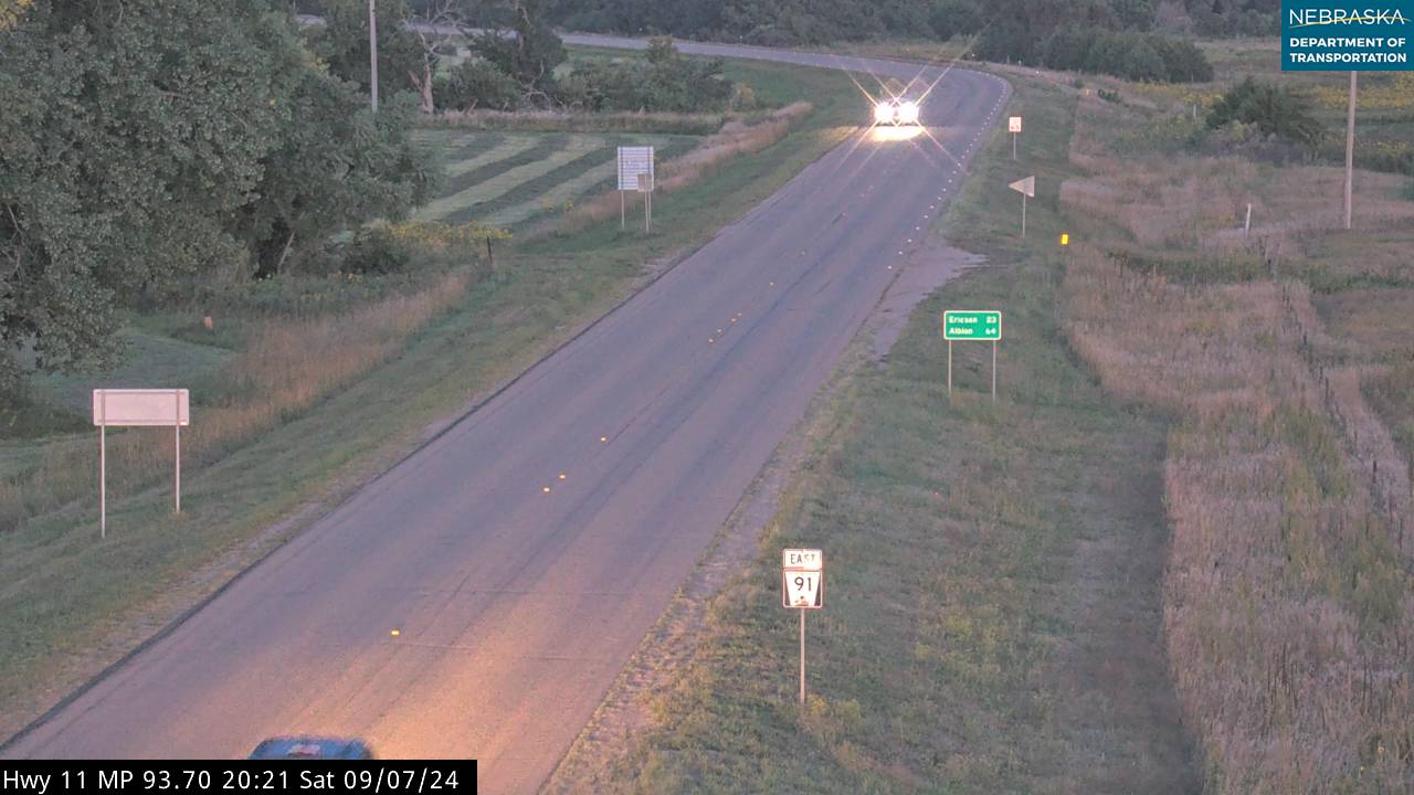
At Burwell, the county seat, Nebraska 96 heads northwest about six miles to Calamus Reservoir, a 5,123-acre lake behind the Virginia Smith Dam. Highway 91 shares about two miles with Nebraska 11 through town; Nebraska 11 heads south about 10 miles to Fort Hartsuff State Historical Park near Elyria. East of Burwell, Highway 91 runs with Nebraska 70 for about 14 miles into Wheeler County.
History along the road. Burwell was platted in 1883 by Frank Webster and was long called "Webster's town." It holds "Nebraska's Big Rodeo" the last weekend of July, and its FFA chapter, chartered in 1929, was one of the first in the state. Fort Hartsuff was an army post from 1874 to 1881, and nine of its original grout buildings still stand. The Loup Rivers Scenic Byway runs about 150 miles on Highways 11 and 91 between Dunning and Wood River.
Live cameras. Images from Nebraska 511; click one to open it full size.
Wheeler County on Highway 91
Ericson and US 281.
On the road: Ericson · Bartlett (north on US 281) · Wheeler County page
Highway 91 and Nebraska 70 reach Ericson, then Highway 91 runs with US 281 for about six miles between Bartlett and Greeley.
History along the road. Ericson was founded in 1886 on the Burlington line from Greeley and named for town-site owner Christensen Erickson.
Live cameras. Images from Nebraska 511; click one to open it full size.

Greeley County on Highway 91
Spalding and the Cedar River.
On the road: Spalding · Spalding Dam Site · Greeley County page
East of US 281, the road crosses into Greeley County and reaches Spalding on the Cedar River.
History along the road. Spalding was founded in 1875 as Halifax by an Irish Catholic colony and renamed in 1881 for Bishop John Lancaster Spalding. Its power plant and dam on the Cedar River, built in 1919, were listed on the National Register of Historic Places in 1998.
Boone County on Highway 91
Albion.
On the road: Albion (NE 14) · Primrose (south on NE 52) · Boone County page
Highway 91 passes Nebraska 52, which leads south to Primrose, and runs through Albion, the county seat, where it shares a few blocks with Nebraska 14.
History along the road. Albion was platted in 1872 and has been the county seat since 1873. The story goes that its name was chosen over "Manchester" in a game of euchre.
Platte County on Highway 91
Lindsay, Humphrey and Creston.
On the road: Lindsay · Cornlea (spur) · Humphrey (US 81) · Creston (spur) · Newman Grove (north on NE 45) · Platte County page
The road passes Lindsay, Nebraska 45 north to Newman Grove, and a spur to Cornlea, then crosses US 81 at Humphrey, where Nebraska's first reduced-conflict (RCUT) intersection opened in 2020. A short spur leads to Creston.
History along the road. Lindsay was platted in 1886 by settlers from Lindsay, Ontario; Lindsay Manufacturing, now the irrigation company Lindsay Corporation, was founded there in 1955. Humphrey was founded in 1880, when the Omaha, Niobrara & Black Hills Railroad arrived, and named for Humphrey, New York. Creston, laid out in 1886, is named for its "lofty elevation."
Live cameras. Images from Nebraska 511; click one to open it full size.
Colfax County on Highway 91
Leigh, Clarkson and Howells.
On the road: Leigh (NE 57) · Clarkson (NE 15) · Howells · Colfax County page
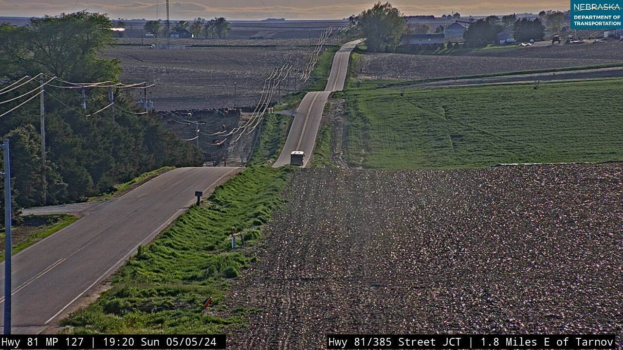
Three towns sit just off the highway on short spurs: Leigh, where Nebraska 57 heads north; Clarkson, where the road crosses Nebraska 15; and Howells.
History along the road. Leigh's post office opened in 1875, and the town is named for the maiden name of the first postmaster's wife. Clarkson, platted in 1886, is named for postal official T. S. Clarkson. Howells, platted the same year, is named for James Smith Howell; its post office was spelled "Howell" until 1937.
Live cameras. Images from Nebraska 511; click one to open it full size.
Dodge County on Highway 91
Dodge, Snyder, Scribner and Nickerson.
On the road: Dodge (spur) · Snyder · Scribner (US 275) · Hooper (spur) · Nickerson · Dodge County page
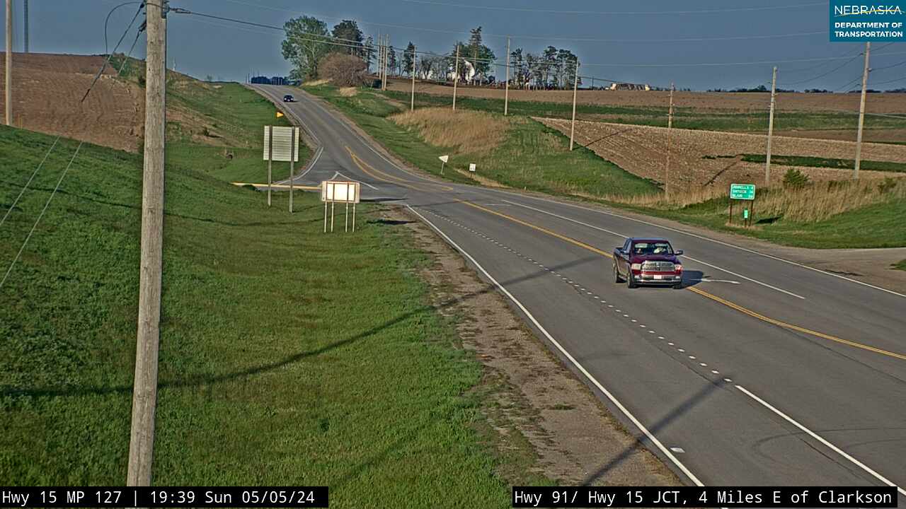
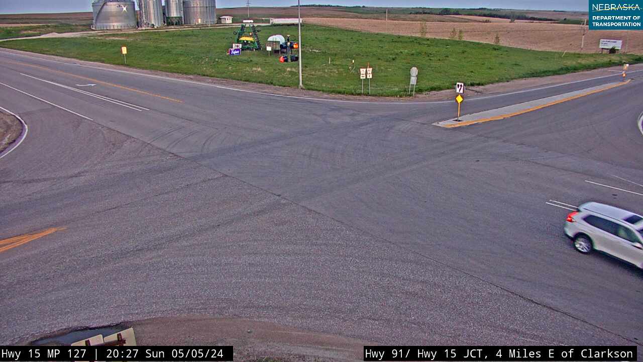
Highway 91 passes Dodge and runs through Snyder, where Nebraska 79 heads south, then joins US 275 east of Snyder for about 18 miles down the Elkhorn valley. It runs through Scribner, bypasses Hooper, and shares about four miles with US 77 near Winslow before turning east at Nickerson. Dead Timber State Recreation Area, on an old channel of the Elkhorn River, is on US 275 just north of Scribner.
History along the road. Scribner was platted in 1870 and named for publisher Charles Scribner; its rail service ended in 1982. Hooper, founded in 1871 and named for Massachusetts Congressman Samuel Hooper, has a downtown of 22 Italianate buildings listed on the National Register in 1980. Snyder and Dodge were both platted in 1886 on the Fremont, Elkhorn & Missouri Valley, and Nickerson in 1871. NDOT has proposed a reduced-conflict intersection at US 77 and Highway 91 west of Nickerson.
Washington County on Highway 91
Fontanelle and Blair.
On the road: Fontanelle · Blair (US 30, US 75) · Washington County page
East of Nickerson the road passes Fontanelle and runs east to Blair, the county seat, where it ends at US 30 and US 75. From Blair, US 30 crosses the Missouri River into Iowa, DeSoto National Wildlife Refuge is about five miles east, and Fort Atkinson State Historical Park is about eight miles southeast at Fort Calhoun.
History along the road. Fontanelle was an early Nebraska Territory town, named for Omaha leader Logan Fontenelle; it faded after it lost its college and never got a railroad. Blair was platted in 1869 on the Sioux City & Pacific and named for railroad investor John Insley Blair. The Abraham Lincoln Memorial Bridge, a private toll bridge across the Missouri, opened at Blair on June 28, 1929; it was replaced in 1991. Dana College operated in Blair until 2010. An EF4 tornado struck near Blair on April 26, 2024.
Nebraska Road Conditions & Highway 91 Travel Tips
Highway 91 is two lanes nearly all the way; the only four-lane stretch is the few miles shared with US 77 and US 275 near Winslow. Towns and services are far apart west of Albion. In 2026, NDOT is resurfacing about 10 miles east of Brewster and moving part of the road, so expect a pilot car there. Check current conditions before you travel, especially in winter.
RV Travel & Camping Along Highway 91
- Calamus Reservoir State Recreation Area — northwest of Burwell
- Dead Timber State Recreation Area — north of Scribner
Related Nebraska Travel Corridors
- Highway 2 — at Dunning
- US Highway 183 — at Taylor
- Highway 11 — at Burwell
- US Highway 281 — between Bartlett and Greeley
- Highway 14 — at Albion
- US Highway 81 — at Humphrey
- Highway 15 — at Clarkson
- US Highway 275 — Snyder to Nickerson
- US Highway 30 and US Highway 75 — at Blair
- ← Explore All Nebraska Travel Corridors