
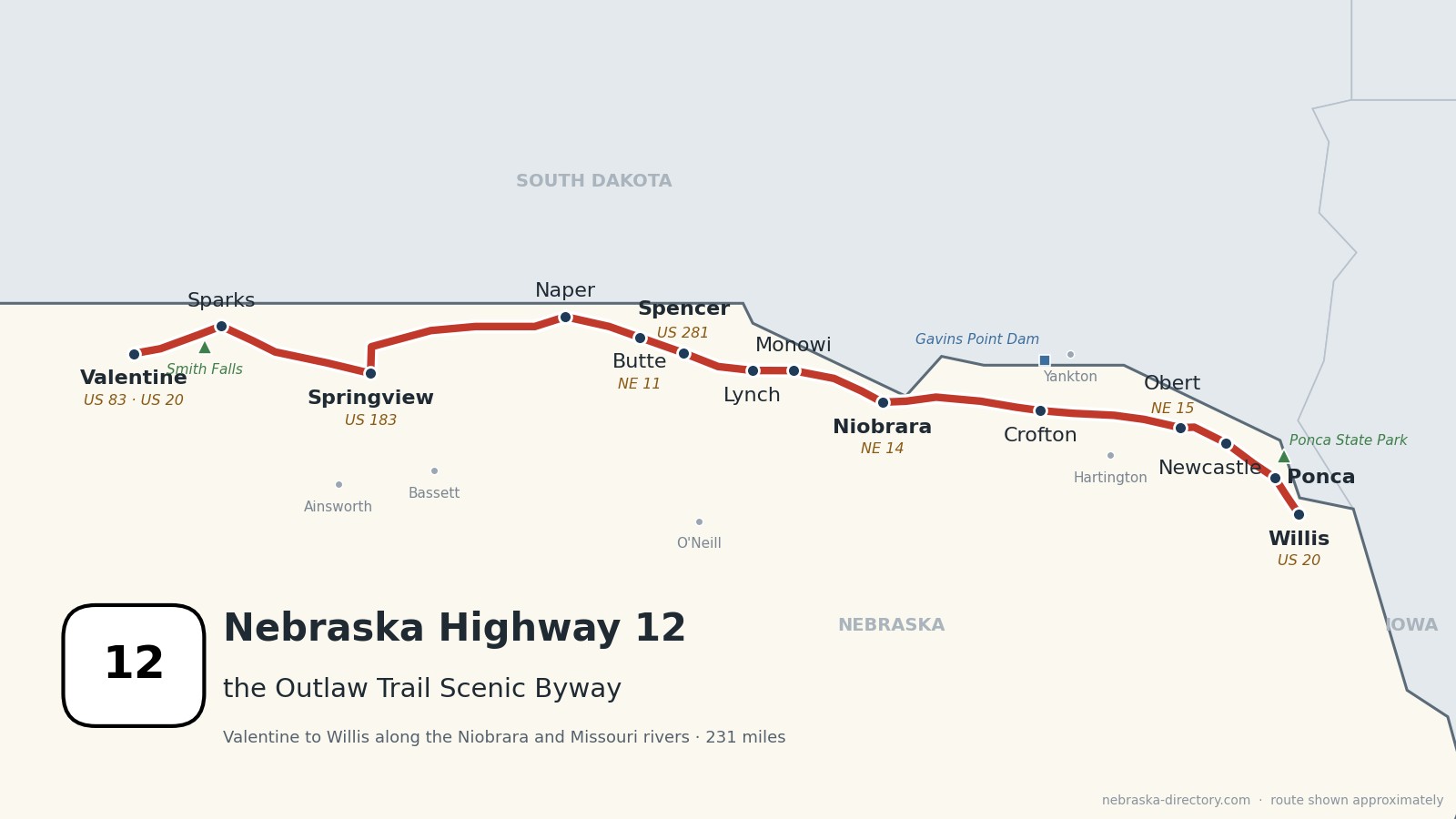
Nebraska Highway 12: The Outlaw Trail
Nebraska Highway 12 runs 231 miles across the top of the state, from US 83 in Valentine east to US 20 at Willis, just west of Jackson. For most of the way it stays within about ten miles of the South Dakota line. It follows the Niobrara River valley east to Niobrara, where the Niobrara meets the Missouri, then runs along the bluffs above the Missouri and Lewis and Clark Lake to Ponca. The whole road is the Outlaw Trail Scenic Byway. It crosses seven counties and passes some of the smallest towns in Nebraska, including Monowi, population one.
Before it was 12.
No named auto trail followed this route. On the 1924 list of Nebraska's named highways, the Blue Pole Highway touched only Valentine, and the Meridian Highway, from Norfolk to Yankton, crossed the corridor in Cedar County, probably about where US 81 crosses today. Nebraska put up its first numbered route markers on June 5, 1926, and Highway 12 has carried its number since that year.
The railroads made most of the towns. The railroad reached Valentine in 1883, beside Fort Niobrara. In Boyd and Knox counties, a railroad extension of about 1902 created Bristow, Monowi and Verdel. In the east, the Chicago, St. Paul, Minneapolis & Omaha Railway, the "Omaha Road," reached Wynot, Obert and Maskell in 1907. Most of those branch lines are gone now, and the highway is what ties the towns together.
The byway's name comes from local stories about horse thieves such as Kid Wade and Doc Middleton, who knew this country in the 1880s; some stories add Jesse James. Kid Wade was hanged by vigilantes near Bassett on February 8, 1884.
Begin your journey in Valentine and head east: past the bison at Fort Niobrara and the waterfall at Smith Falls, through the ranch towns of Keya Paha and Boyd counties, down to where the Niobrara meets the Missouri, and along the river bluffs to Ponca State Park.
Counties along Highway 12, west to east: Cherry · Keya Paha · Boyd · Knox · Cedar · Dixon · Dakota
Cherry County on Highway 12
Valentine, Fort Niobrara and Smith Falls.
On the road: Valentine (US 83, US 20) · Sparks · Cherry County page
Highway 12 begins at US 83 in Valentine, the county seat, and heads east. About four miles out, a short spur leads to the Fort Niobrara National Wildlife Refuge. The road then follows the Niobrara valley past Smith Falls State Park, home to Nebraska's tallest waterfall at about 63 feet, and through Sparks. This stretch of the Niobrara National Scenic River is known for canoeing, kayaking and tubing, and outfitters work out of Valentine and Sparks.
History along the road. Valentine was founded in 1882 and named for Congressman Edward K. Valentine; it calls itself "America's Heart City." Fort Niobrara was built in 1880 to watch the Brulé Lakota at the Rosebud agency and closed in 1906. President Taft made its grounds a wildlife refuge on January 11, 1912, and the refuge now covers about 19,000 acres with a herd of roughly 300 to 350 bison. The Niobrara National Scenic River, 76 miles from near Valentine to Nebraska 137, was designated on May 24, 1991. Smith Falls became Nebraska's youngest state park in May 1992; its footbridge is a 1922 truss bridge moved from Verdigre Creek and rebuilt there in 1996. Sparks is named for Eldon and Joseph A. Sparks, who bought the land in 1887, and its post office has been open since March 15, 1888.
Live cameras. Images from Nebraska 511; click one to open it full size.

Keya Paha County on Highway 12
Norden, Springview and "Mob County."
On the road: Norden (just south) · Springview (US 183) · Burton · Keya Paha County page
East of Sparks, Highway 12 crosses into Keya Paha County and passes the Norden road; the village and the county fairgrounds are about a third of a mile south. At Springview, the county seat, the road runs north with US 183 for five miles, then turns east across the hills and shares about four and a half miles with Nebraska 137 east of Burton.
History along the road. Keya Paha County was organized in 1885; its name is Lakota for "Turtle Hill River." A state historical marker says outlaws like Kid Wade and Doc Middleton knew the region well in the 1880s and 1890s, and that some called it "Mob County." Springview was founded about 1885 and named for a spring that has since dried up. Norden, named for Norden, Germany, is home to the county fairgrounds; its dance hall held its first dance on May 6, 1932, and the first county fair there was in 1898.
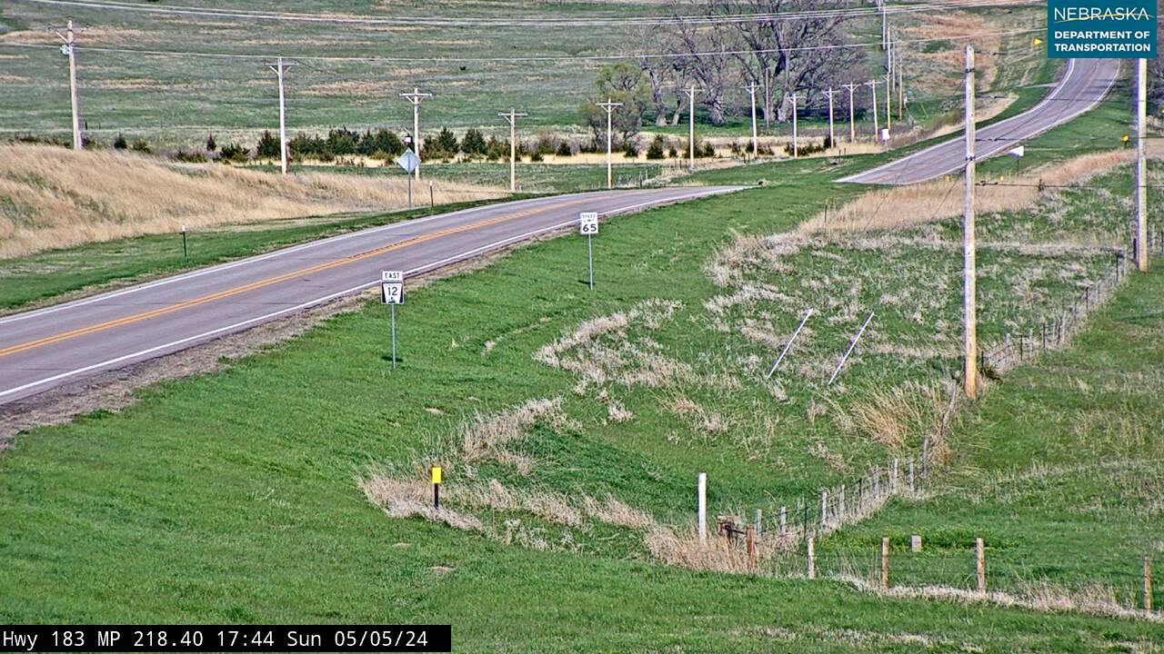
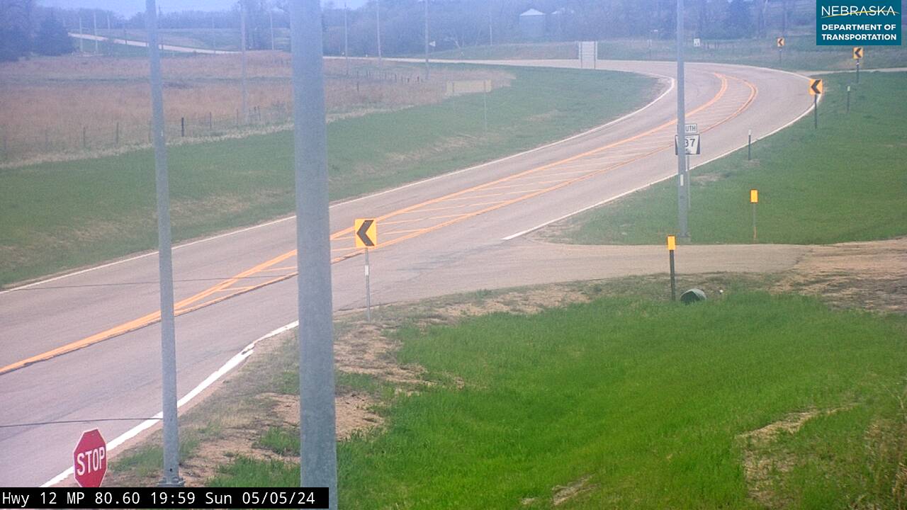
Live cameras. Images from Nebraska 511; click one to open it full size.
Boyd County on Highway 12
Naper, Butte, Spencer, Lynch and Monowi.
On the road: Naper · Butte (NE 11) · Spencer (US 281) · Bristow · Lynch · Monowi · Boyd County page
Highway 12 passes Naper, runs a mile with Nebraska 11 through Butte, the county seat, and shares about three and a half miles with US 281 at Spencer. From there it heads east past Bristow, Lynch and Monowi toward the Niobrara.
History along the road. Butte is named for the buttes nearby; the wrestler Gorgeous George was born there in 1915. Spencer was platted in 1891. The Spencer Dam on the Niobrara south of town, finished in 1927, was breached by an ice run in March 1935 and rebuilt in 1940, was damaged by ice again in 1960 and 1966, and failed for good on March 14, 2019; that flood took out Highway 12's bridge over the Mormon Canal near Niobrara. Bristow and Monowi were both laid out in 1902, when the railroad was extended; Bristow is named for Treasury Secretary Benjamin Bristow. Lynch, incorporated in 1892 and named for pioneer John Lynch, sits where Whiskey Creek meets Ponca Creek. Old Baldy, about seven miles north of Lynch, is where Lewis and Clark captured a prairie dog on September 7, 1804. Monowi has been known as America's one-person town, home to Elsie Eiler's Monowi Tavern and Rudy's Library, about 5,000 books.
Live cameras. Images from Nebraska 511; click one to open it full size.
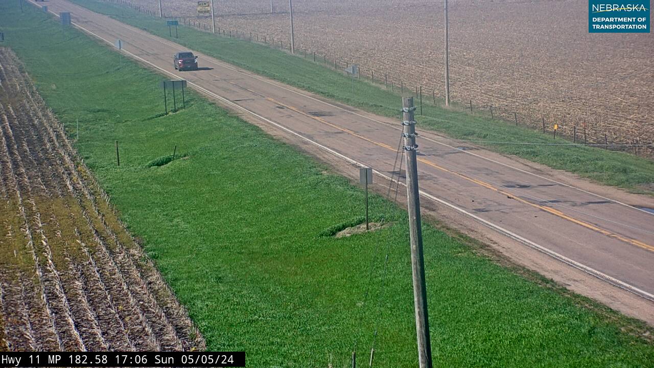
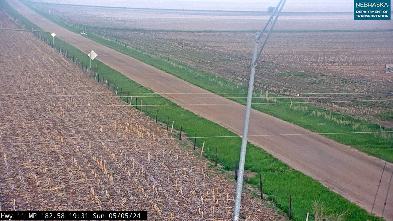
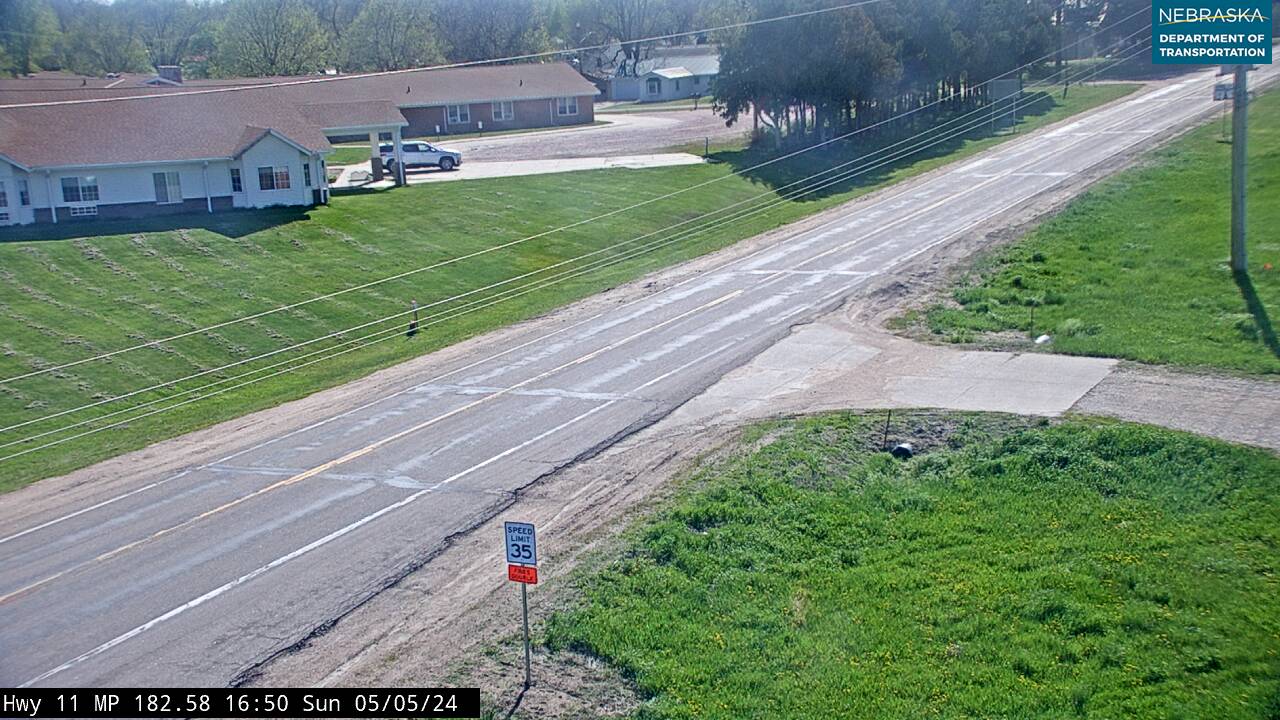

Knox County on Highway 12
Verdel, Niobrara, Santee and Crofton.
On the road: Verdel · Niobrara (NE 14) · Santee (spur north) · Crofton · Knox County page
Past Verdel, where a river access on the Missouri National Recreational River is two miles east, Highway 12 crosses the Niobrara near its mouth and runs with Nebraska 14 for about three miles into Niobrara. Nebraska 14 turns north there over the Chief Standing Bear Memorial Bridge into South Dakota, and Niobrara State Park sits where the two rivers meet. East of town the road crosses the Santee Sioux Reservation; a spur leads north to the village of Santee. At Crofton, Nebraska 121 heads north about ten miles to Gavins Point Dam and Lewis and Clark Lake.
History along the road. Niobrara has moved twice. After ice-jam floods in 1881, the town moved a mile and a half southwest; in the 1970s, rising groundwater from Gavins Point Dam forced a second move, and the new town was dedicated on July 4, 1977. Lewis and Clark passed the mouth of the Niobrara on September 4, 1804. The Ponca were forced to Indian Territory in 1877; Standing Bear's return in 1879 led to the landmark case Standing Bear v. Crook. The Ponca Tribe of Nebraska, terminated in 1962 and restored on October 31, 1990, is headquartered in Niobrara. The Santee Sioux were moved to Knox County in 1866, after the Dakota War of 1862. Crofton was platted in 1892 and named for Crofton Court in England. After the 2019 flood, Highway 12's bridge over the Niobrara reopened on August 10, 2019; NDOT's Niobrara East and West project plans to raise about six miles of the road on each side of town by six to eight feet.
Cedar County on Highway 12
Across US 81 to Wynot and Obert.
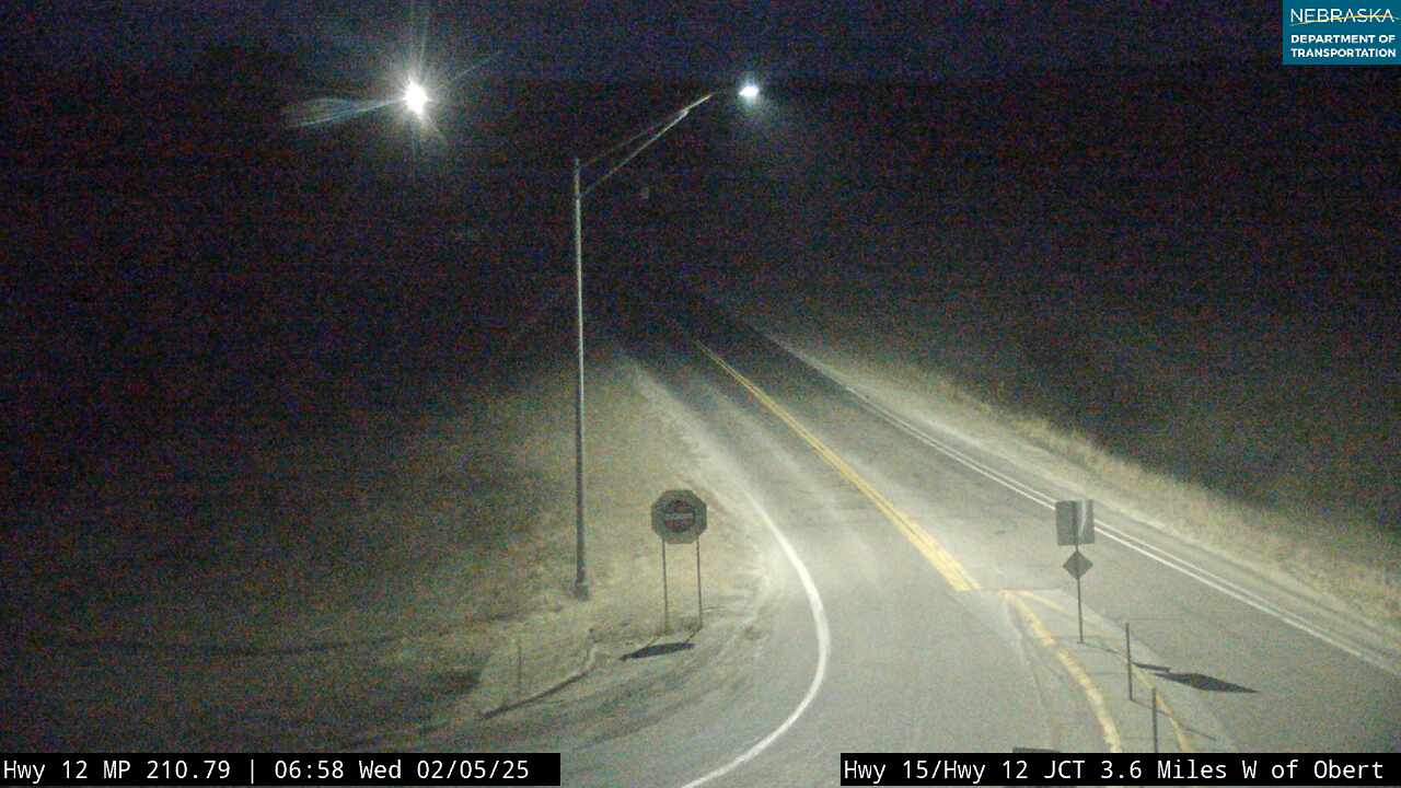
On the road: US 81 (crossing) · Wynot (spur north) · Hartington (via NE 57 south) · Obert (NE 15) · Cedar County page
Highway 12 crosses US 81 and passes short spurs to Fordyce, St. Helena and Wynot, while Nebraska 57 heads south to Hartington, the county seat. Near Obert it joins Nebraska 15 for about eight miles into Dixon County.
History along the road. Wynot was founded in 1907, when the railroad skipped St. James to avoid crossing Bow Creek twice; its first train came that October and its last on April 19, 1933. Obert was founded the same year by the Omaha Road and named for a railroad official.
Live cameras. Images from Nebraska 511; click one to open it full size.
Dixon County on Highway 12
Maskell, Newcastle and Ponca State Park.
On the road: Maskell · Newcastle · Ponca · Ponca State Park (spur north) · Dixon County page
With Nebraska 15, the road passes Maskell, then continues east to Newcastle and Ponca, the county seat, where a spur leads north to Ponca State Park and Nebraska 9 heads south.
History along the road. Maskell, founded in 1907, is said to have the smallest city hall in the country. Newcastle was incorporated in 1893 and named for a settler's house known as the "new castle." Near Newcastle is the Ionia "volcano," a smoking bluff Lewis and Clark noted on August 24, 1804; the heat came from iron pyrite oxidizing, and a state marker on Highway 12 tells the story. Ponca was platted in 1856 and has been the county seat since 1858; it calls itself Nebraska's fourth oldest town and holds the Days of '56 rodeo. Ponca State Park, about 2,100 acres, began in 1934 and has the Three State Overlook above the Missouri. The 59 miles of river from Gavins Point Dam down to Ponca became part of the Missouri National Recreational River on November 10, 1978.
Live cameras. Images from Nebraska 511; click one to open it full size.


Dakota County on Highway 12
Willis and the end of the road.
On the road: Willis (US 20) · Jackson (US 20) · South Sioux City (US 20) · Dakota County page
Highway 12 ends at US 20 at Willis, west of Jackson. Some descriptions of the Outlaw Trail Scenic Byway carry it on along US 20 through Jackson to South Sioux City.
History along the road. Jackson was settled in 1856 as St. John's by about 60 Irish Catholic settlers led by Father Jeremiah Trecy, and its parish is called the first Catholic parish in Nebraska.
Nebraska Road Conditions & Highway 12 Travel Tips
Highway 12 is two lanes the whole way, with long stretches between small towns, so plan fuel stops. Near Niobrara the road sits low beside the rivers and has been closed by flooding, and construction to raise it is planned. Check current conditions before you travel, especially in winter and spring.
RV Travel & Camping Along Highway 12
- Smith Falls State Park — between Valentine and Sparks
- Niobrara State Park — at Niobrara
- Lewis and Clark State Recreation Area — north of Crofton
- Ponca State Park — north of Ponca
Related Nebraska Travel Corridors
- US Highway 83 and US Highway 20 — at Valentine
- US Highway 183 — at Springview
- Highway 11 — at Butte
- US Highway 281 — at Spencer
- Highway 14 — at Niobrara
- US Highway 81 — in Cedar County
- Highway 15 — at Obert and Maskell
- US Highway 20 — at Willis
- ← Explore All Nebraska Travel Corridors