
Navigate & Explore Constance
Get directions to Constance: Waze → · Google Maps → · Apple Maps →
Nearby businesses: Find businesses within 20 miles of Constance →
Road conditions: Nebraska 511 — 511.nebraska.gov
Cameras: View Cedar County cameras →
Former post office · Cedar County · 1888–1909
About Constance
Constance is an unincorporated community in northwestern Cedar County, about 2 miles south of NE 12 and 2 miles west of US 81, near the Knox County line. It is centered on St. Joseph Catholic Church, its parish hall and St. Joseph's Cemetery; Crofton and Fordyce are each about 5 miles away.
History
Catholic families here belonged to the St. Helena parish until 1877, when they became a mission of Bow Valley. St. Joseph Church was built in 1894; lightning destroyed its tower and front in May 1899. The Constance post office ran from April 28, 1888, to April 3, 1909, and Constance School District 26 was organized in 1875. An earlier post office called Center Bow (1872–1875) was probably in the same area.
St. Joseph is now part of All Saints Parish with Fordyce and Menominee. Its parish hall marks 100 years in 2026, and the annual All Saints Parish Supper and Bazaar is held there in July (July 19 in 2026).
Nearby towns
| Fordyce | about 5 mi east | County roads |
| Crofton | about 5 mi northwest | County roads |
| Menominee | about 8 mi northeast | County roads |
| Hartington | about 15 mi southeast | County roads |
Things to see
St. Joseph Church, 88870 554 Ave. · St. Joseph's Cemetery
![History of Nebraska (Third Edition) [Paperback]](https://www.nebraska-directory.com/wp-content/uploads/2013/10/51faY4+Ux3L__SY300_.jpg)
51faY4+Ux3L__SY300_
cropped-hwy20x.jpg
Nebrask Inn
Nebrask Inn
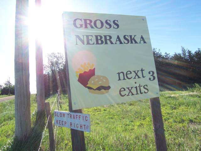
Gross Nebraska Next 3 Exits
Gross Nebraska Next 3 Exits
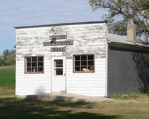
gross hall
Constance Businesses & Places
2 listings in Constance.
Click a category to see the businesses.
Community & Faith (2)
- Saint Joseph's Catholic Cemetery — Cemeteries
- St. Joseph Catholic Church — Catholic Church